![Raunaq's Hikes - Part 1: Kesch Trek [Guest Post]](https://images.squarespace-cdn.com/content/v1/5c33451b710699b10e8e4576/1664451604215-M4NKRUC7BKIGB3ZCARC5/20220911_160546.jpg)
Raunaq's Hikes - Part 1: Kesch Trek [Guest Post]
Hello,
I’m Raunaq - husband of Alex (wanderwego). If you follow her instagram stories - I’m usually the one panting up the mountain, grumbling about not taking the gondola.
My resting face kind of looks like I’m grumbling, but I’m really not.
Given this, it may surprise you that I actually enjoy hiking and it’s not just Alex who drags me into the mountains. Sometimes I drag myself. This summer (which I christened the #summerofraunaq) I didn’t work, and as a result, did a lot of hiking.
As Alex unfortunately did not get to have the #summerofalex, I did a lot of this hiking alone.
While some of the #summerofraunaq was spent catching up on hikes Alex did without me - I did do some trails Alex hadn’t been on.
As such, I’ve been granted space on her blog to detail these out. Both my writing and photography skills are not nearly as good as hers, so please lower your expectations if you continue to read past this point.
Also, per direction from the wanderwego studio boss - I’ve split this up into multiple parts.
This is Part 1.
Note that the difficulty rating is my guess based on the technical difficulty - less a reflection on length and/or elevation gain or loss. Also caveating that I hiked over 400 km over the summer so I was in pretty reasonable hiking shape.
Kesch Trek
The Kesch trek is a 4 day trek in Graübunden. It was recommended to me by a fellow hütte dweller at Blüemlisalphütte. She said it was a great trek - a lovely region with each stage being a good challenge and length - not too easy and not too hard - kinda like a Goldilocks trek. She was dead right.
Each stage can also be done as day hikes if needed as there’s enough exits to make a good day out of it - though if you can, stay at the hüttes because they are very nice.
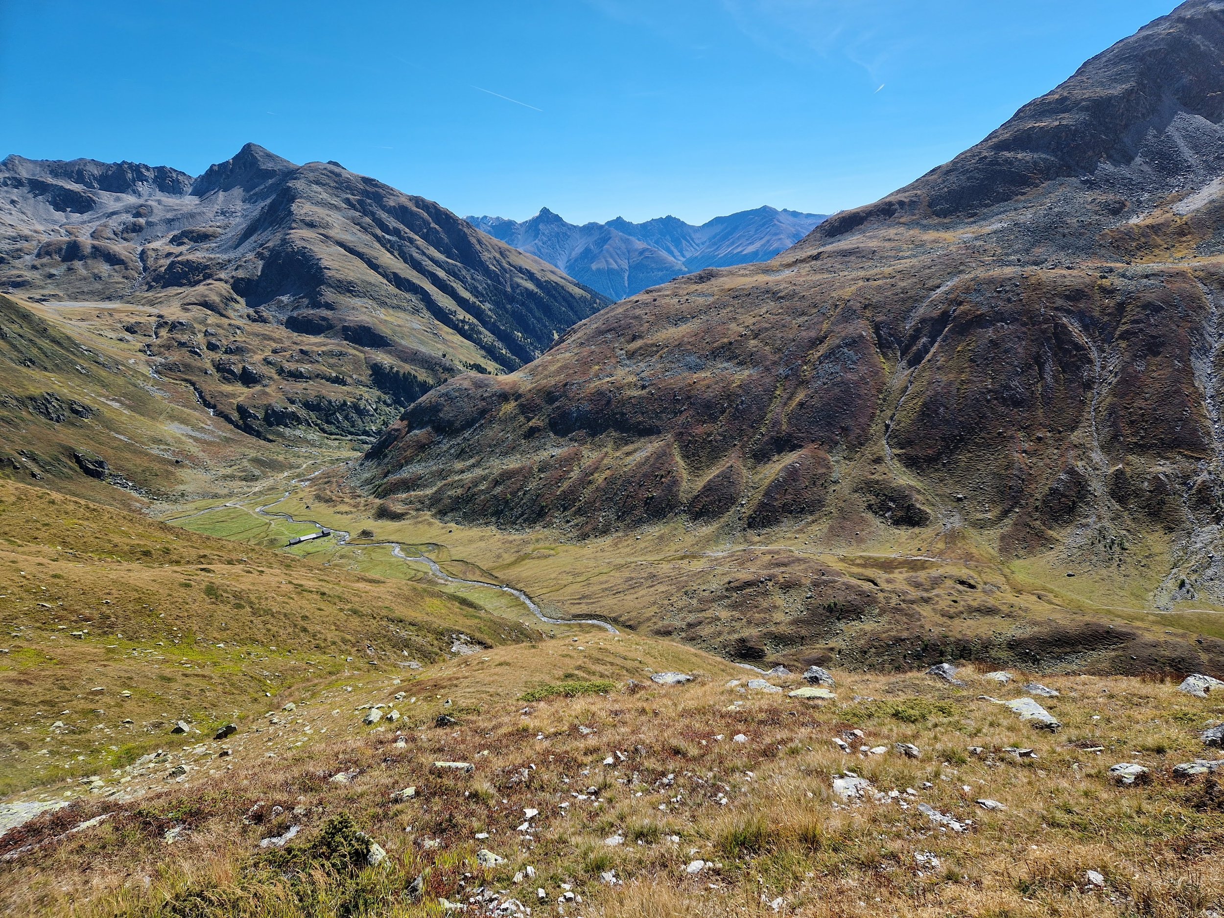
Kesch trek day 1: Susch, Abzw. Schwarzhorn bus stop to Grialetsch hütte via Schwarzhorn
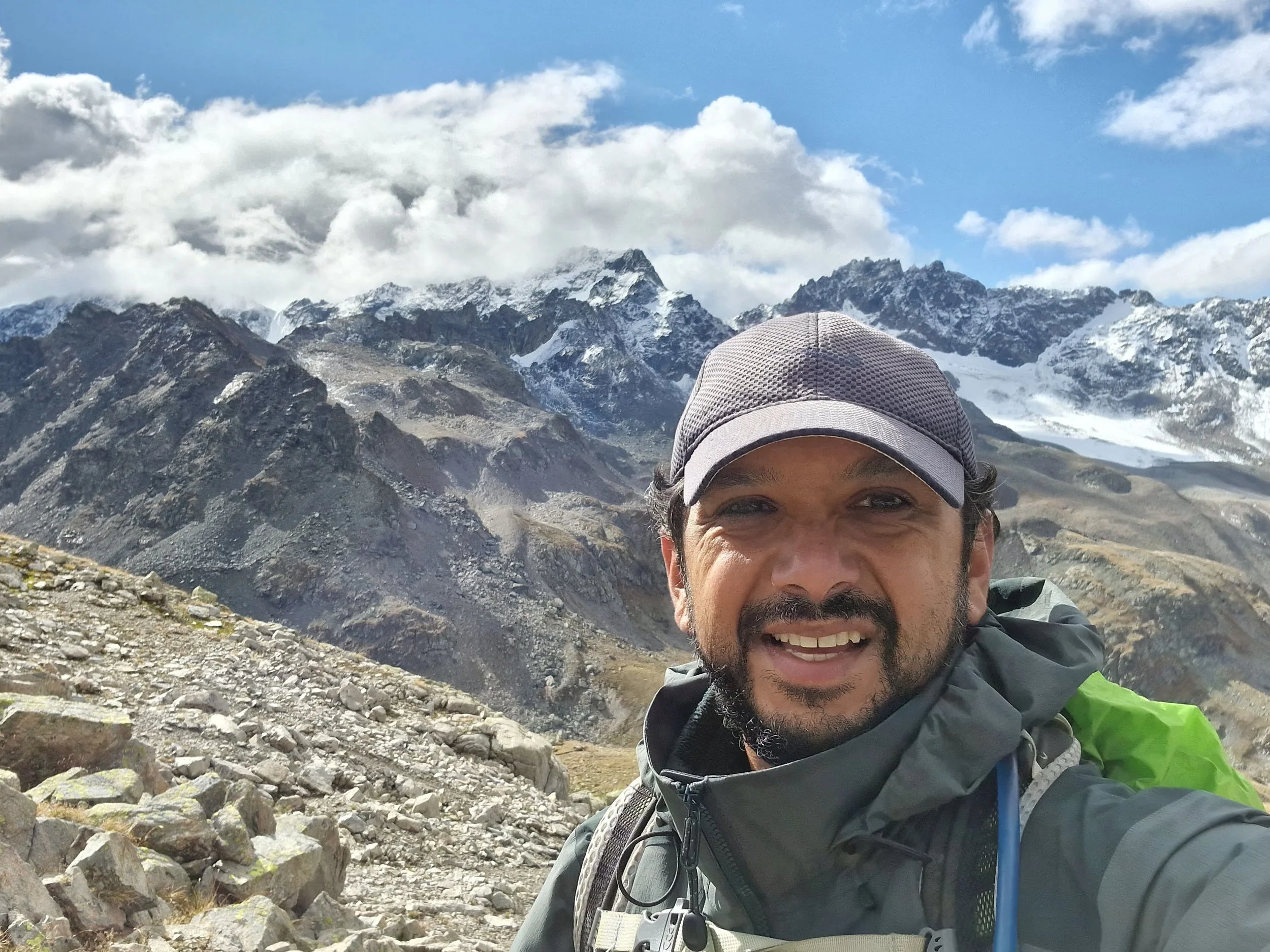
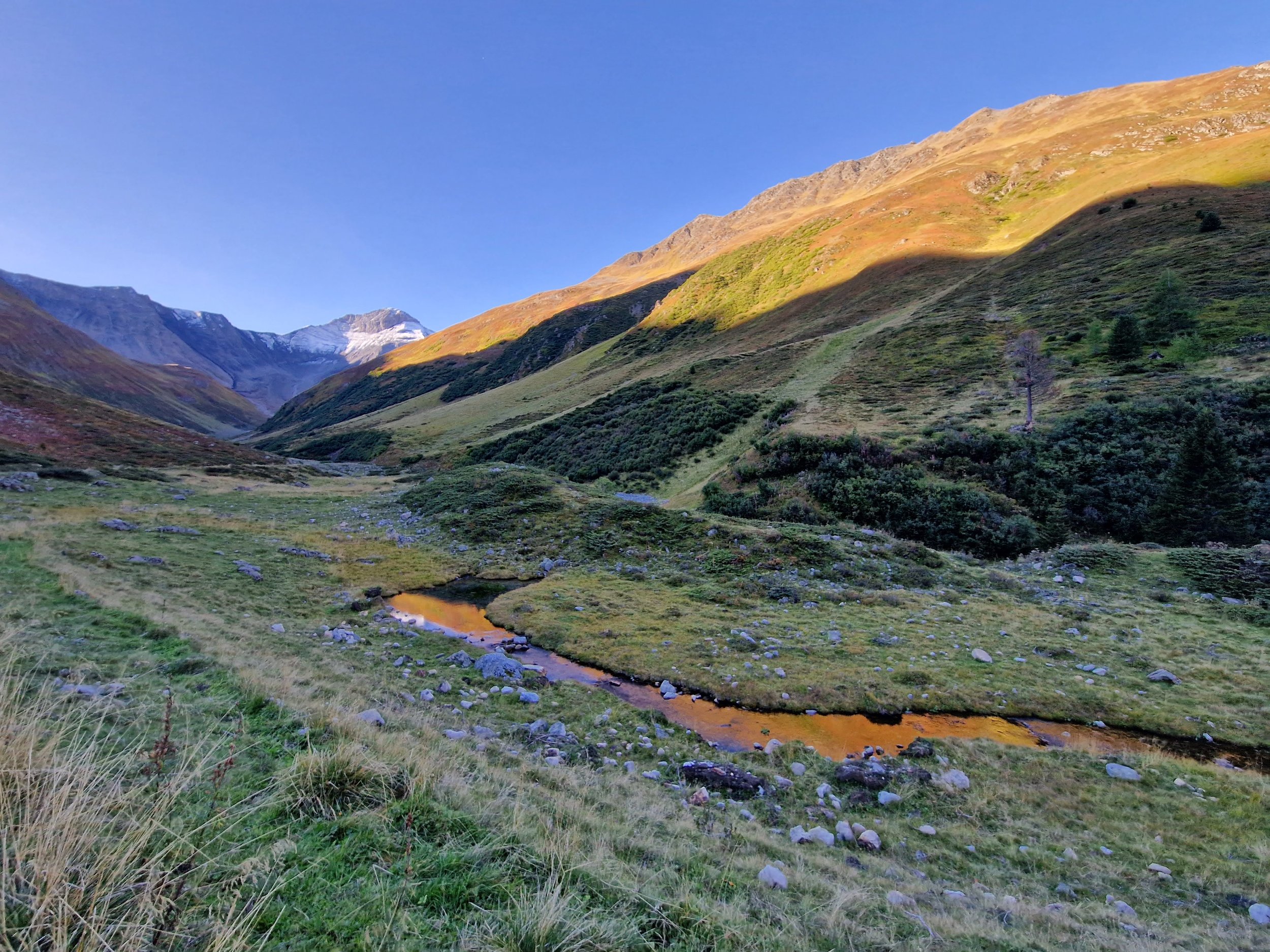
There are a few ways to get to the Grialetsch hütte from the Susch, Abzw. Schwarzhorn bus stop. I picked a slightly longer one that took me up to the summit of Schwarzhorn. The climb up to Schwarzhorn was pretty straightforward. I’m sure the view would be fantastic on a clear day but I got a great view of fog because it was snowing in early September(!)

Felt like winter on top of Schwarzhorn - I’m sure the views would be prime on a clear day.
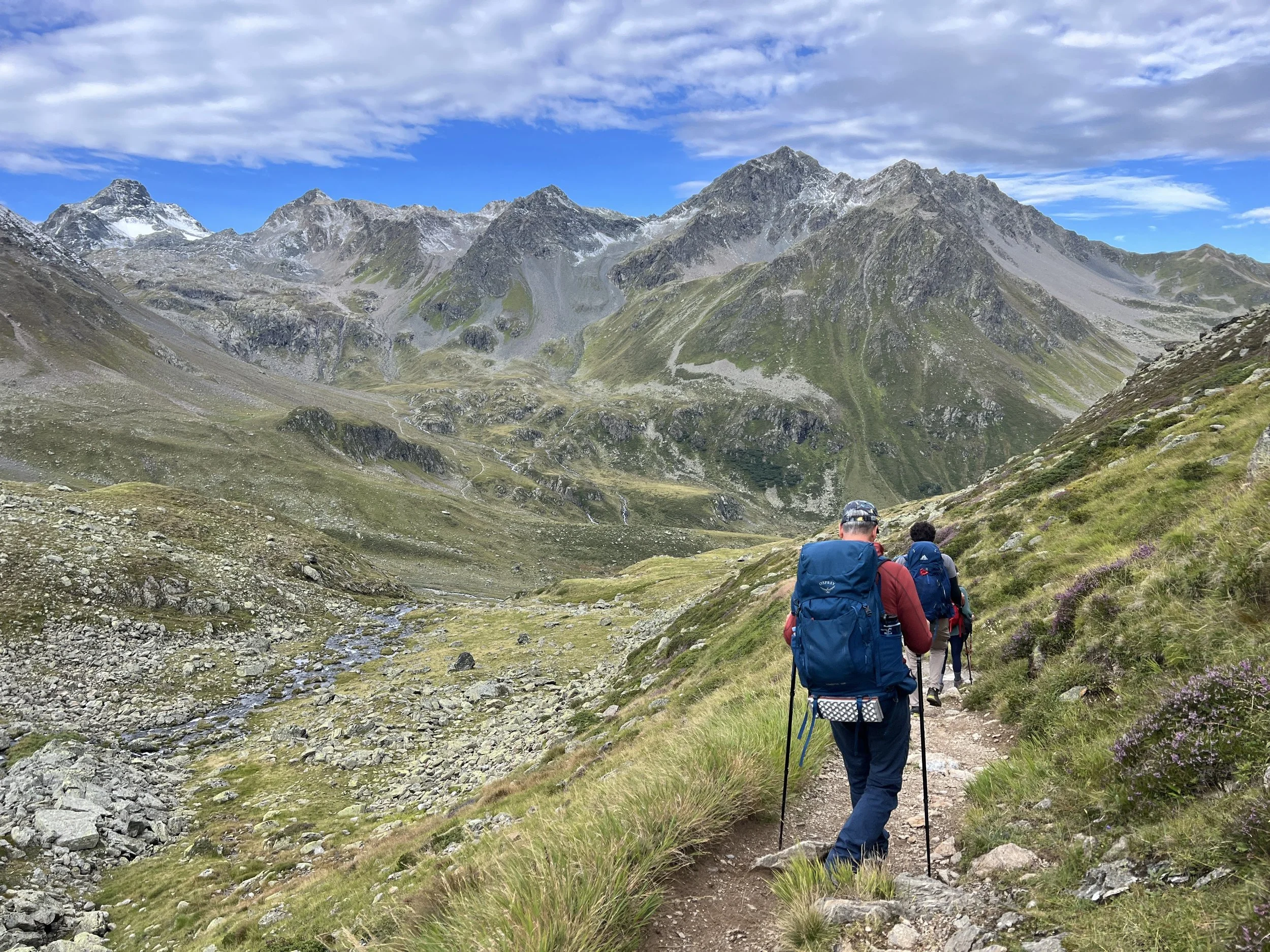
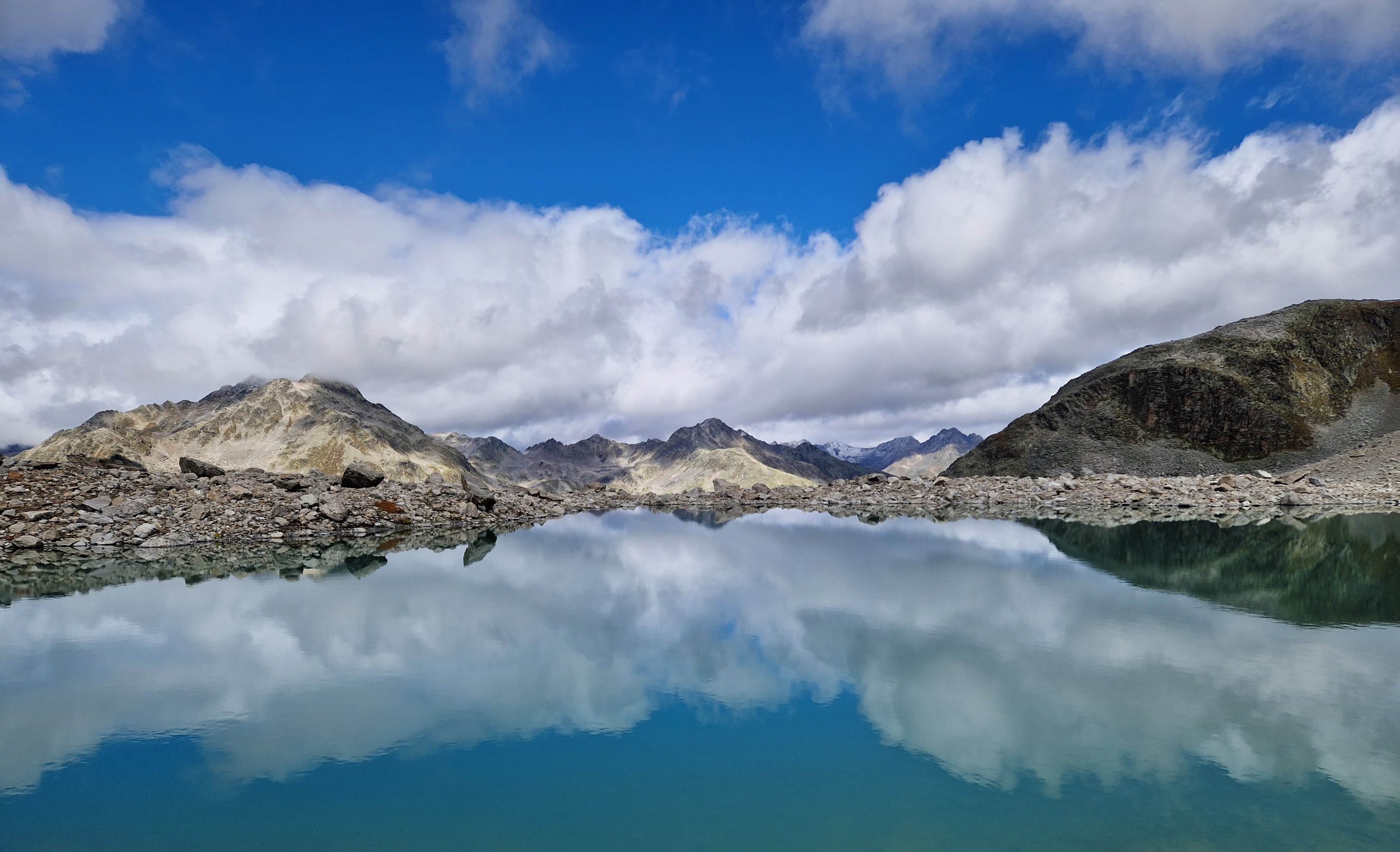
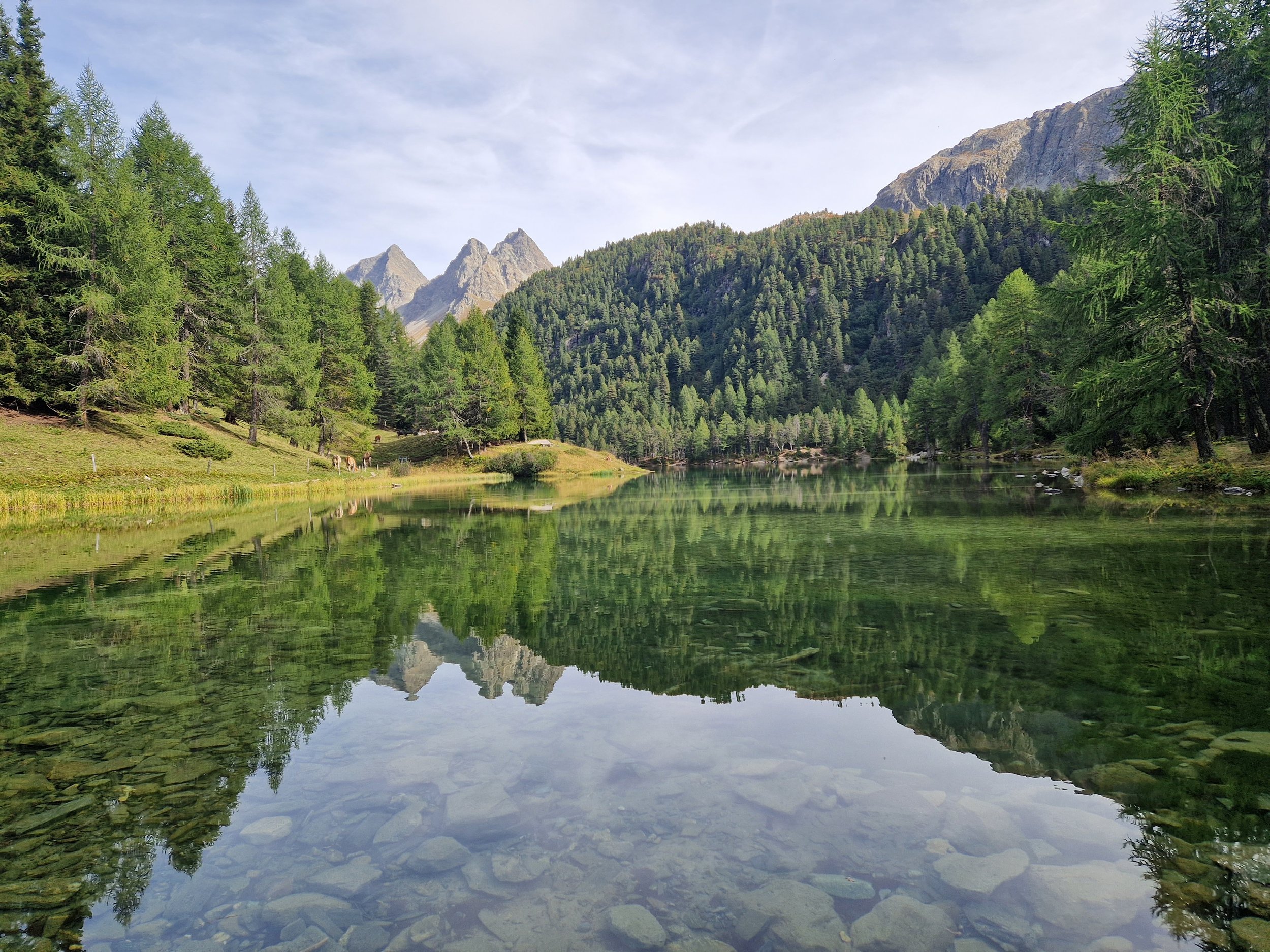
Past Schwarzhorn the trail takes you via some rock fields to a pass - from which there’s a fair amount of scrambling through boulders to the Grialetsch hütte, which is situated right by 2 awesome lakes with these crazy boulders (which I was told were called ‘erratic rocks’) in the middle of them. Makes all the scrambling around the boulder fields to get to there worth it.
Difficulty: Moderate | Length: 10km / 1100 up / 900 down | Route
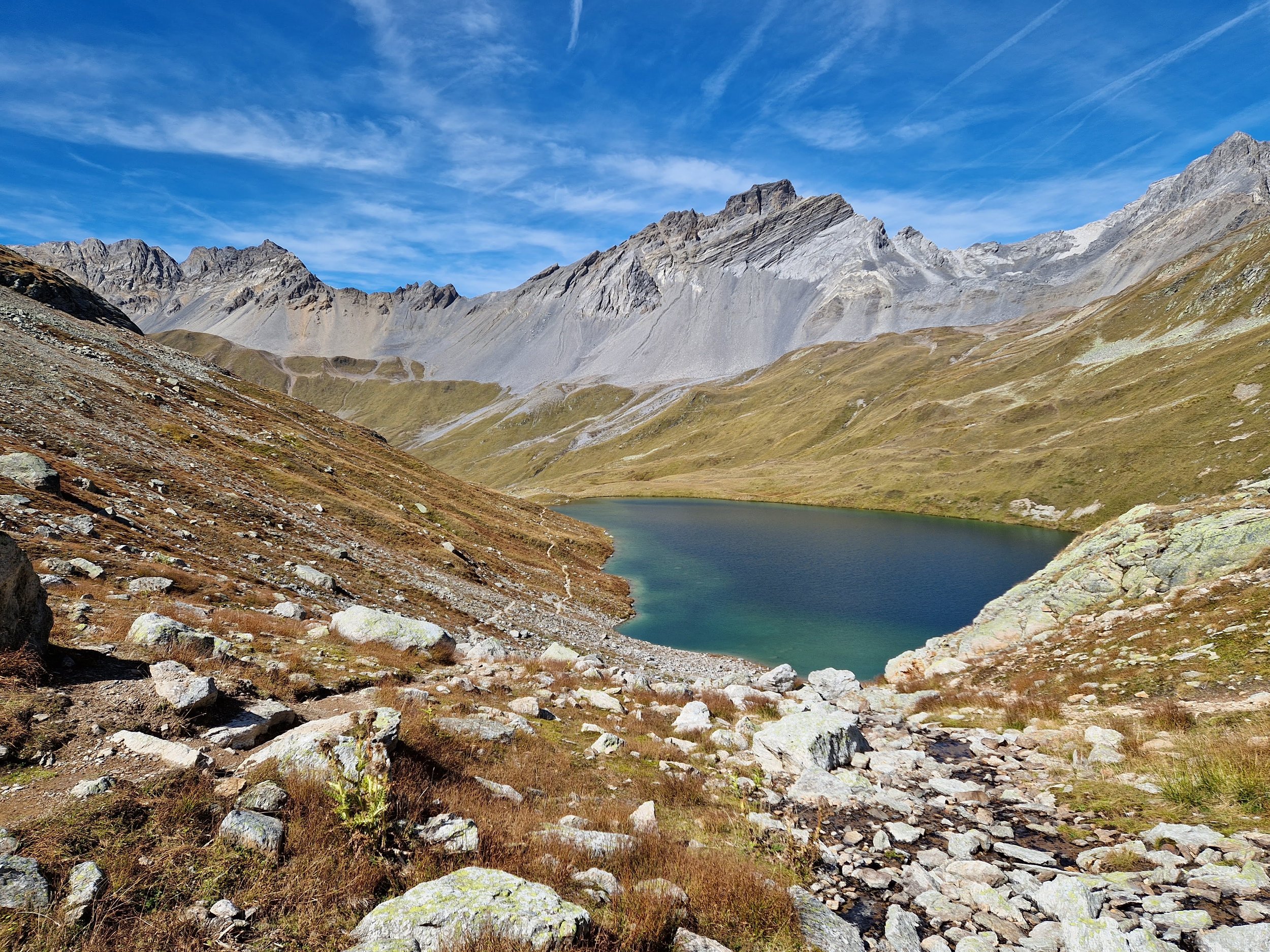
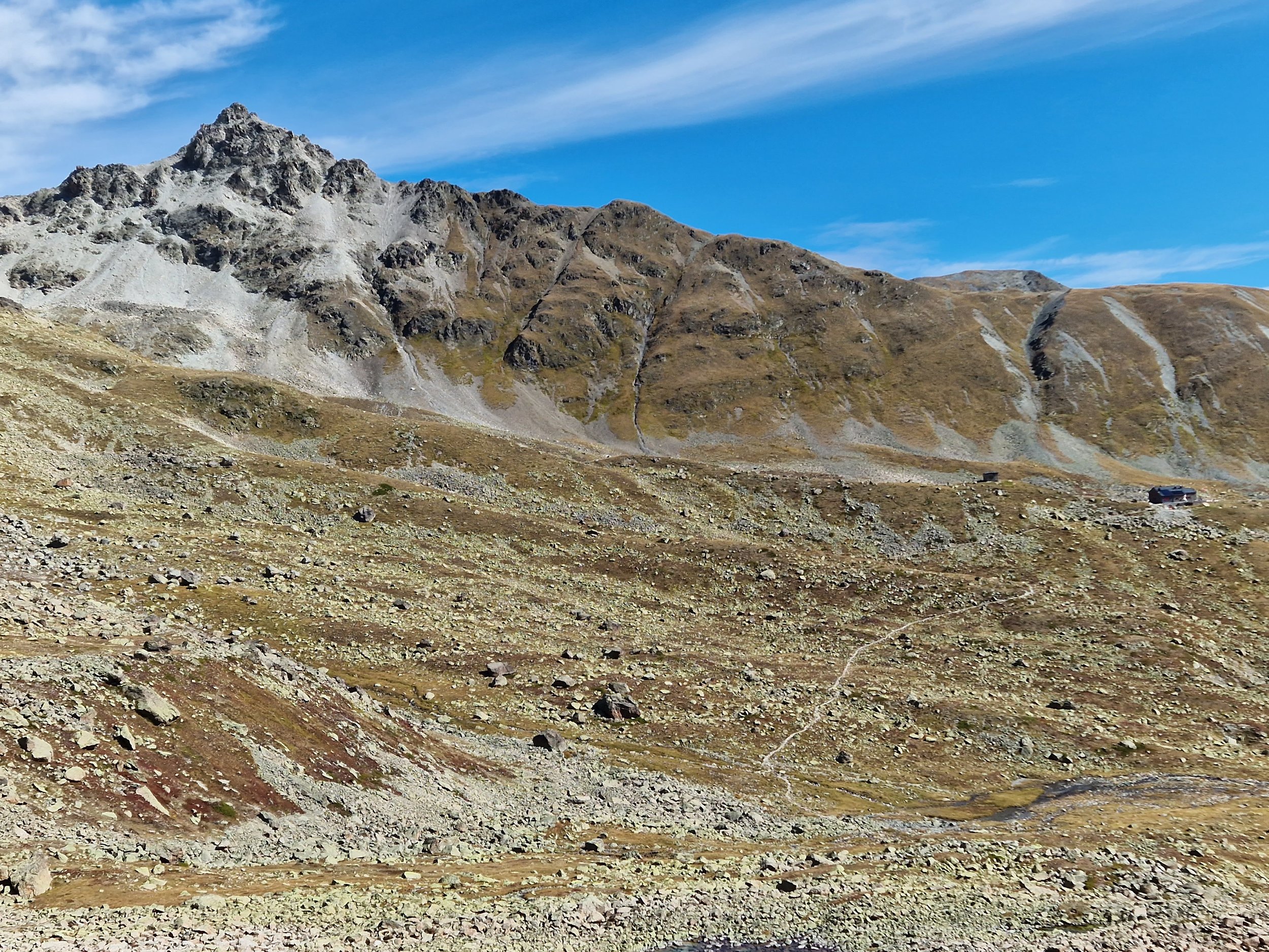
Kesch trek day 2: Grialetsch hütte to Kesch hütte via Lai da Ravais-ch Suot
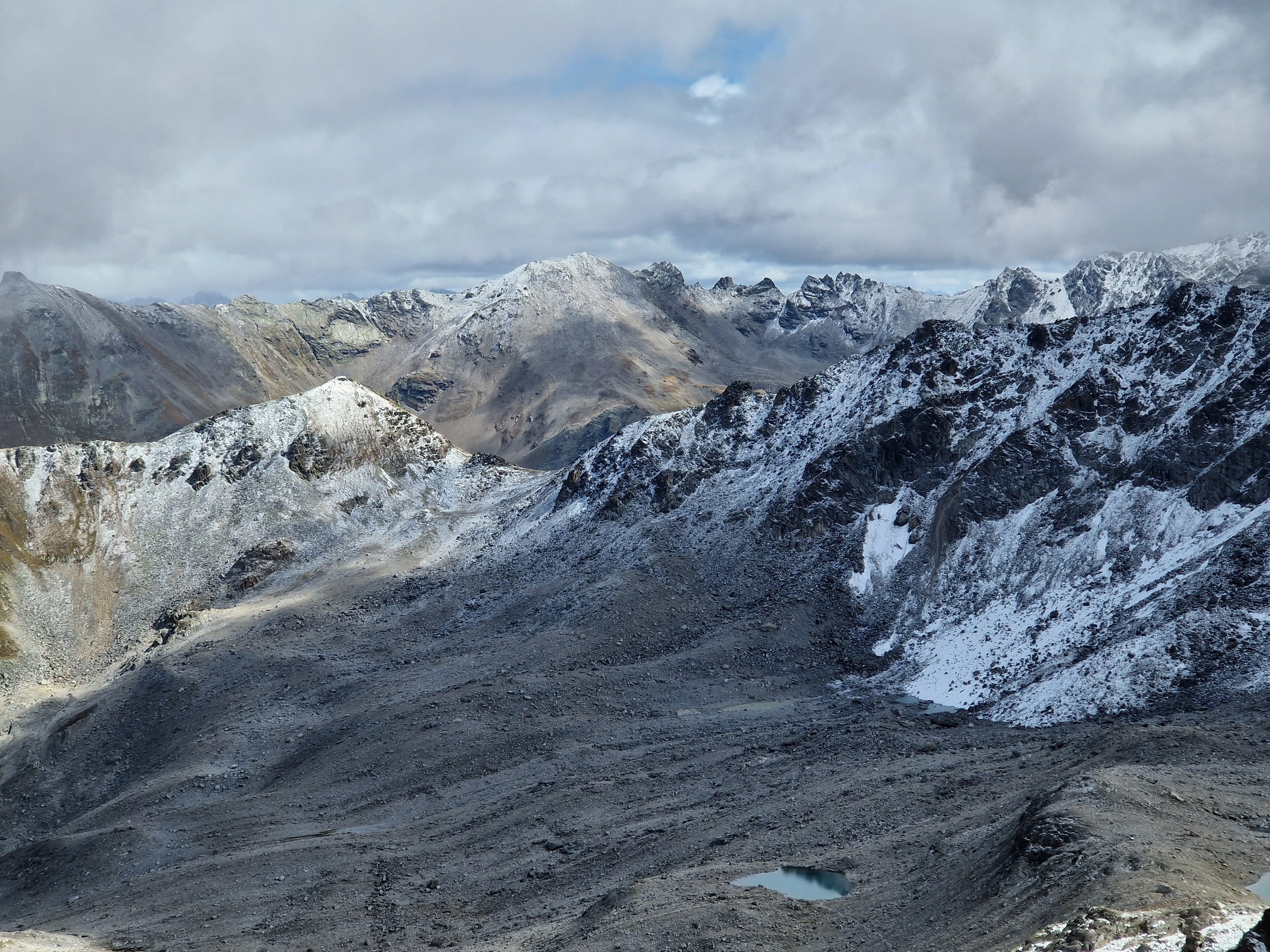
This is a pretty easy day. You leave the Grialetsch hütte and go downhill for a bit (from where you can exit to Dürrboden if you want to shorten the trek) and then it climbs up a few hundred meters to Scalettapass.
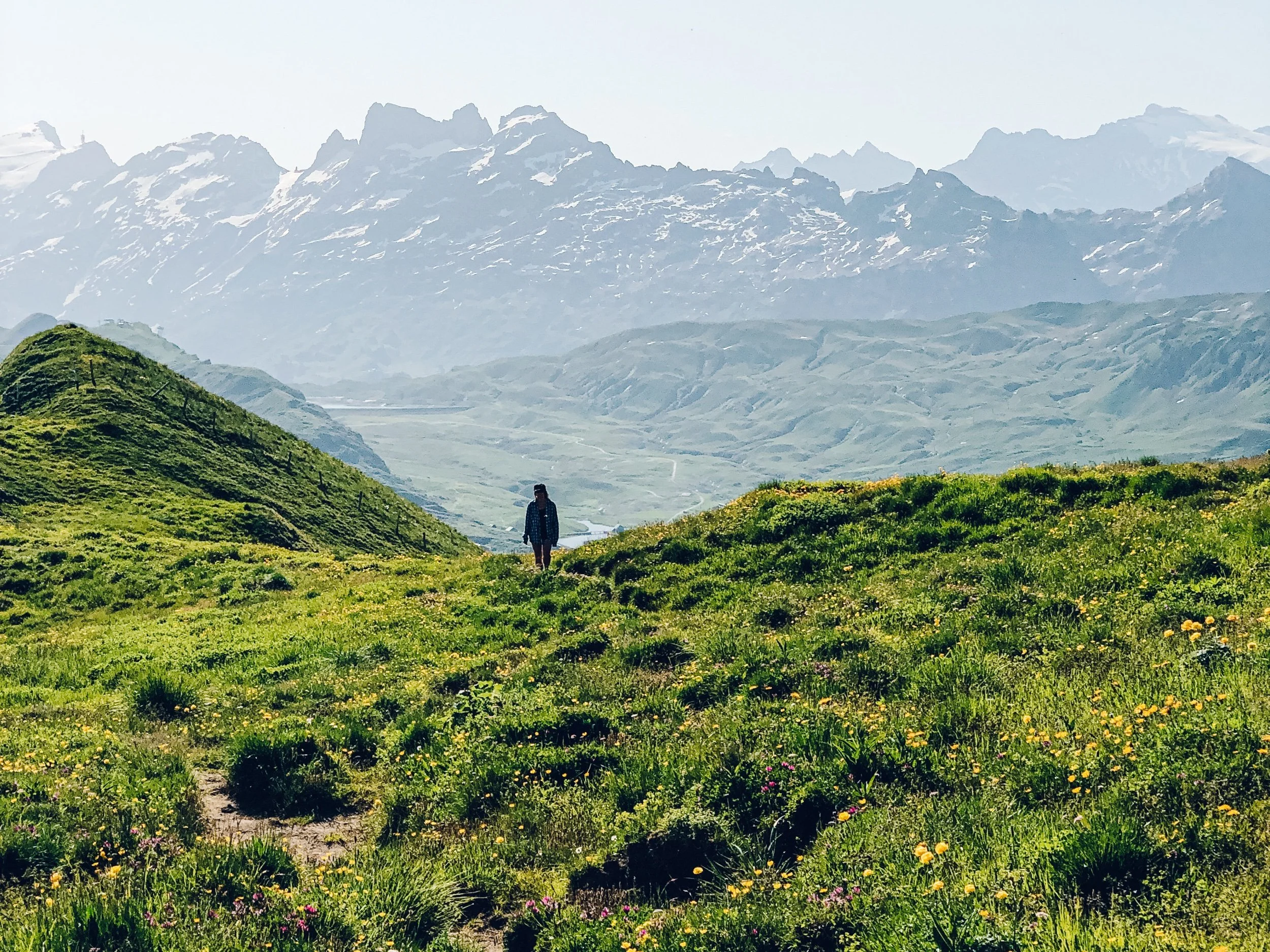
Then there’s a really nice long traverse along the mountainside with views down the valley. The direct path to the Kesch hütte is around 12kms but I added a detour to a set of lakes - Lai da Ravais-ch Suot being the nicer one. The lakes and the mountains behind them are especially pretty. The best part of this detour is that it is pretty isolated so I could drop my draws and have a nice ice bath to wash off the past 2 days.
The walk to the Kesch hütte from the lake to has a little bit of elevation gain but if you do it slowly enough you can not sweat and keep the fresh fresh feeling from your recent bath!
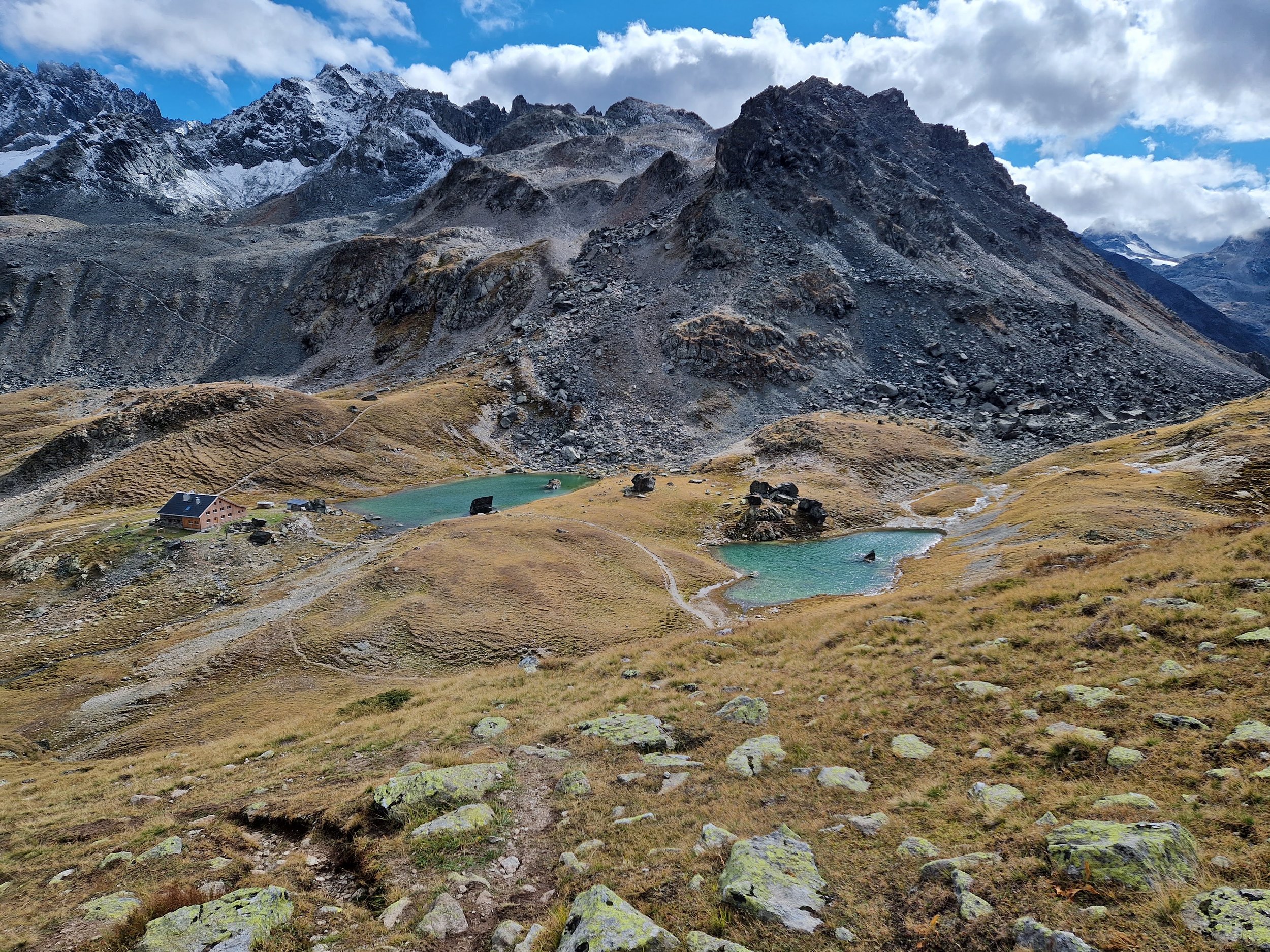
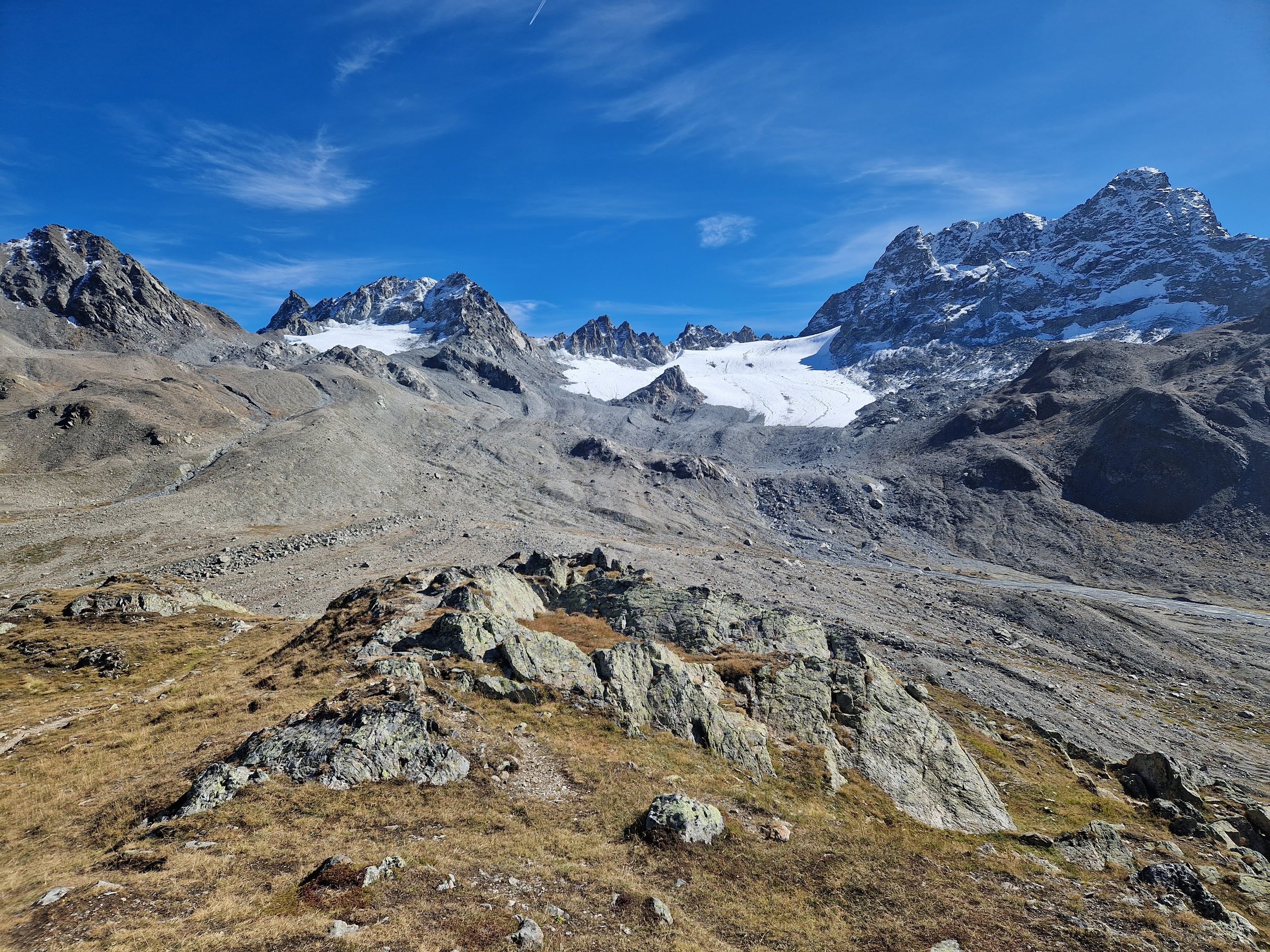
The Kesch hütte is especially nice - right in front of the Kesch glacier with a lovely set of wardens.
Difficulty: Easy | Length: 18km / 1000 up / 900 down | Route
Kesch trek day 3: Kesch hütte to Preda
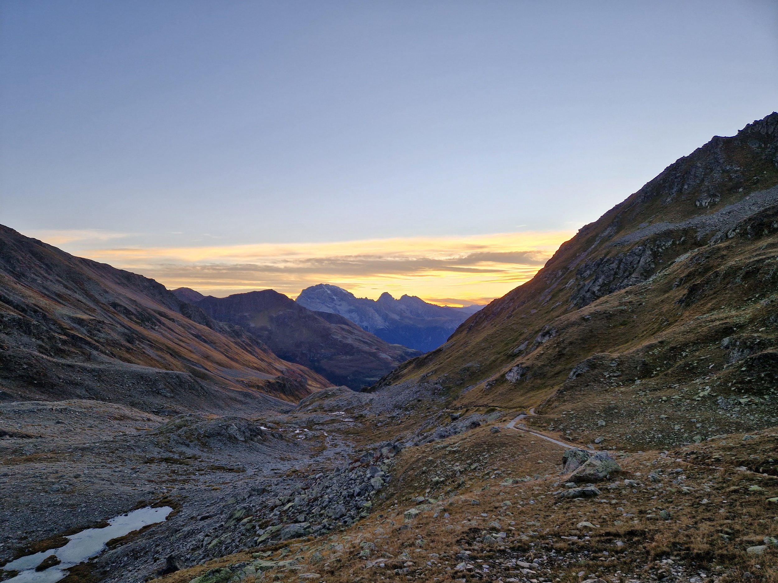
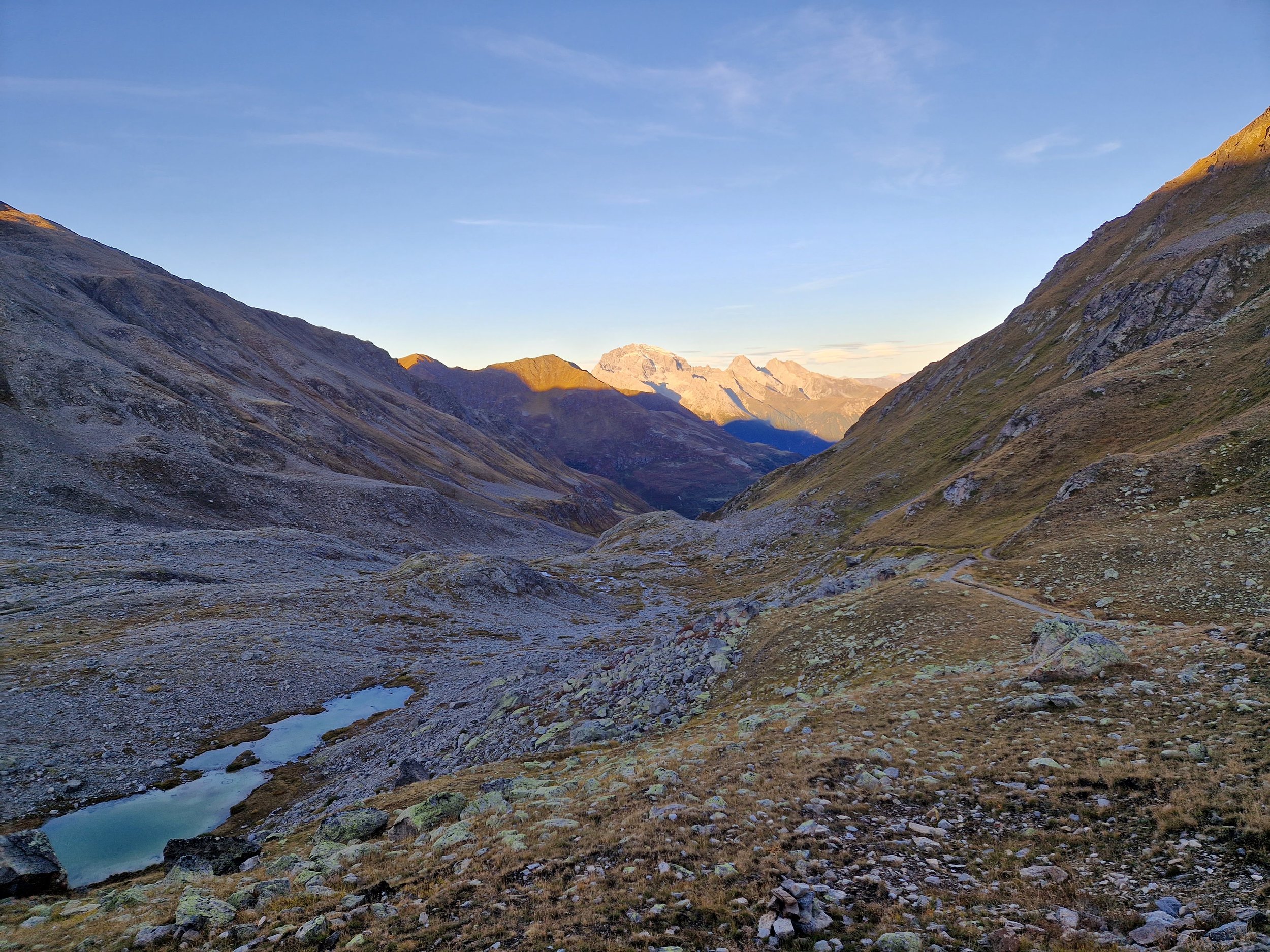
I combined the final two stages of the Kesch trek and then cut out part of the last stage. I can’t remember why I did this but I think it was a combination of hubris (because I’d been hiking all summer) and because it was meant to rain and I’m a wuss and don’t like hiking in the rain. But it did make for a long walk - long enough to be somewhat grumpy by the end of it.
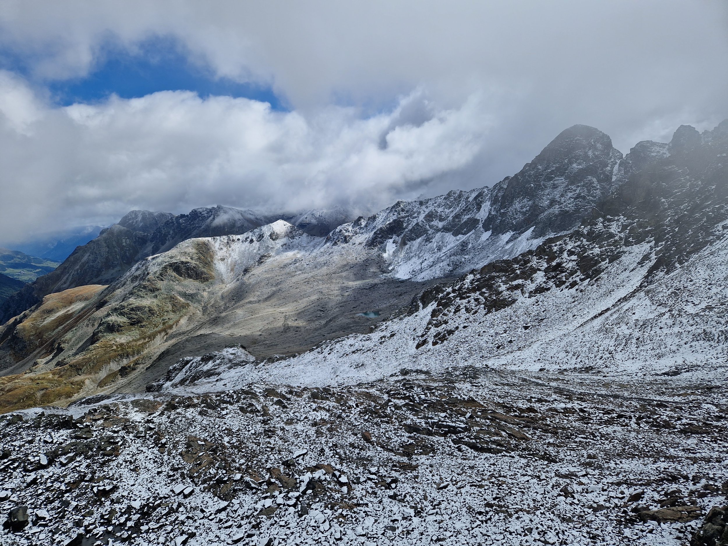
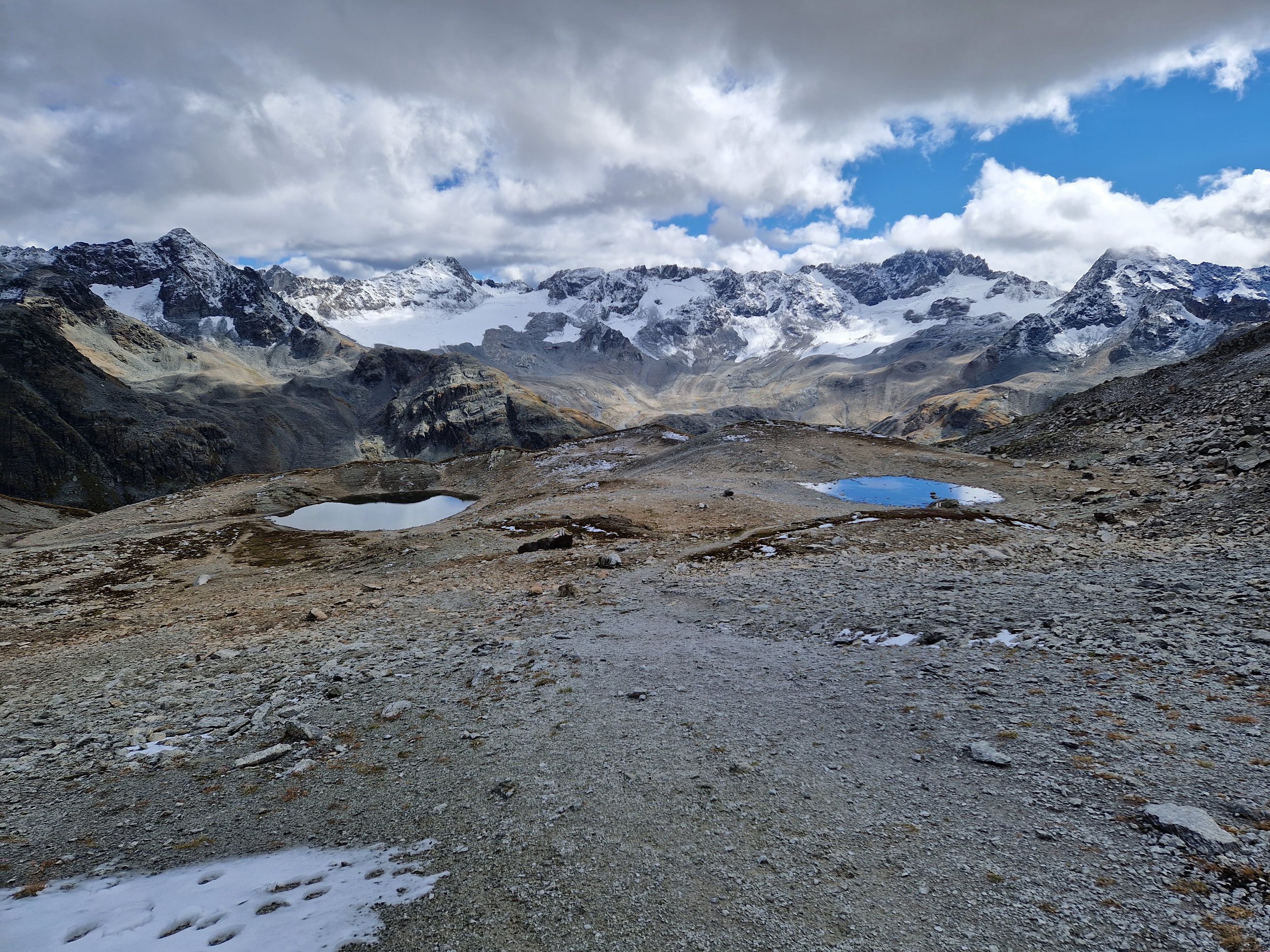
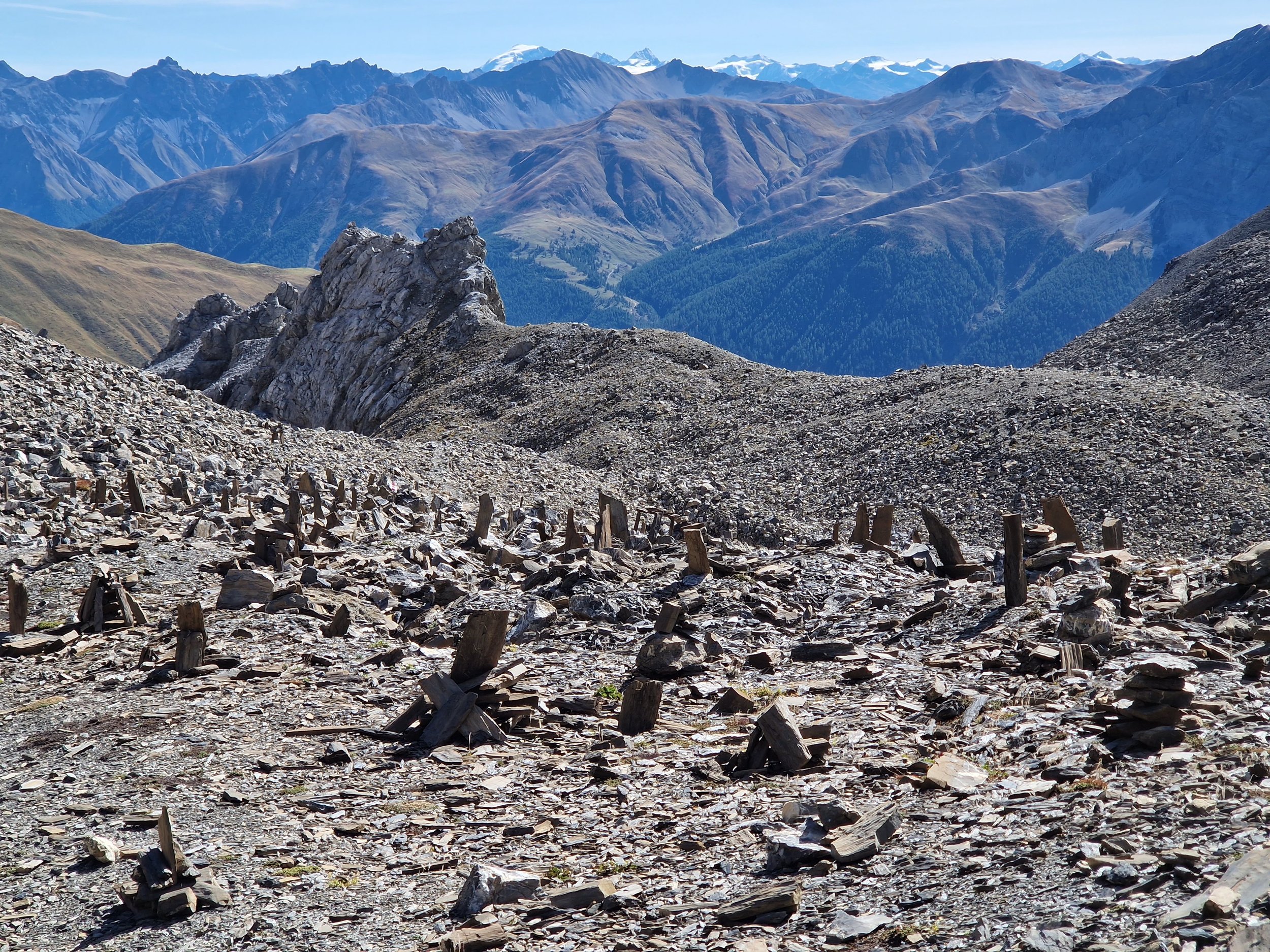
The path from the Kesch hütte to Chamanna d’Es-cha is very nice - there’s a long steep downhill section to get out of the valley and then a slight uphill bit through a really pretty valley - especially nice in the early morning light. Then a straight up through some scree to get to a saddle with views for days.
The final descent to Chamanna d’Es-cha is through some cool rock fields with lots of cairns. While I didn’t stay at Chamanna d’Es-cha overnight - I did eat a pretty amazing rösti to fuel the next section.
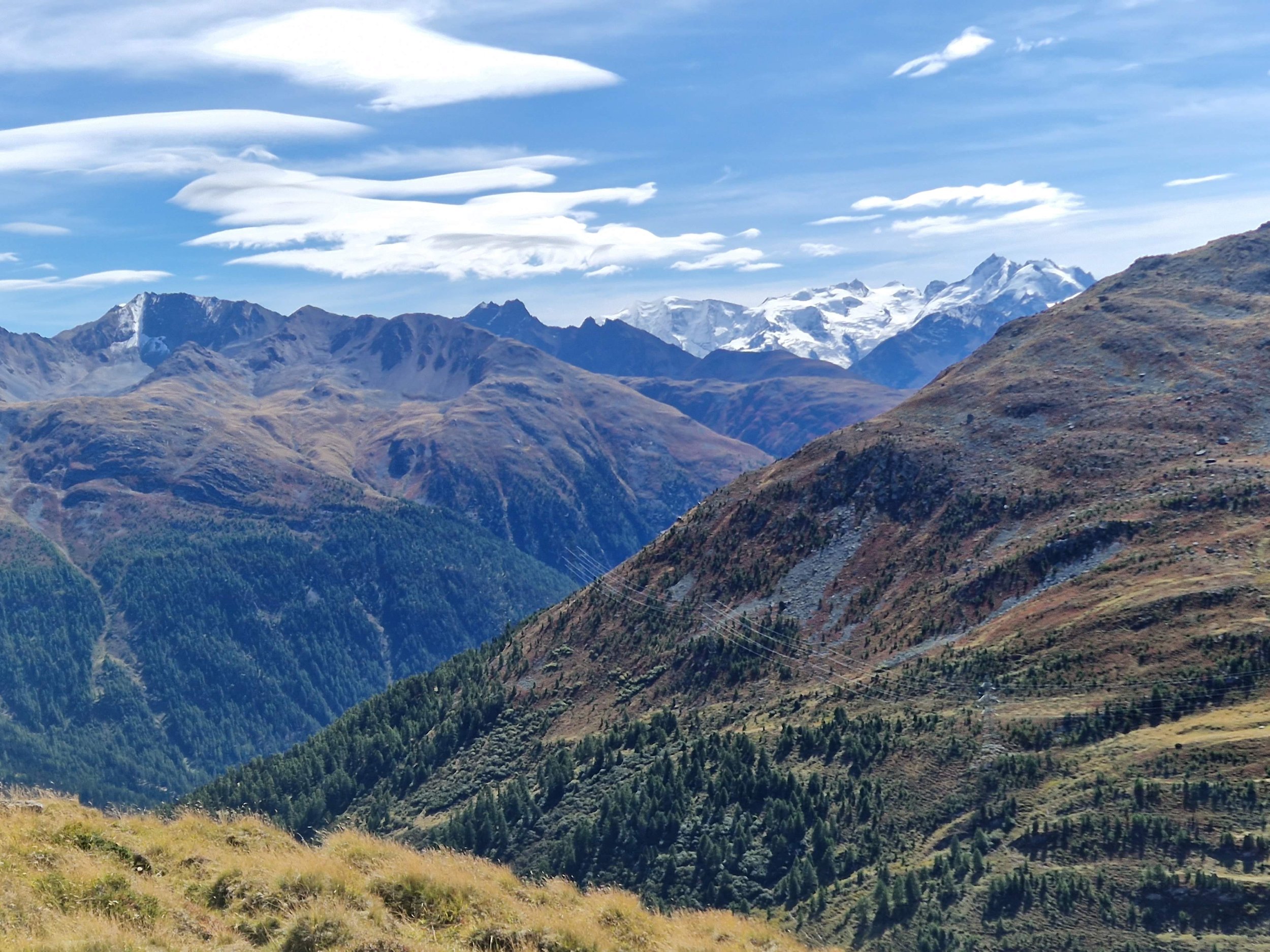
The next section of the official hike is from Chamanna d’Es-cha to Bergün but I shortened it to end at Preda. In hindsight, I’d skip the section from Es-cha to Preda - the first bit is quite nice as it traverses the mountainside but then once it descends to the road it continues down alongside the road and/or high voltage power lines around 9kms to Preda. I’d just hike from Chamanna d’Es-cha down to La Punt or Madulain.
The reason I planned the hike to Preda was to swing by (and hopefully bathe at) Lai da Palpuegna, which was voted the "most beautiful spot in Switzerland'' according to the website. The lake was nice but as it’s easily accessible by road and train, it was pretty busy. So no bathing for me and a travesty for my fellow train riders on the 4 hour train ride home.
Also, my backpack was attacked by a low hanging tree branch and I lost my vest which was tied to the outside. So if you find a dark green fleece vest (with a black and white buff and a snotty handkerchief in the pocket) near the tree on the east end of Lai da Palpuegna please take it and use it with my compliments to keep your core warm when hiking.
Difficulty: Moderate | Length: 29km / 1300 up / 2200 down | Route

![Raunaq's Hikes - Part 3: Via Alpina [Guest Post]](https://images.squarespace-cdn.com/content/v1/5c33451b710699b10e8e4576/1664464182062-ADLP11H0FH4K22OWY78M/78E30AFB-271C-40D9-9F82-2798E8A602D9.jpg)
![Raunaq's Hikes - Part 4: Ticino Huts [Guest Post]](https://images.squarespace-cdn.com/content/v1/5c33451b710699b10e8e4576/1664467934408-L7T5J5CHFLCN4EJND6WA/IMG_8817.jpg)