Rigi Hochflue: Central Switzerland
The hike to Rigi Hochflue is varied, technical, and really fun. There are three different routes to the summit, and all are rated T4 or higher, so for this one, it’s essential to be confident in your footing and comfortable with exposure.
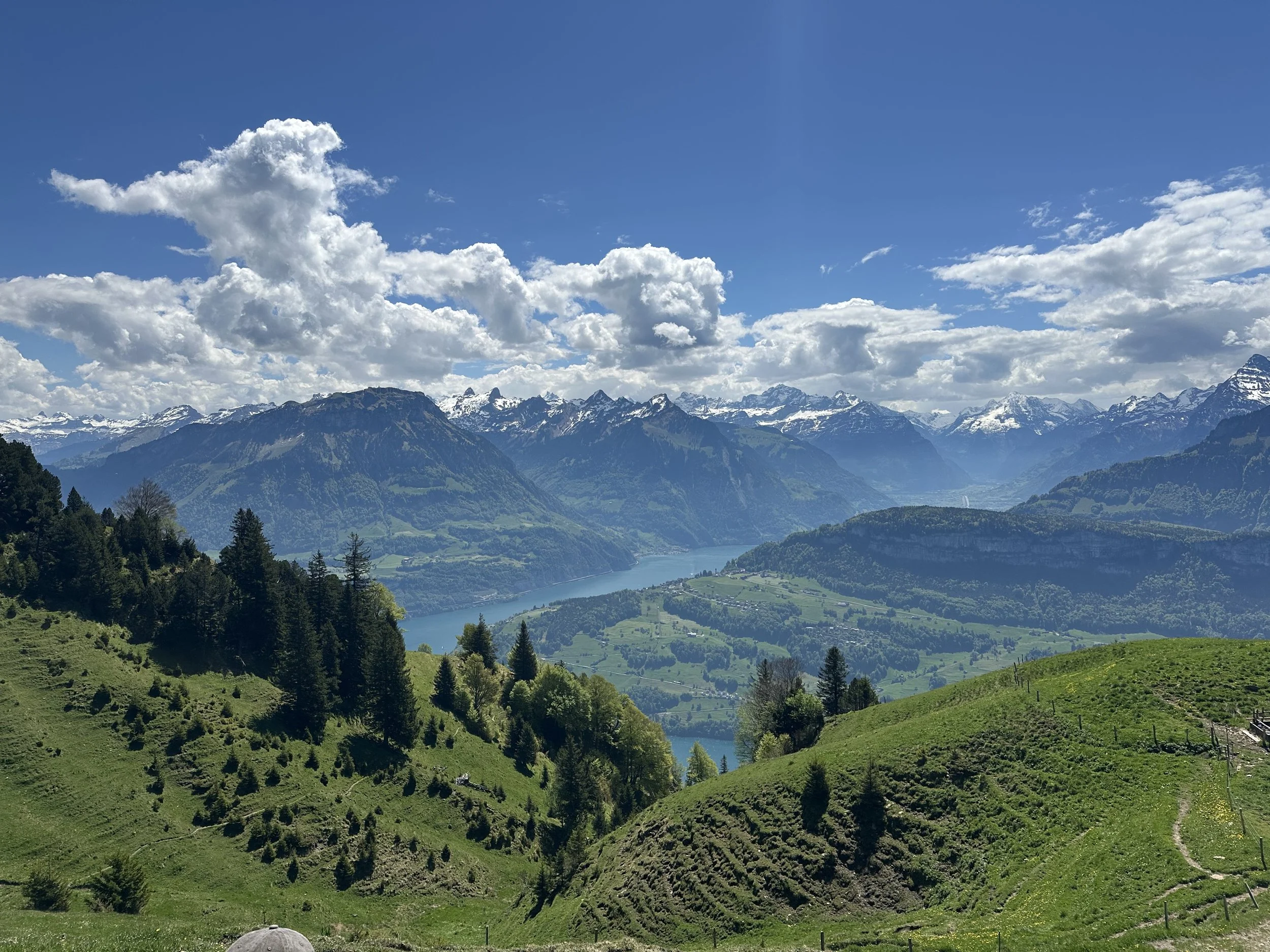
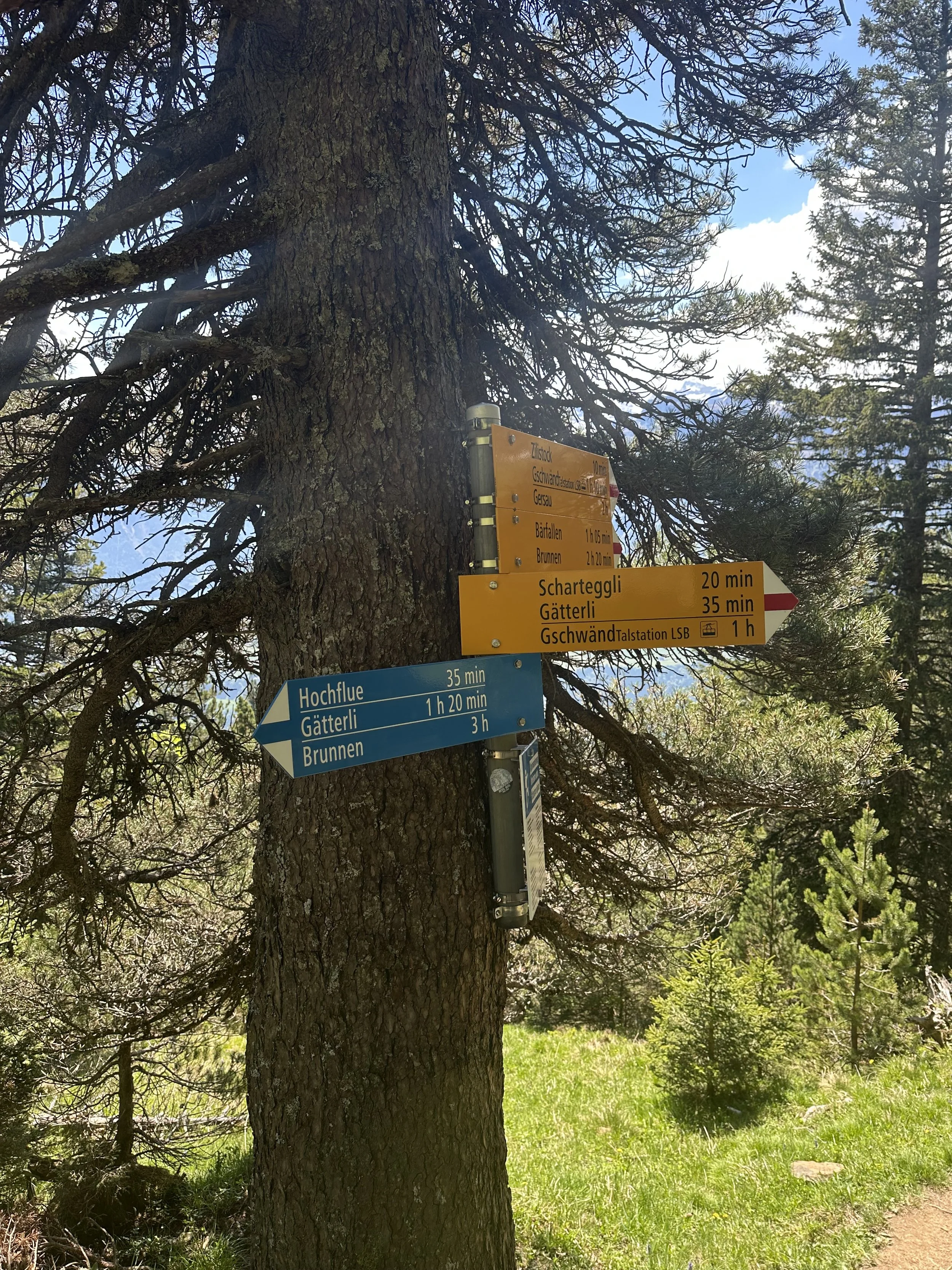
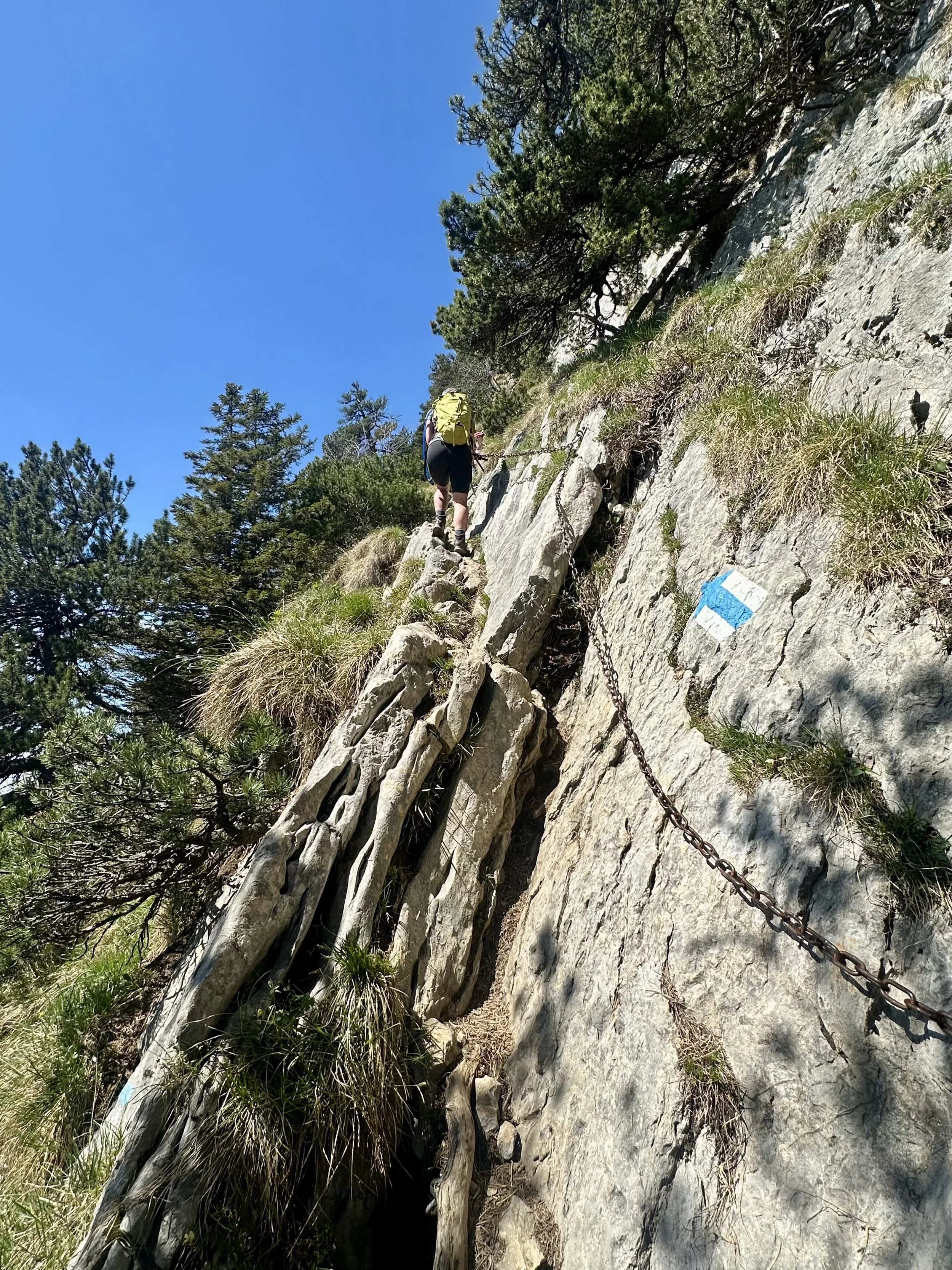
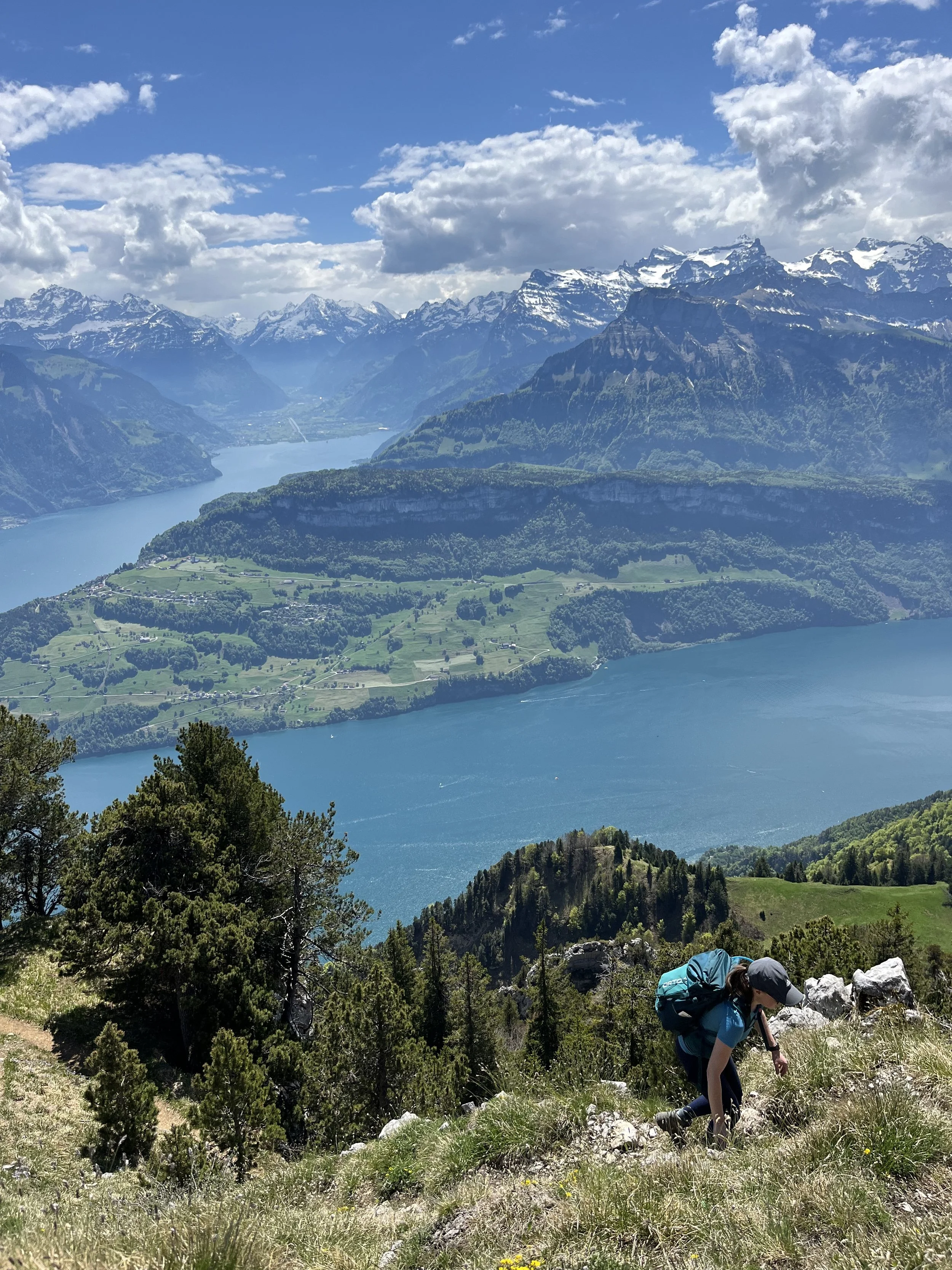
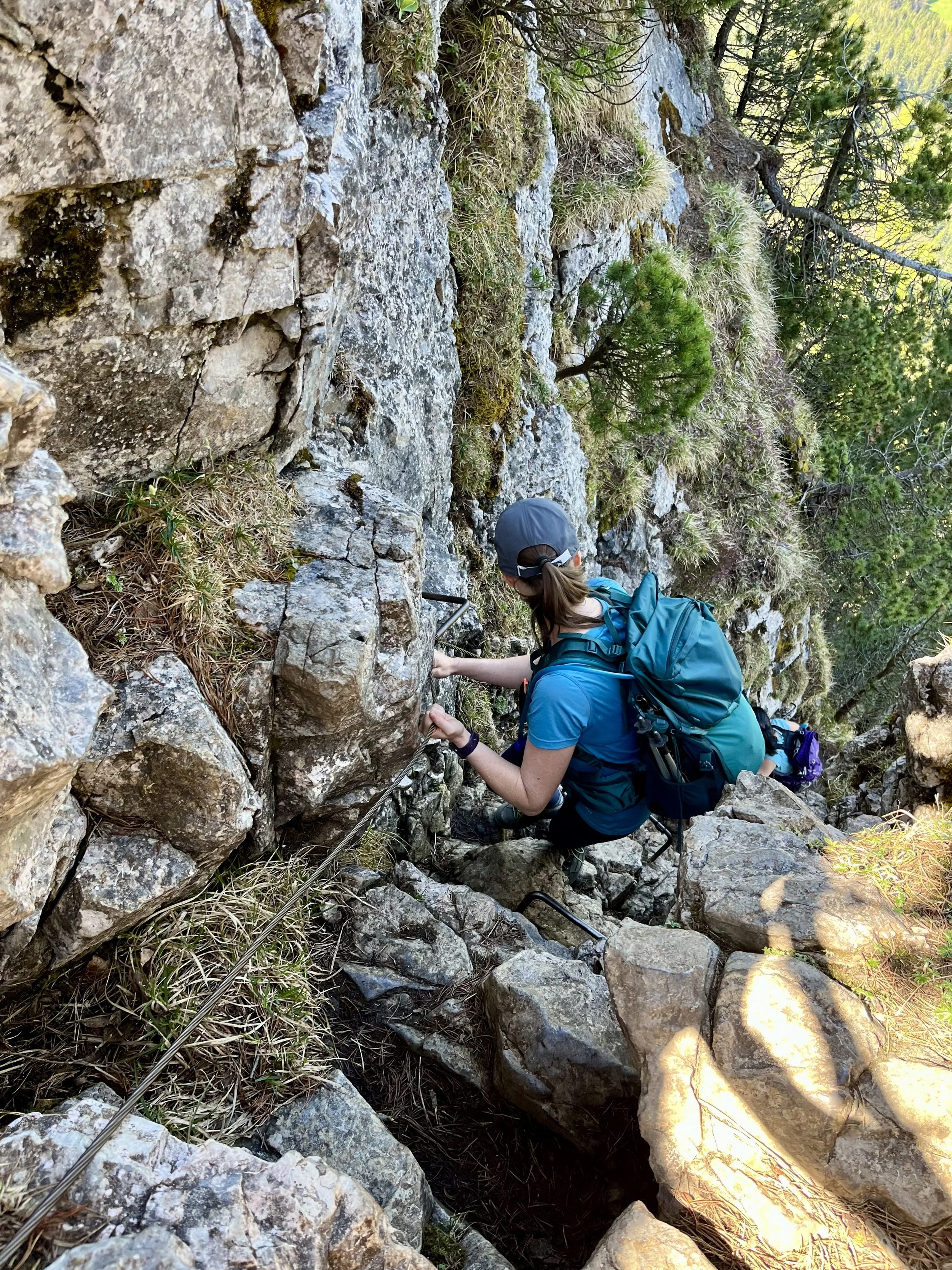
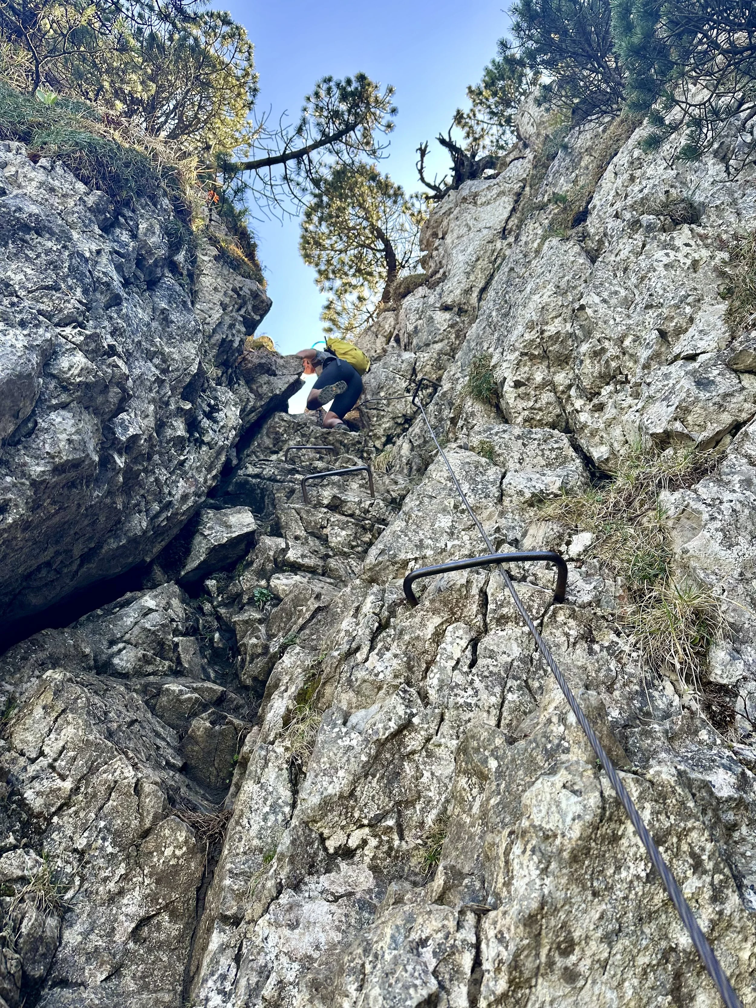
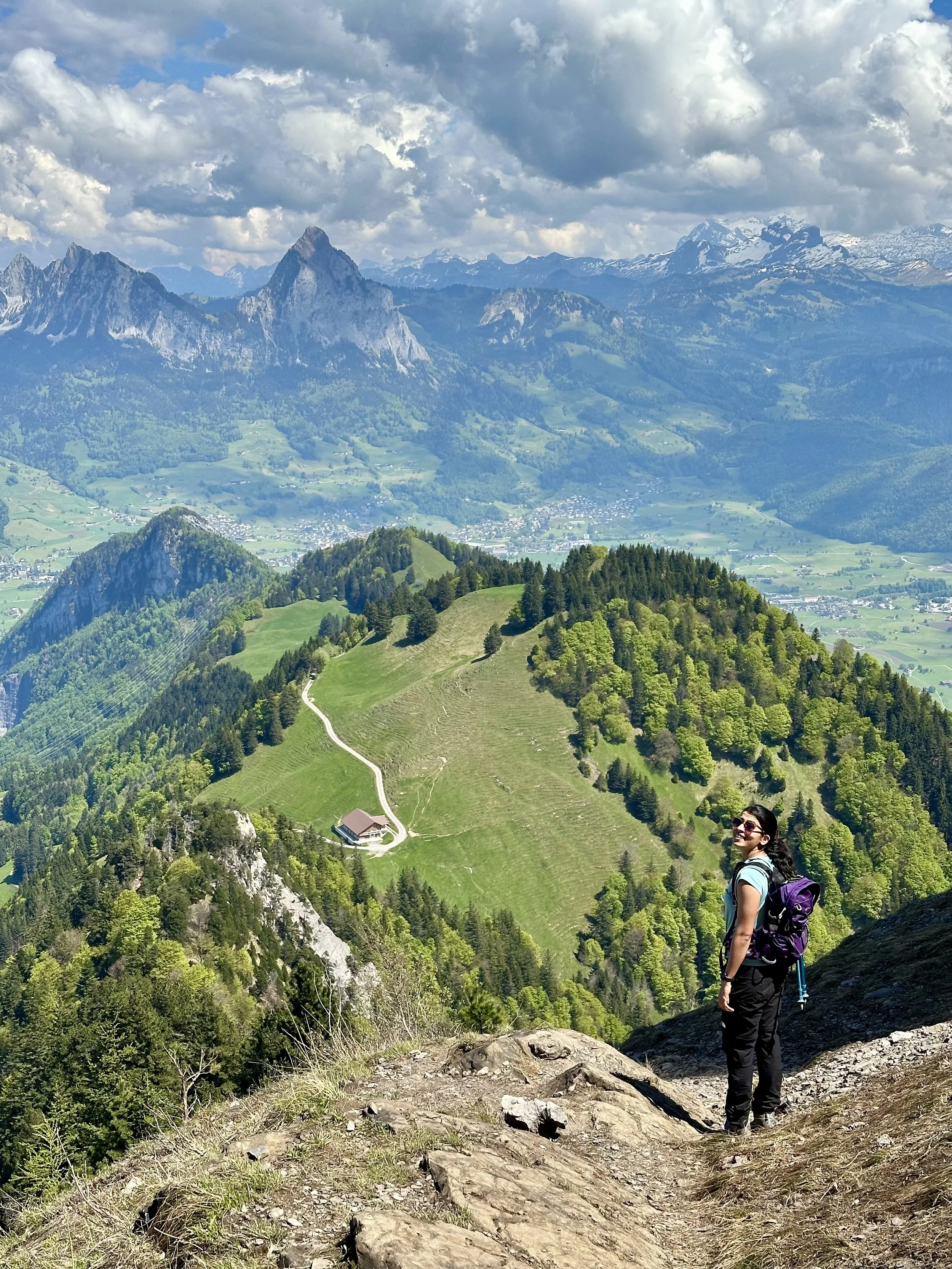
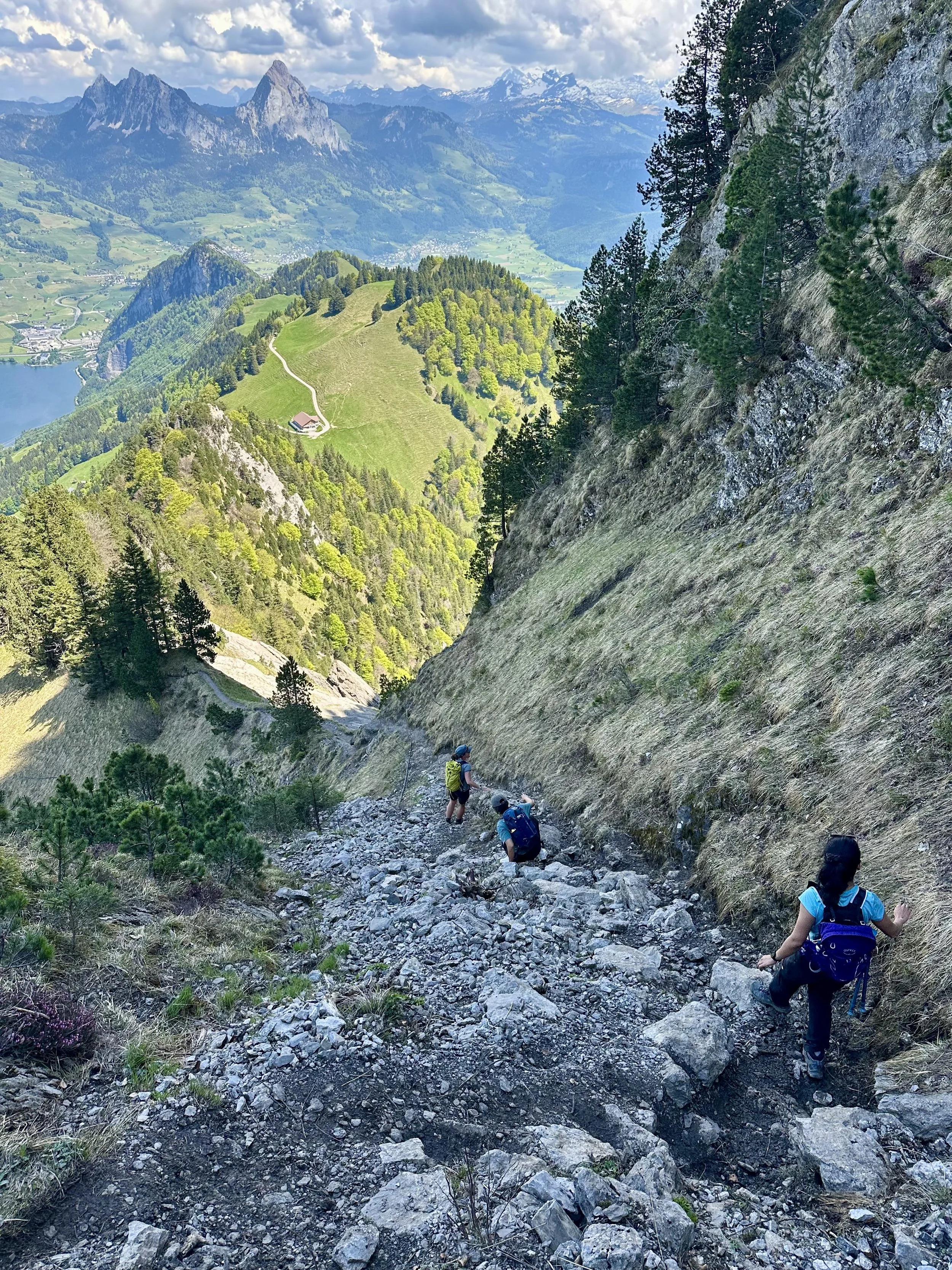
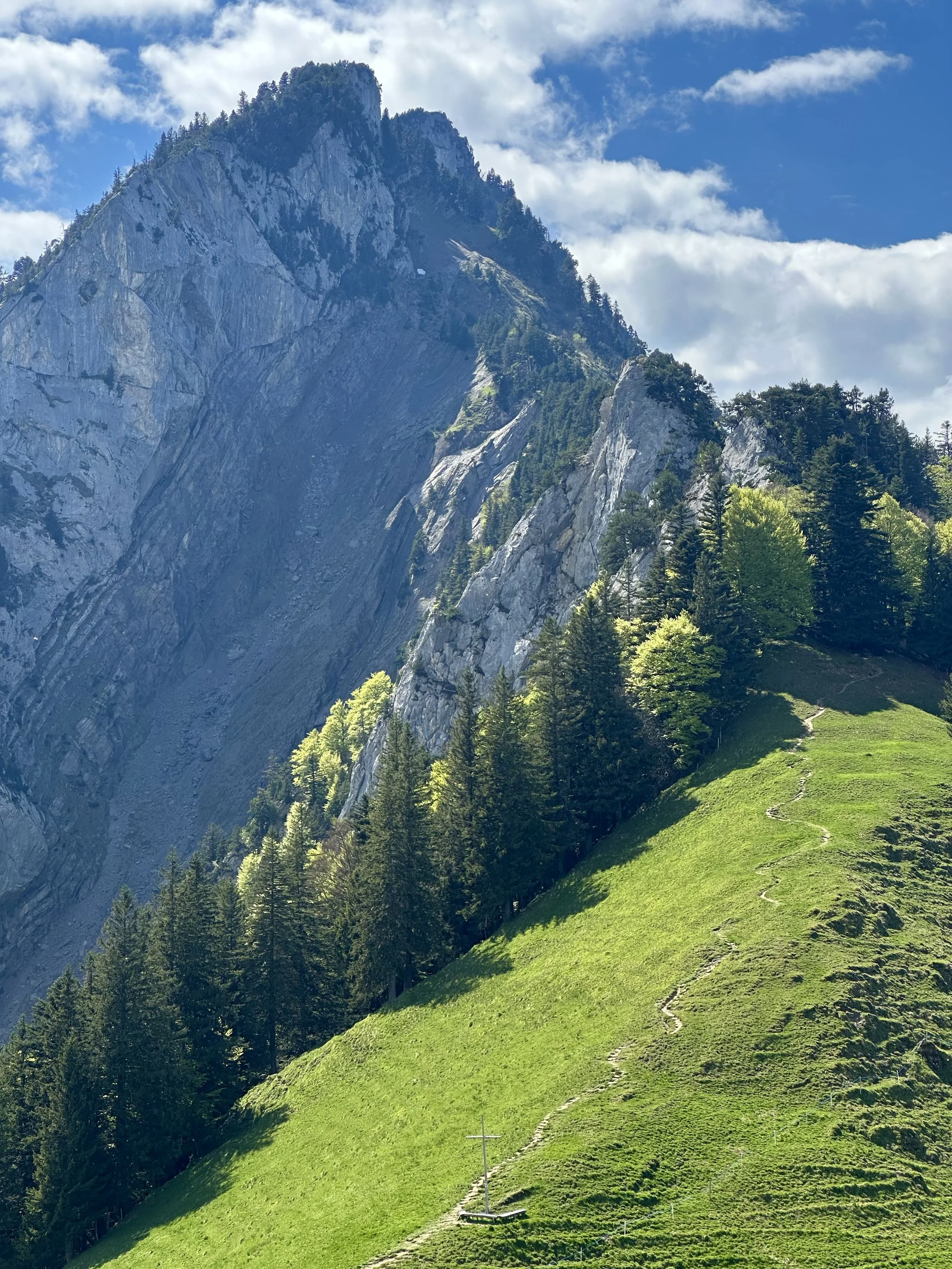
Our route began in Gersau, with a steep but manageable climb through peaceful forest trails. After a short breather at Ochesnelp, the trail continues along a red-white marked path that traverses and climbs steadily up to Zilistock. So far, it’s a solid workout, but nothing too intimidating. From Zilistock, the final push to the Hochflue summit is where things start to feel more serious. The trail shifts into T4 (blue-white) territory, traversing a narrow limestone ridge that’s fully equipped with chains for safety. The summit offers panoramic views over the lakes, the Alps, and seemingly endless ridgelines in every direction.
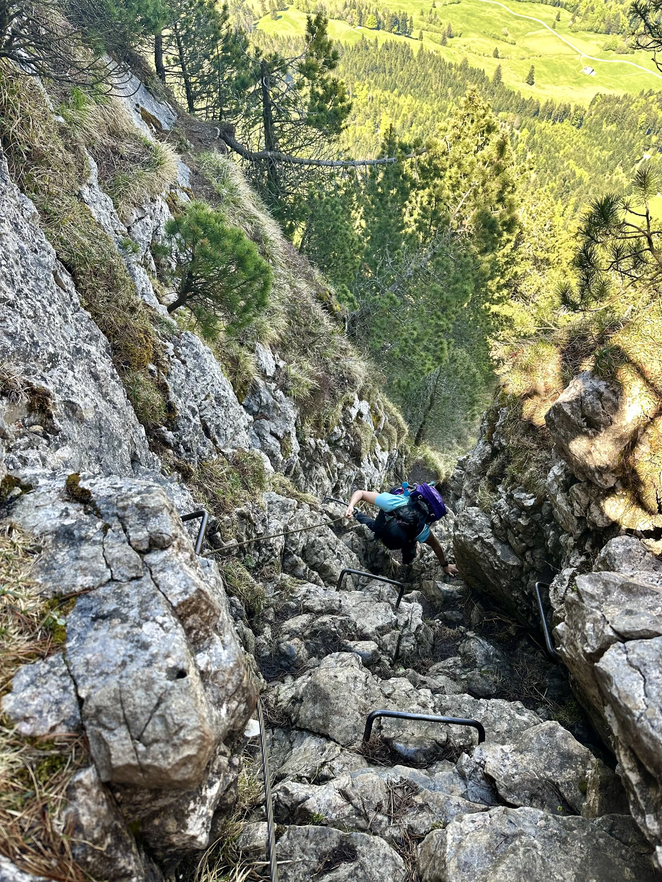
Heading down toward Timpel/Urmiberg Bergstation, the trail (now T5) becomes noticeably more technical and demanding . There are very steep downclimbs, exposed passages, and sections that require both careful attention and solid scrambling skills. It’s a full-body workout, and a bit of a mental one too. That said, I actually found this part of the hike more fun than scary. Sure, there are a few sketchy sections that’ll get your heart rate up, but overall? It was a blast. Definitely plan for a stop at the resturant next to the gondola - it’s got a great terrace and very good french fries (the ideal post-hike snack).
One thing that surprised me: for such a technical hike, the summit and key sections of the trail were busy. On a sunny Sunday, expect crowds - not just at the top, but also along the ridge and descent. You’ll likely need to pause at tight points to let others pass. It's not what I’d expect from a T4/T5 route, but the stunning views and relative ease of access clearly draw a lot of ambitious hikers. Anyway, I loved it!
Start: Gersau
End: Urmiberg Bergstation (with gondola down to Brunnen)
Basic Route: Gersau - Ochsenalp - Zilistock - Hochflue - Spitz - Egg - Timpel (Urmiberg)
9km, 1300m ascent/ 650m descent. T4+