Hüfihütte: Uri
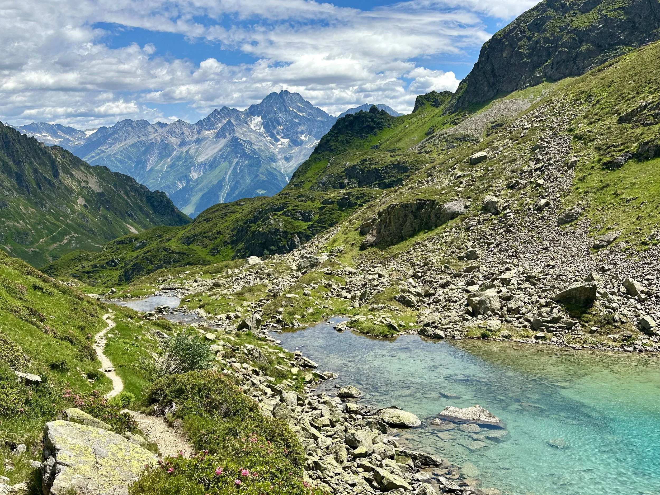
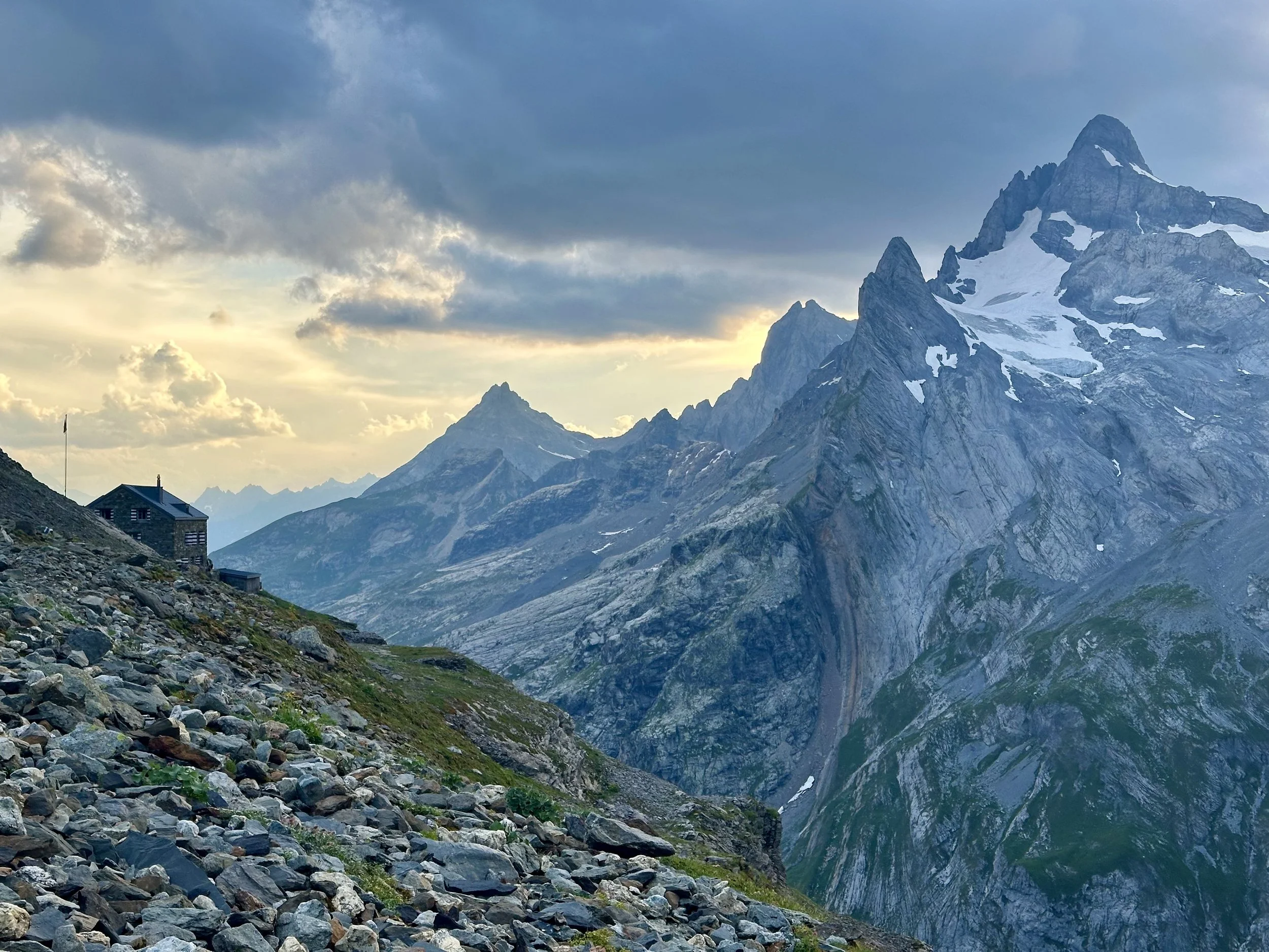
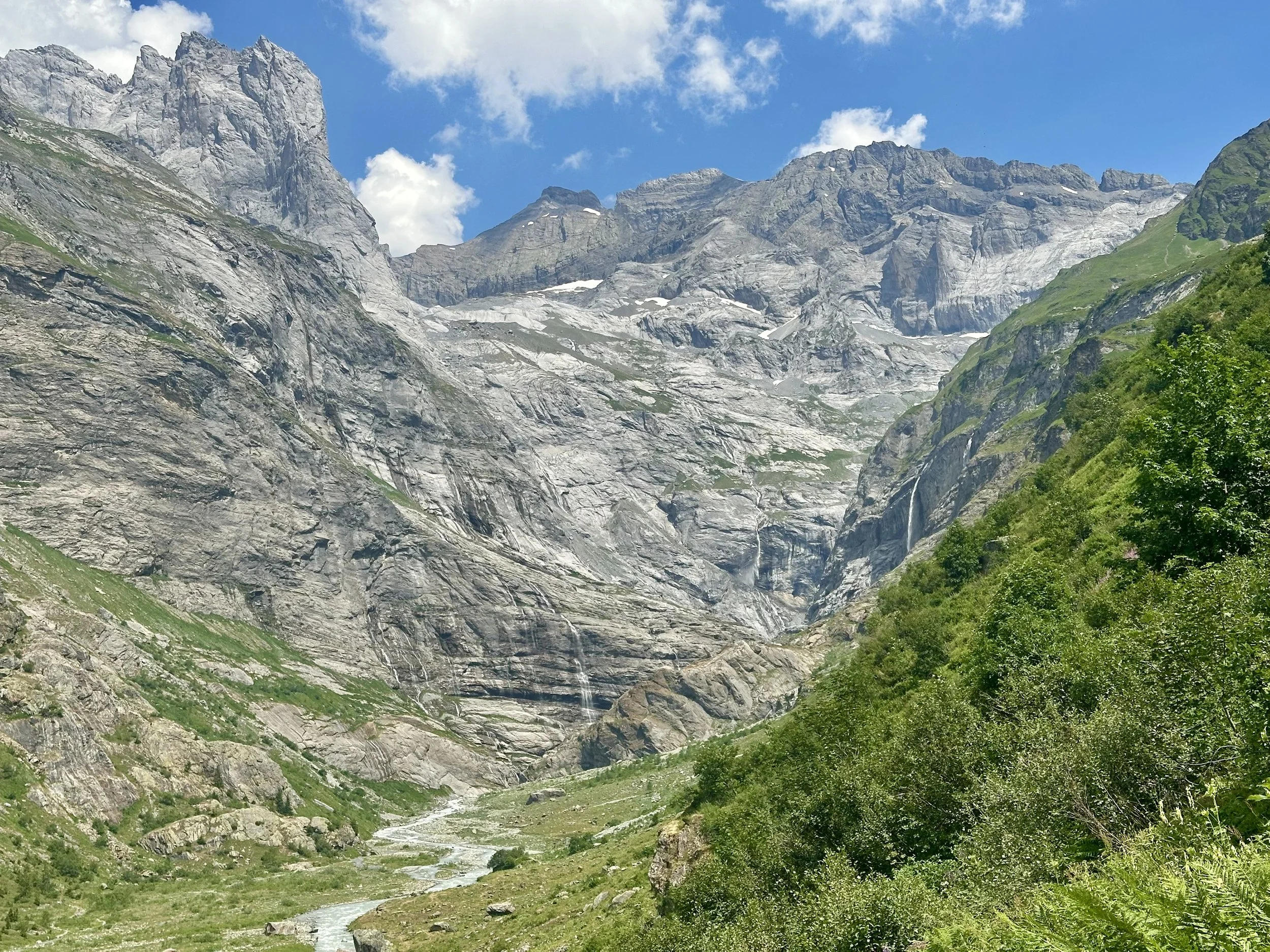
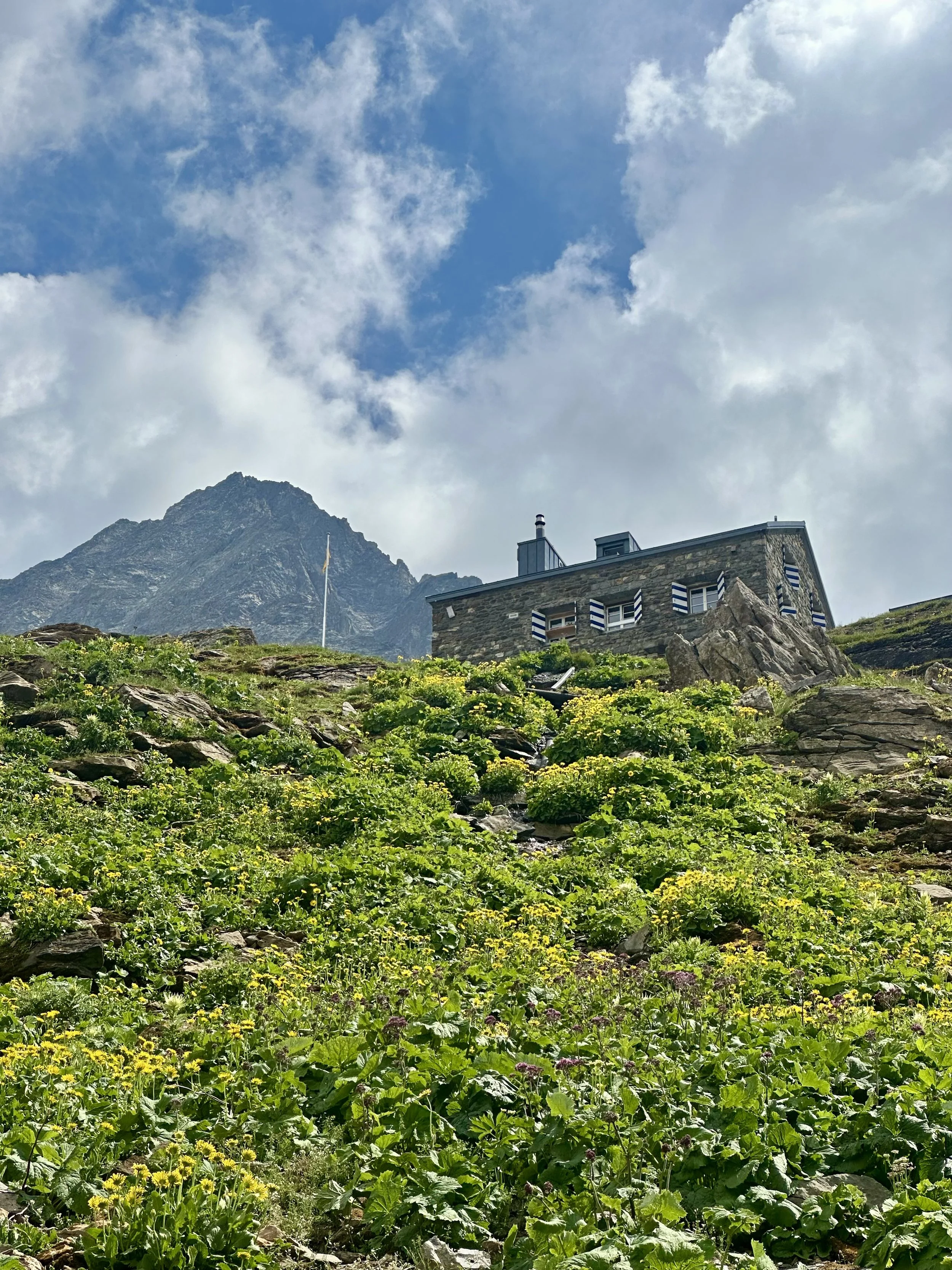
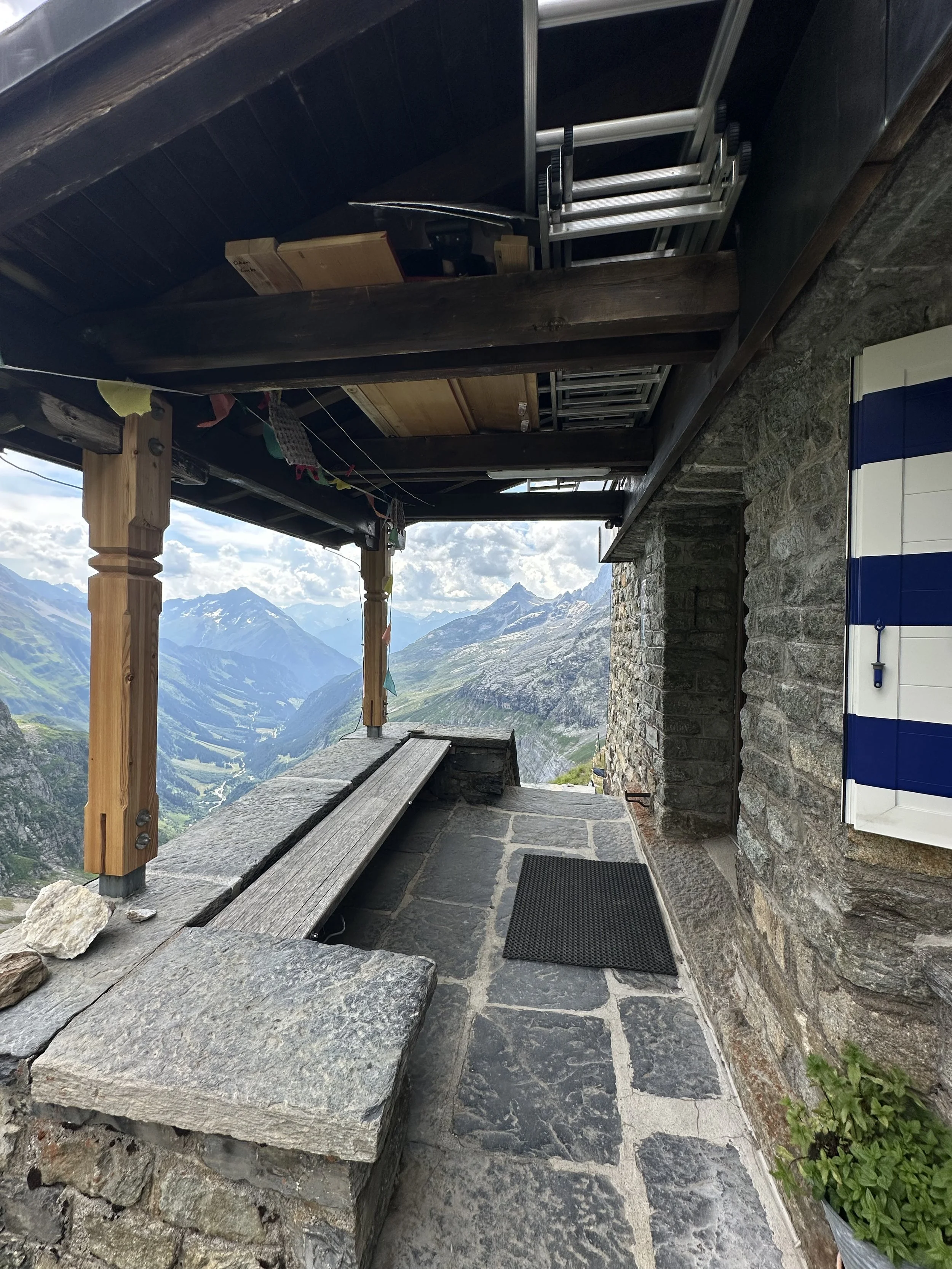
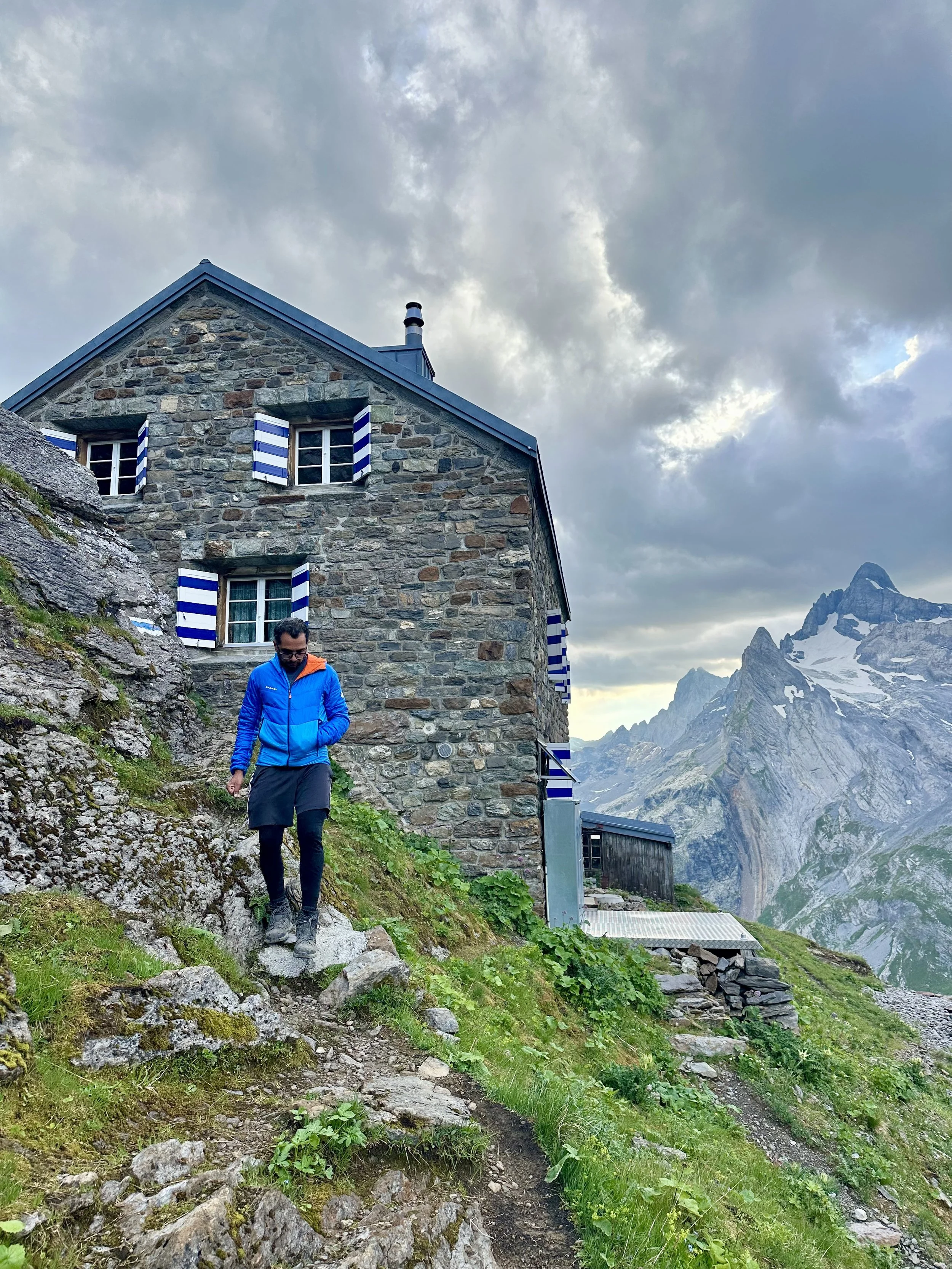
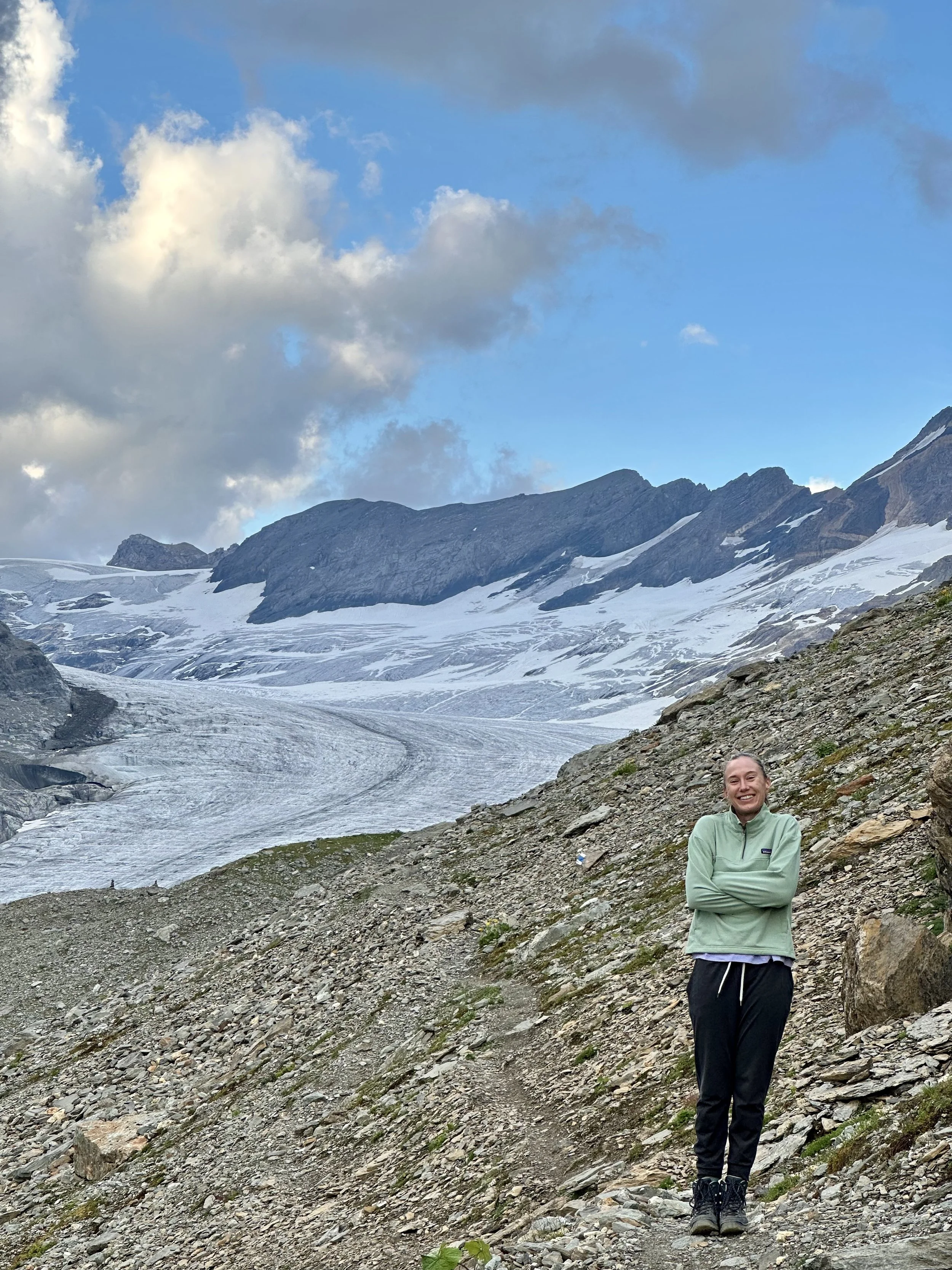
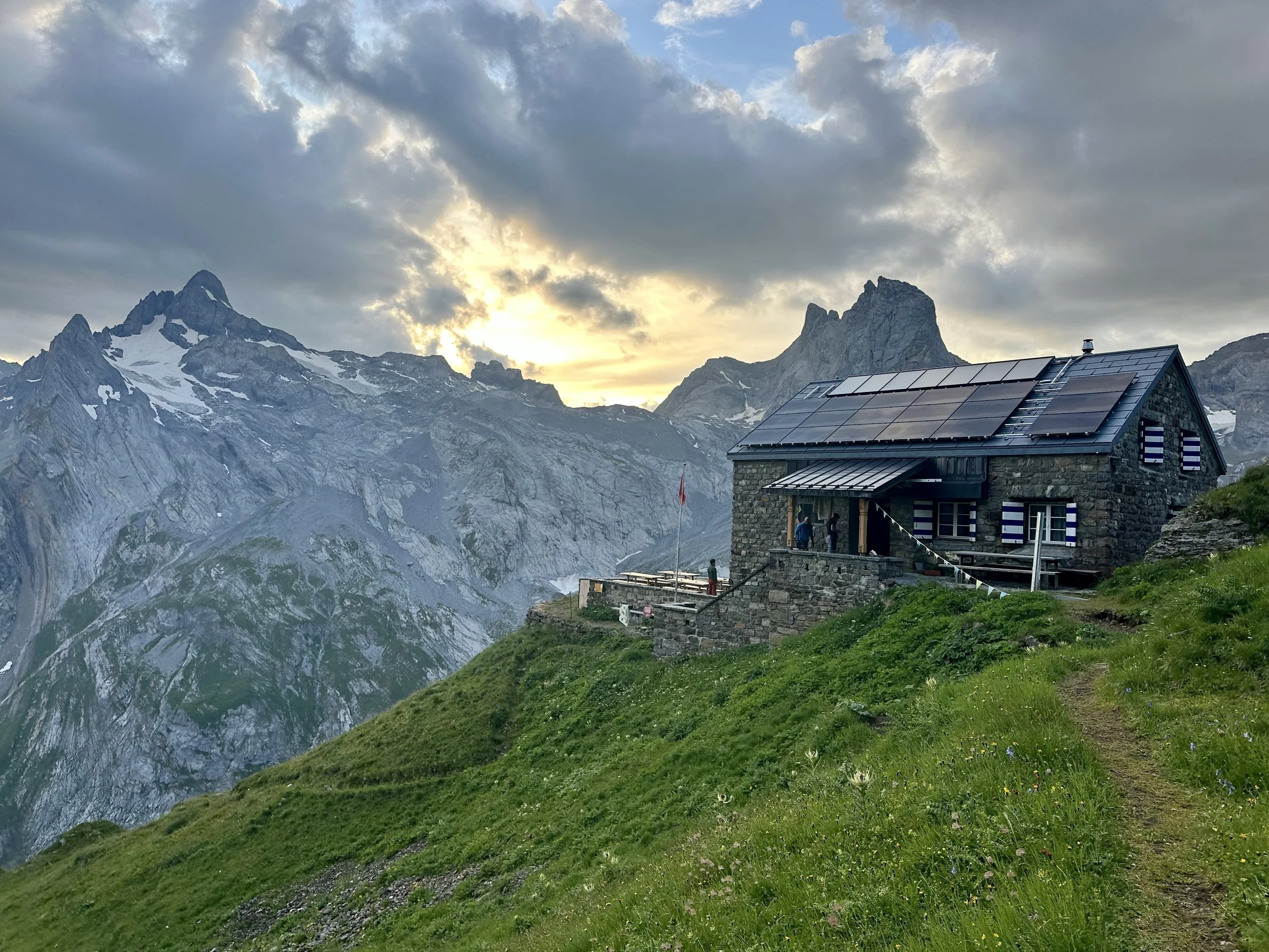
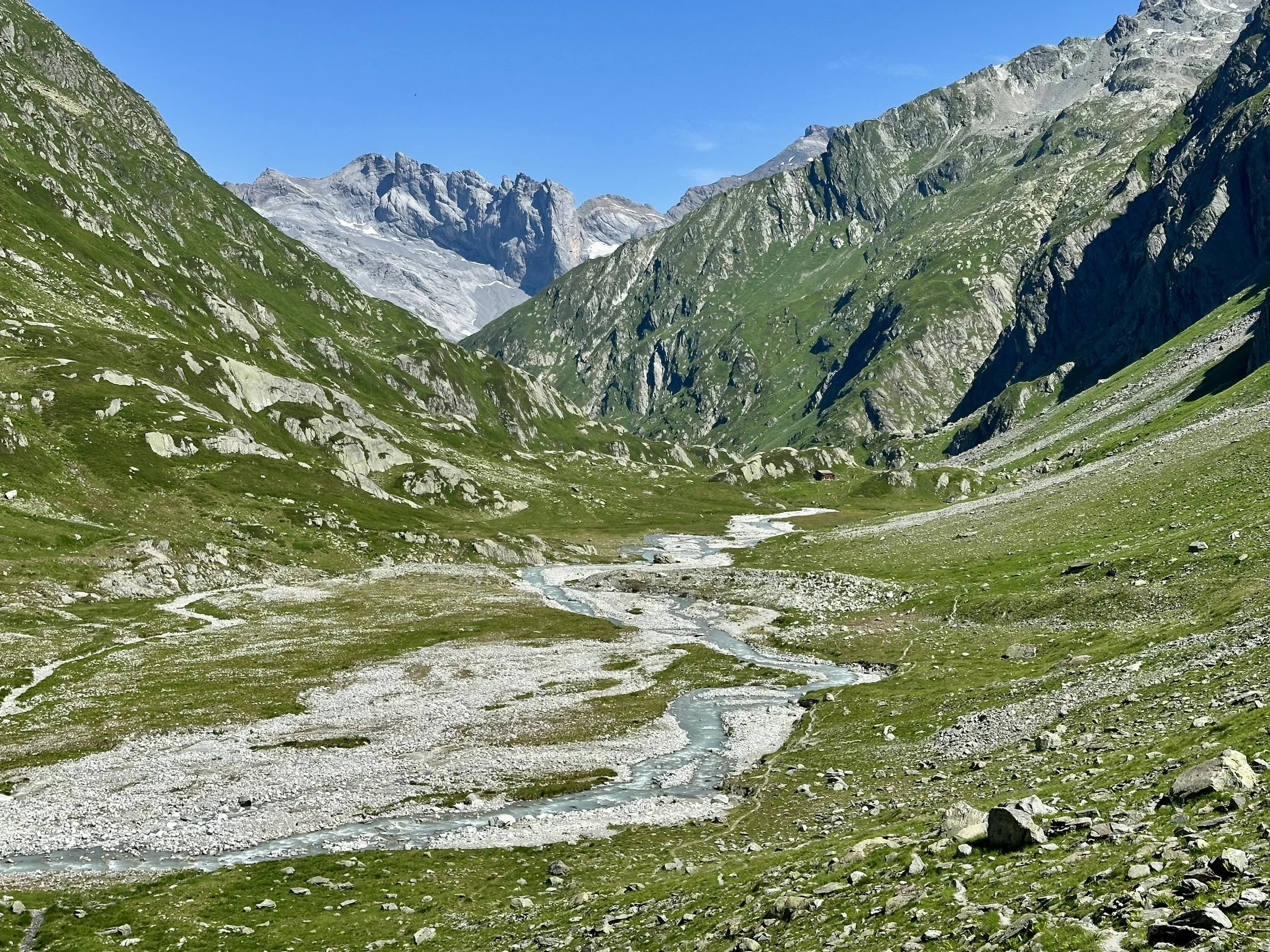
Tucked away at the very back of the Maderanertal in canton Uri, the Hüfihütte is the kind of mountain hut that makes you earn its rewards. The classic approach from Bristen is long - no gondolas, no shortcuts, no cell service, just a steep 1500 meters of hiking in a wild, unspoiled valley of thundering waterfalls. It may not be the highest mountain hut of them all, but by the time you get there, the modern world feels very far away. The hut itself is classic and cosy ("klein aber fein," as they put it), with 32 beds spread across four dorm rooms. And, for the icing on the cake: it’s situated right next to the impressive Hüfi glacier.
Disclaimer: Our trail on day 2 was a demanding and technical hike, with tough terrain, exposed sections, and (secured) scrambling. If you don’t have strong hiking experience, use an alternate trail.
Day 1: Bristen - Hüfihütte
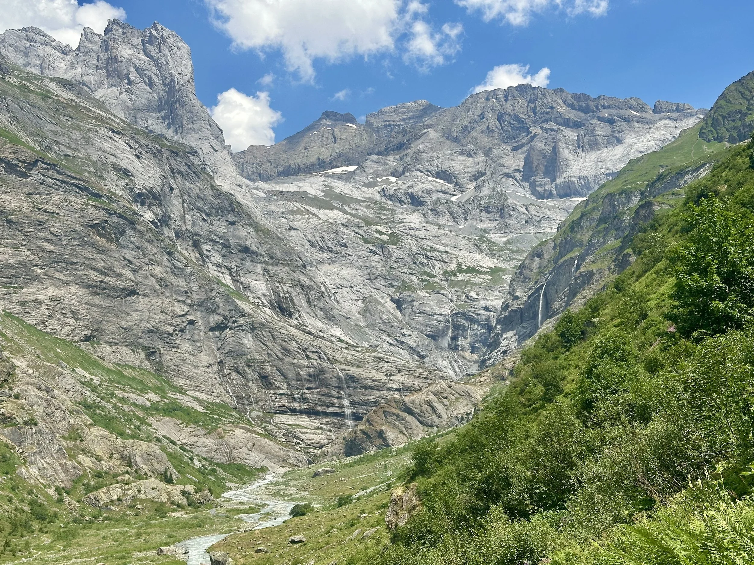
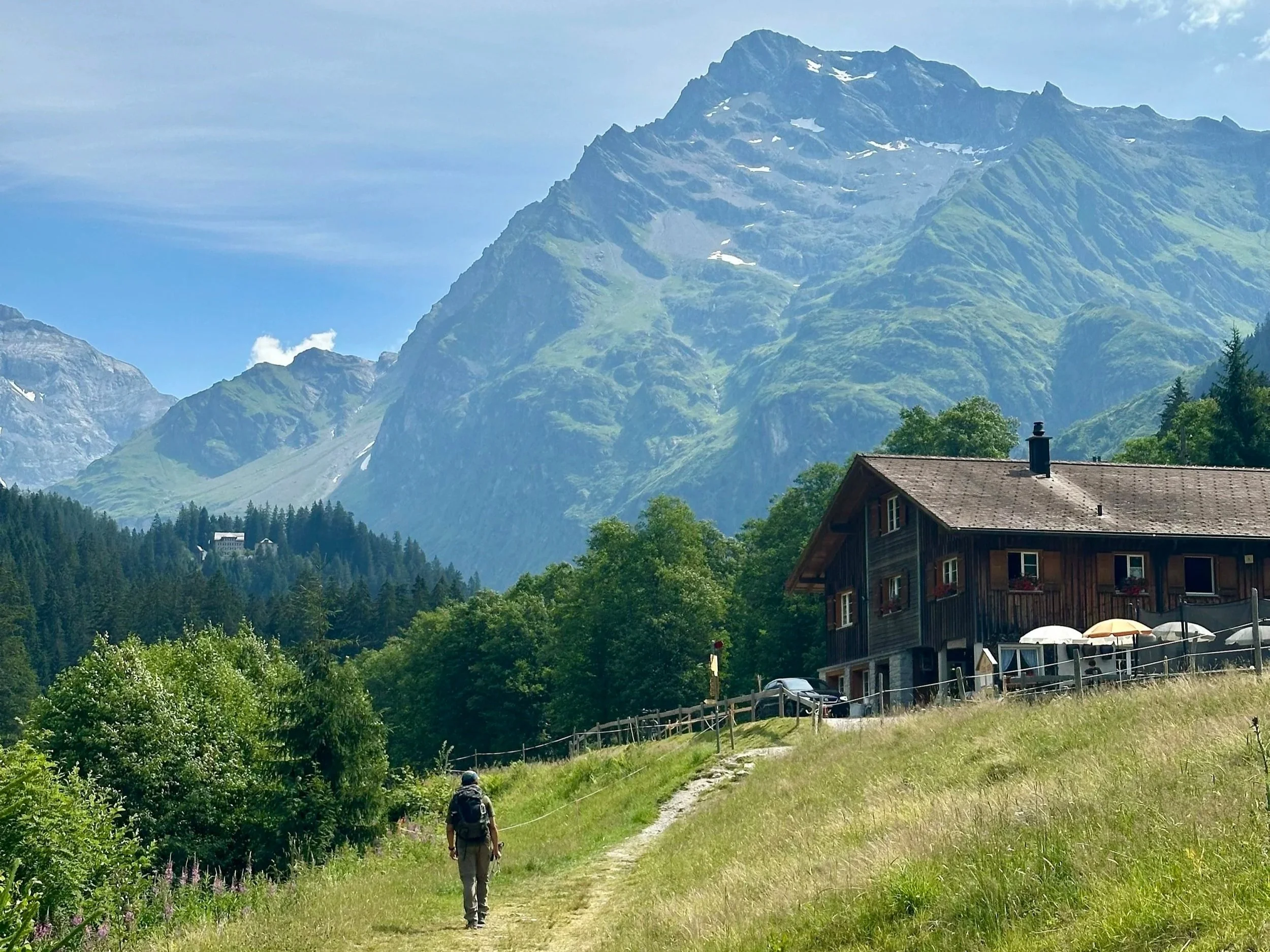
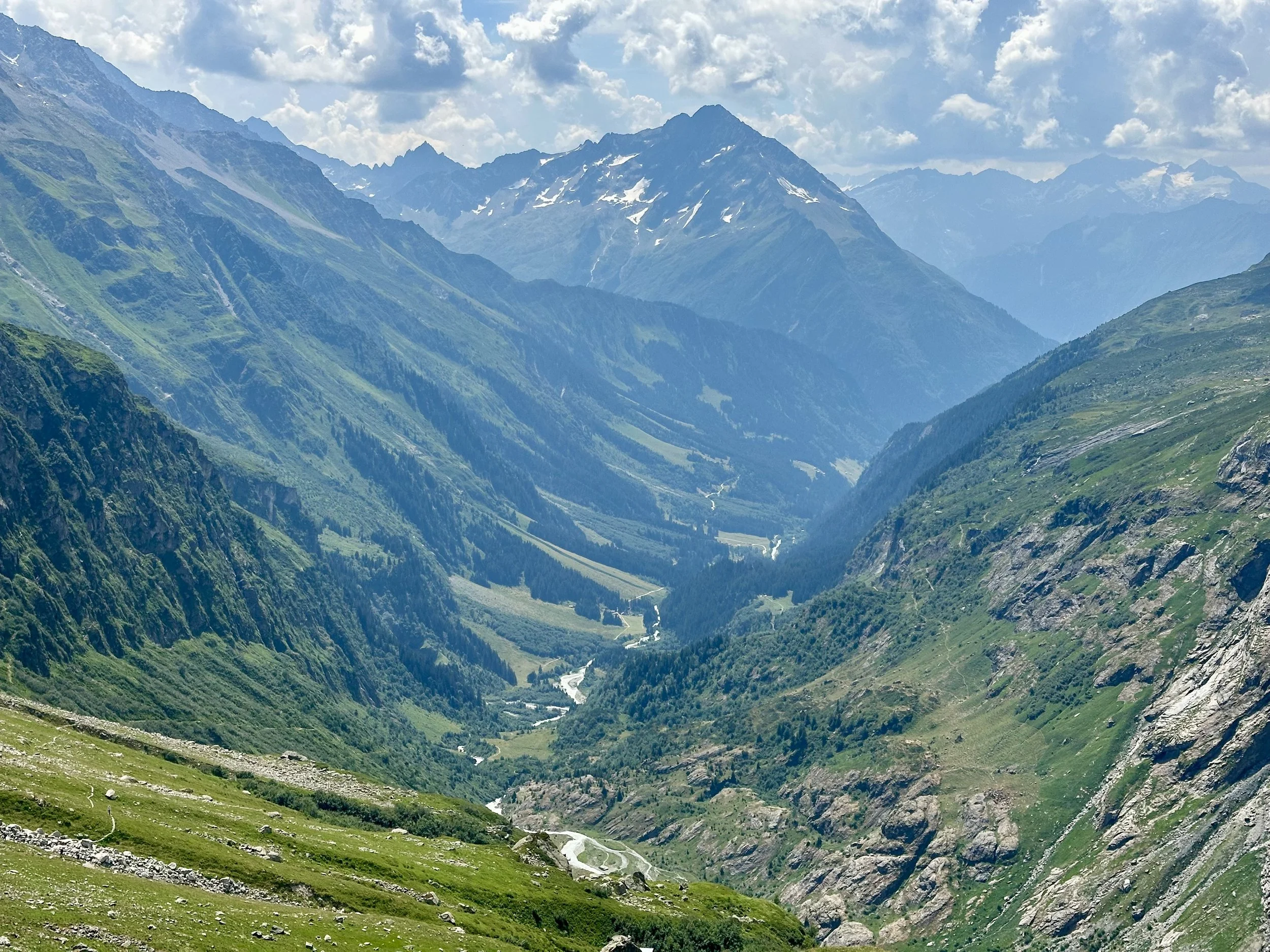
The Maderanertal is one of the prettiest valleys - if not the prettiest valley - in all of Switzerland. I will take every opportunity I can to hike through it. So while there are a few different options for an ascent to the hut, I think that this one is the best.
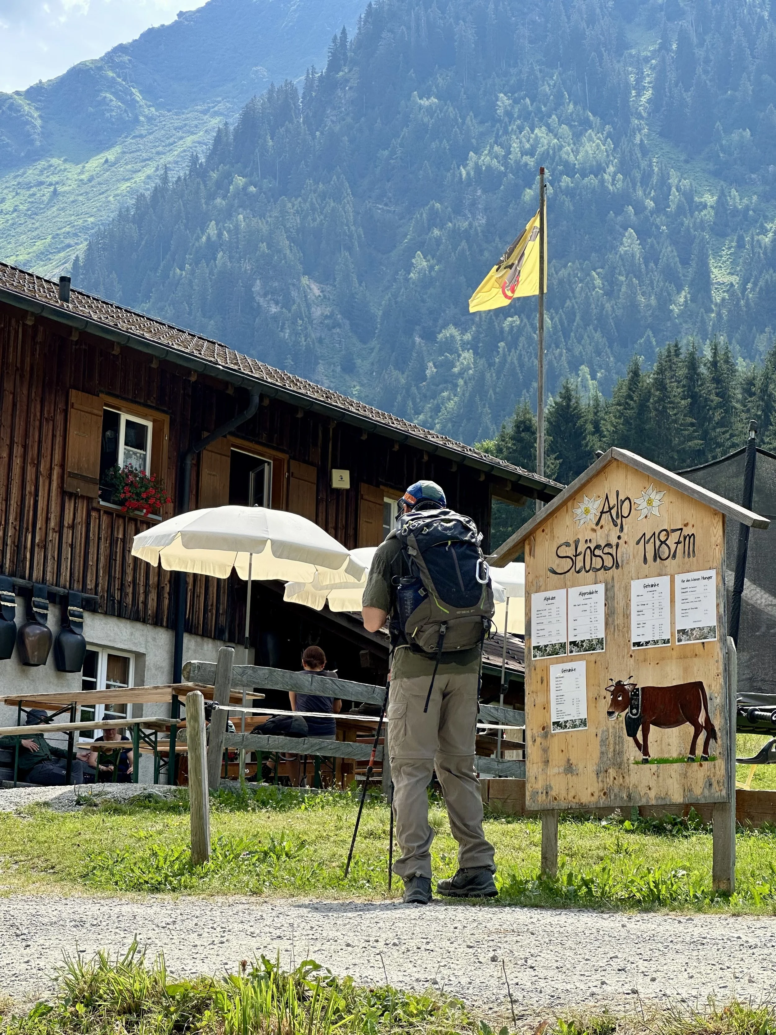
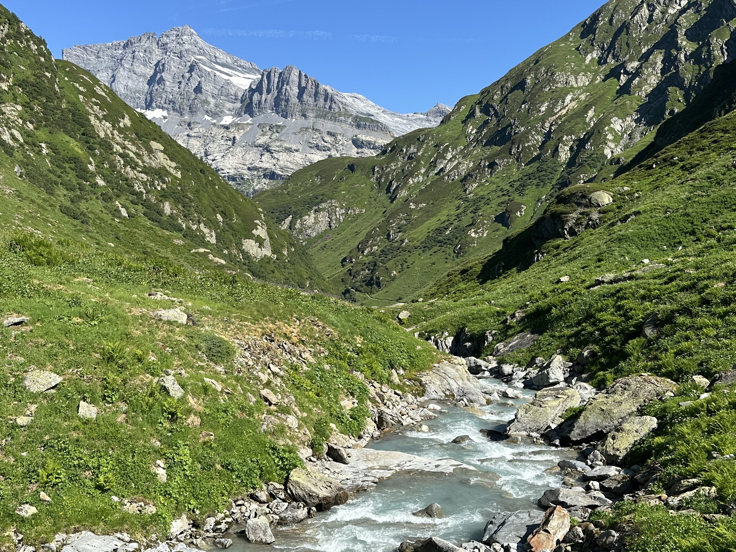
We started in Bristen, at the valley station of the Golzern cable car, where a wide, easy trail follows the Chärstelenbach - a beautiful turquoise river - deep into the valley. There is a little hut at the beginning where you could stop for a snack, but I suggest waiting until you get to Alp Stössi. It’s an alpine dairy farm that sells fresh yogurt, and I'm not exaggerating when I say it's the best yogurt you'll ever have. Get the citron. You are welcome.
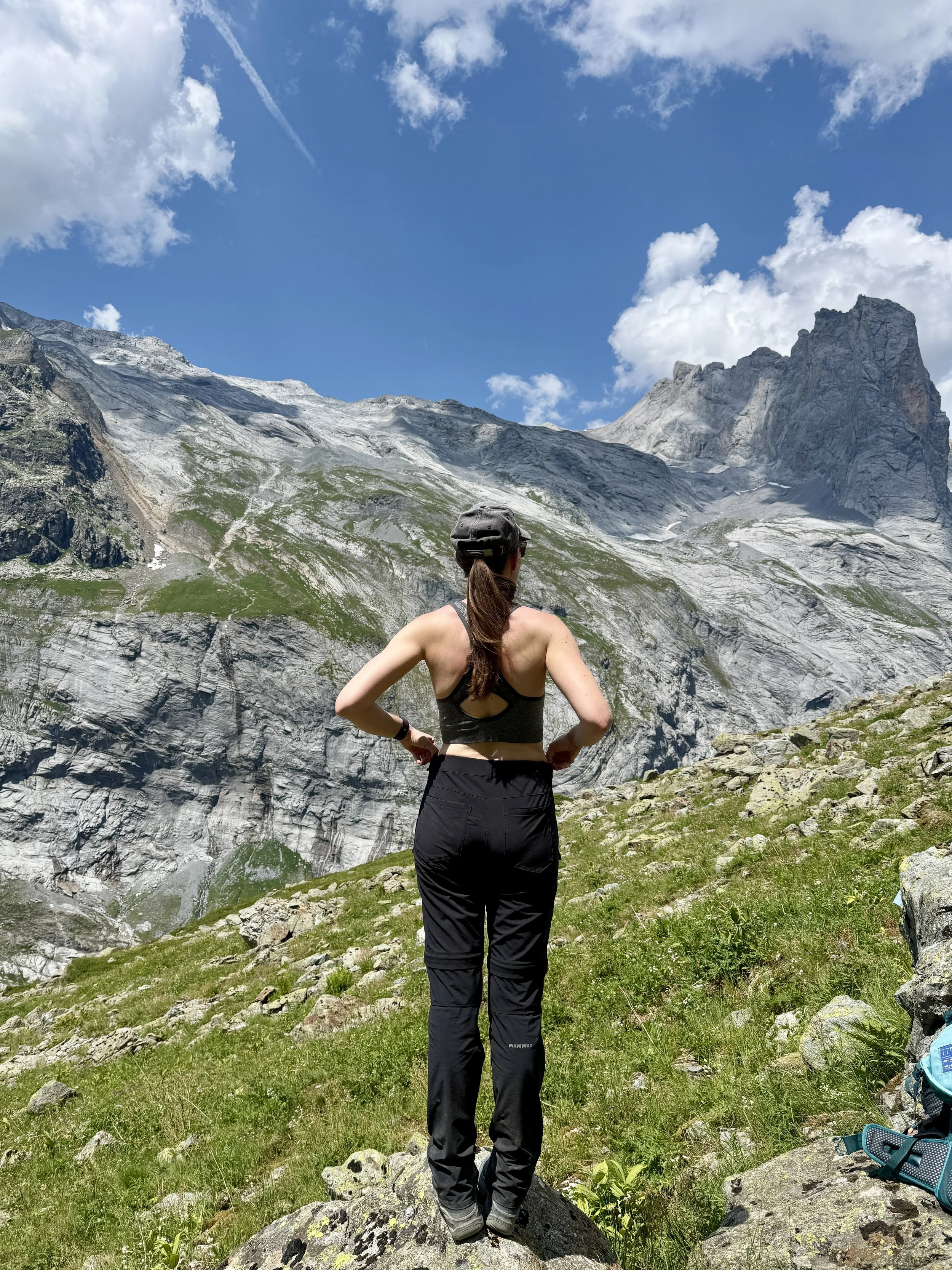
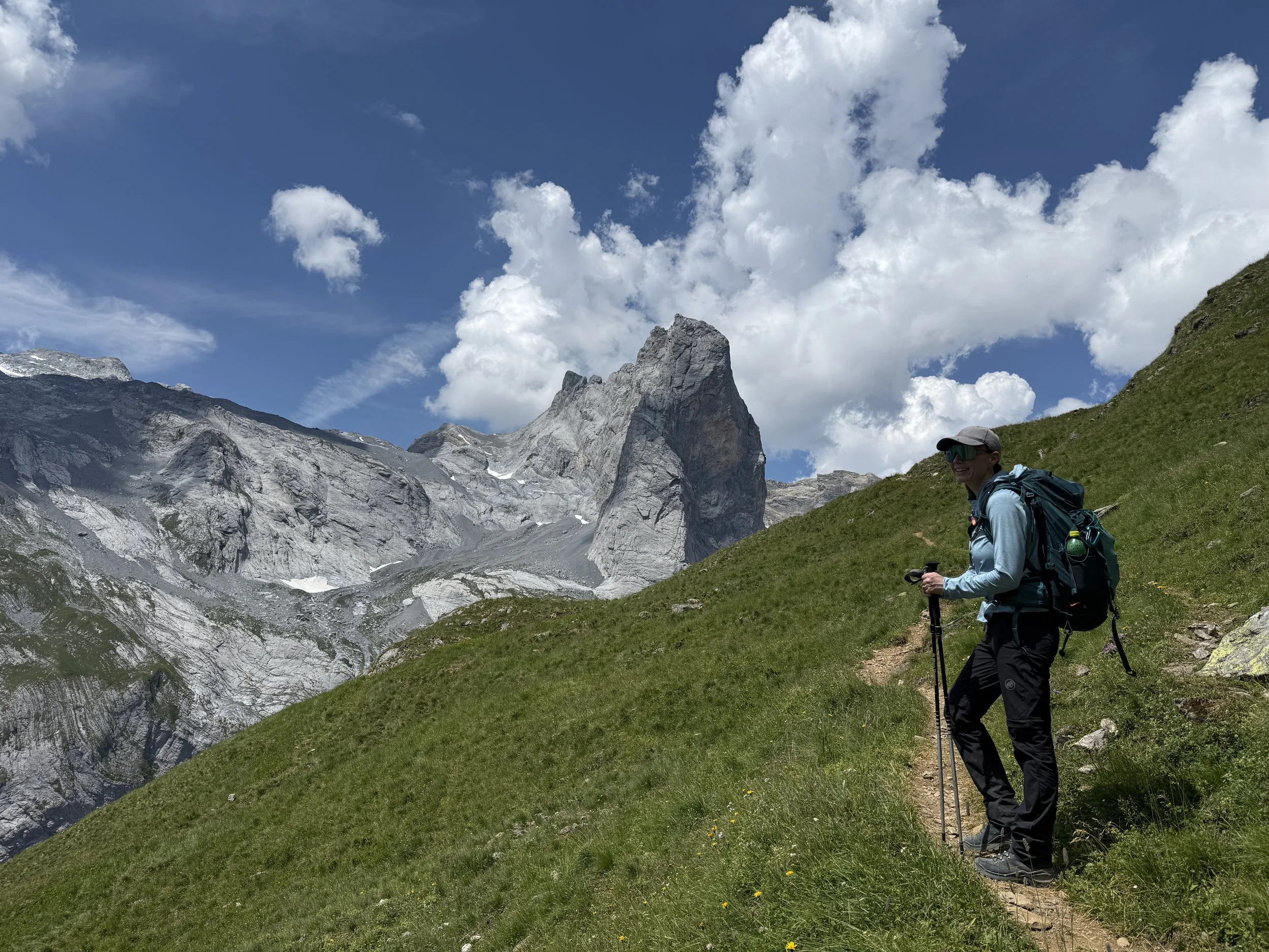
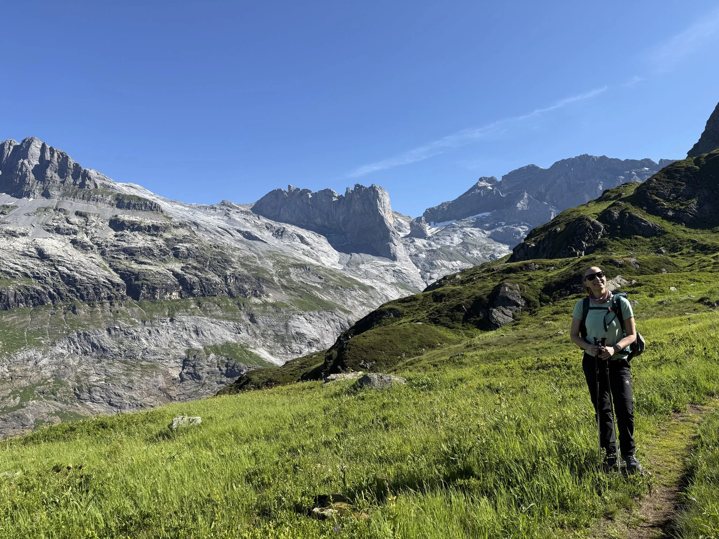
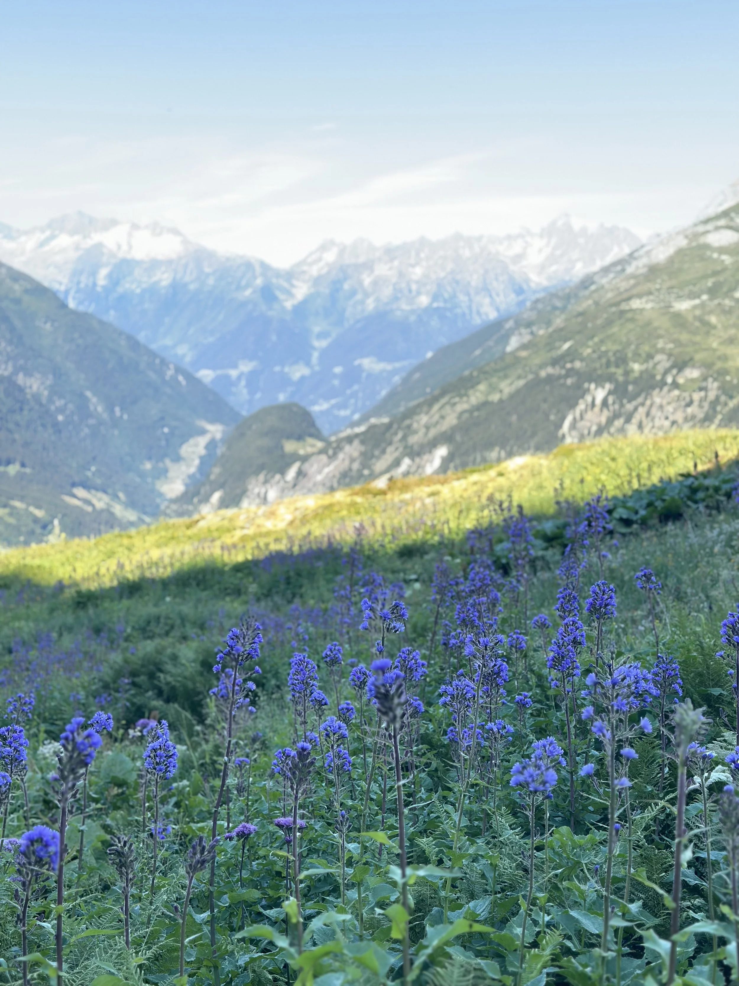
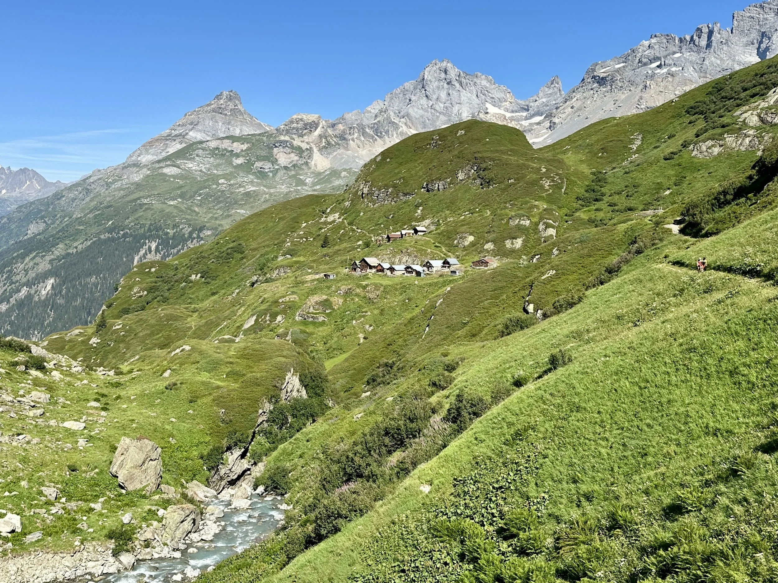
The first half of the day was a gentle warm-up. But things really kick into gear after you cross the river on a (slightly creaky) suspension bridge. From there, the hike turns steep and relentless, gaining almost 1,000 meters in the last five kilometers alone. And, we did this in the middle of the second heatwave of the summer. It was early July and incredibly hot, even high up in the mountains, and between the gradient and the heat, we were drenched in sweat. It’s absolutely stunning, though. The trail climbs through lush green slopes, getting higher and higher above the valley, often crossing stream after stream and passing little waterfalls (a few of the more exposed spots are secured with chains). Eventually the greenery thinned out, the terrain turned rocky and wild, and we zigzagged up the final meadows to the hut.
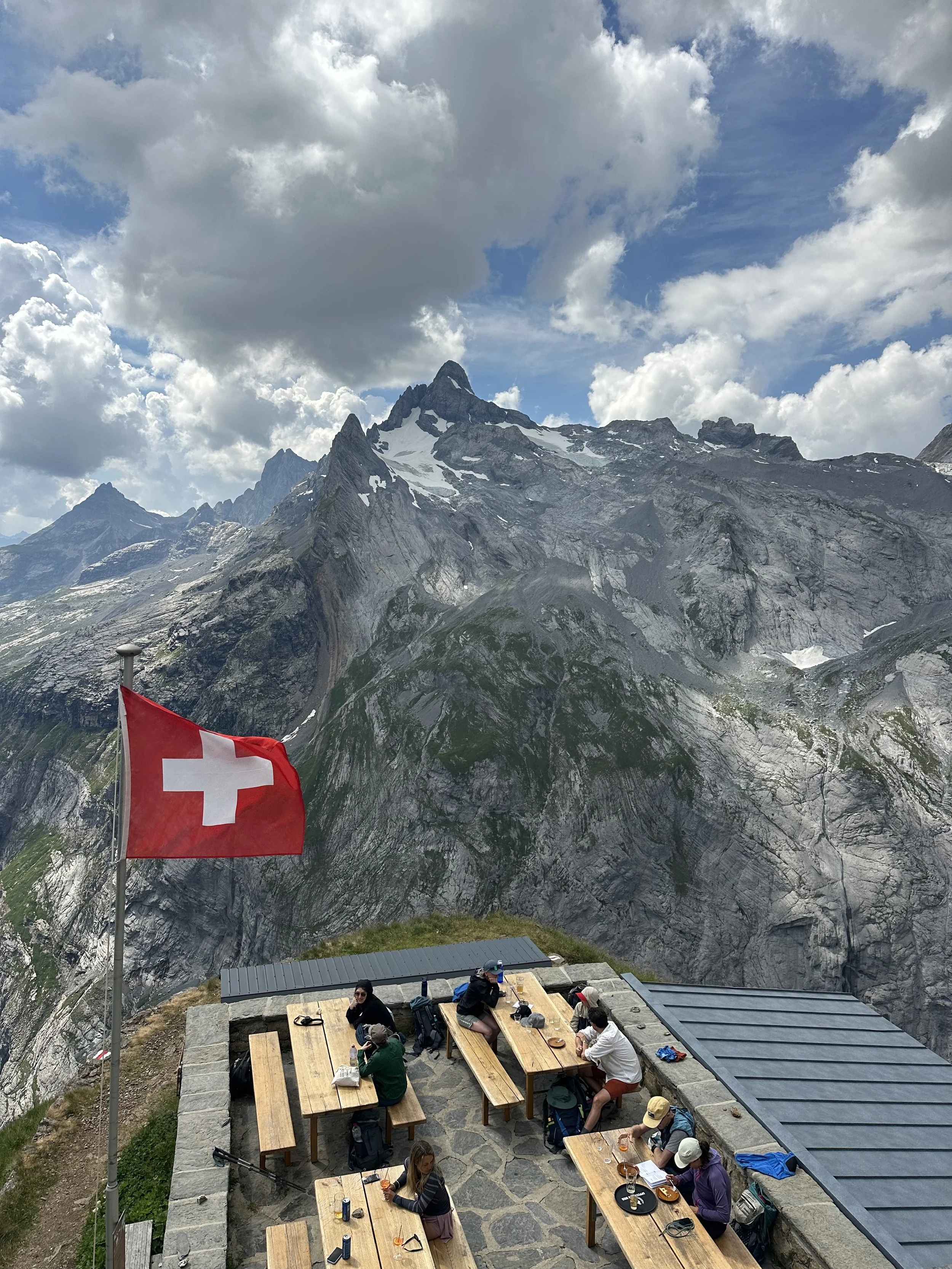
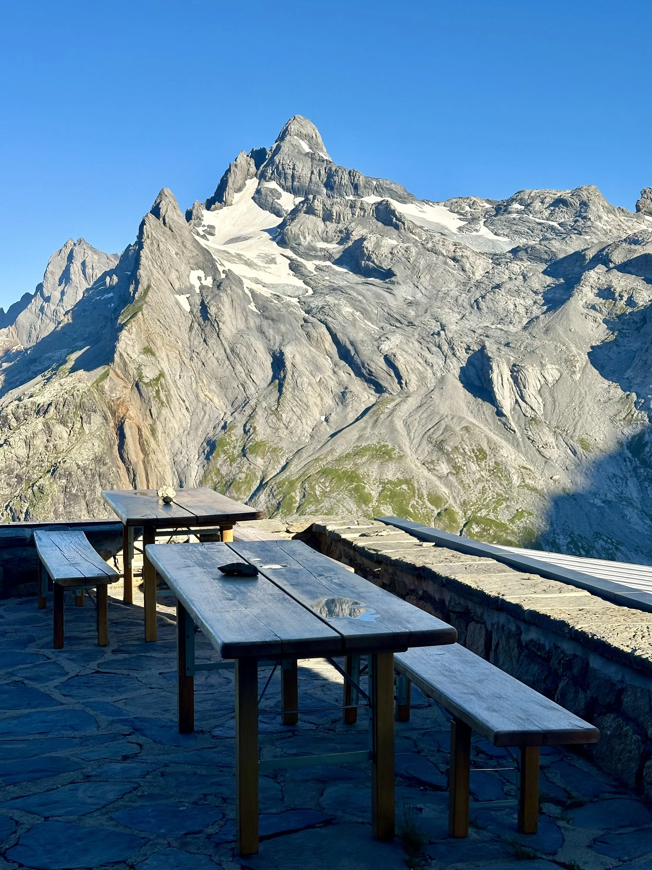
I really enjoyed staying here. The location was spectacular, the two ladies running the hut were warm and welcoming, and there's just something extra special about a hut that everyone has to work a bit to get to. It's bonding! After dinner, we took a short walk to the edge of the Hüfi glacier that’s right behind the hut (and I mean, how often can you say that!), and then went to bed early in preparation for Day 2.
A few things to note:
I lost cell service when we arrived in Bristen, and didn't have any reception the whole weekend. Download your maps and enjoy being offline.
Your stay includes 1L of drinking water or marching tea per person. The tap water isn't potable, so anything beyond that you'll need to buy.

Day 2: Hüfihütte - Caischavedra (Disentis)
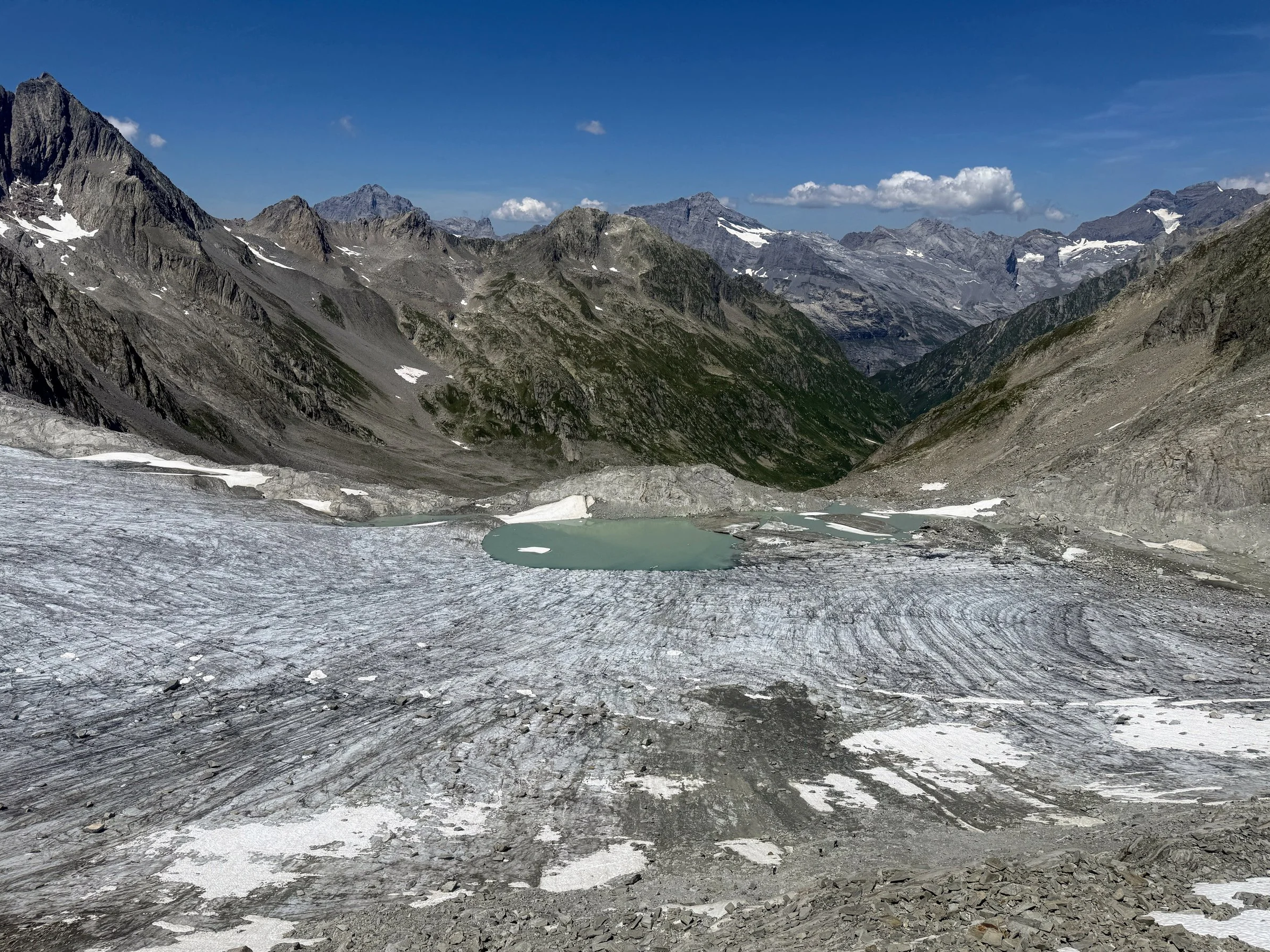
Today was a beast. I knew it was going to be a long, hard day, and it was even longer and harder than I imagined.
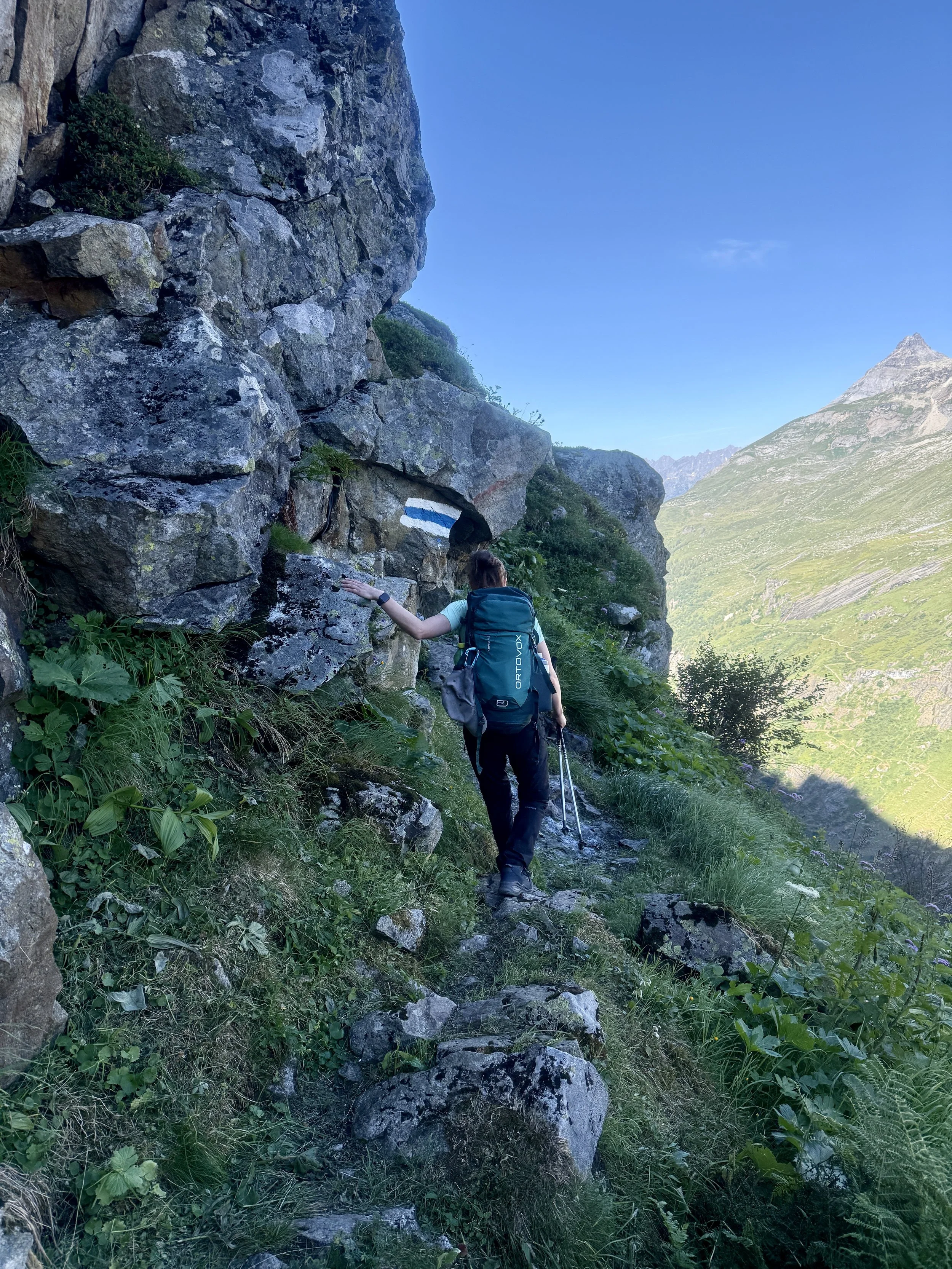
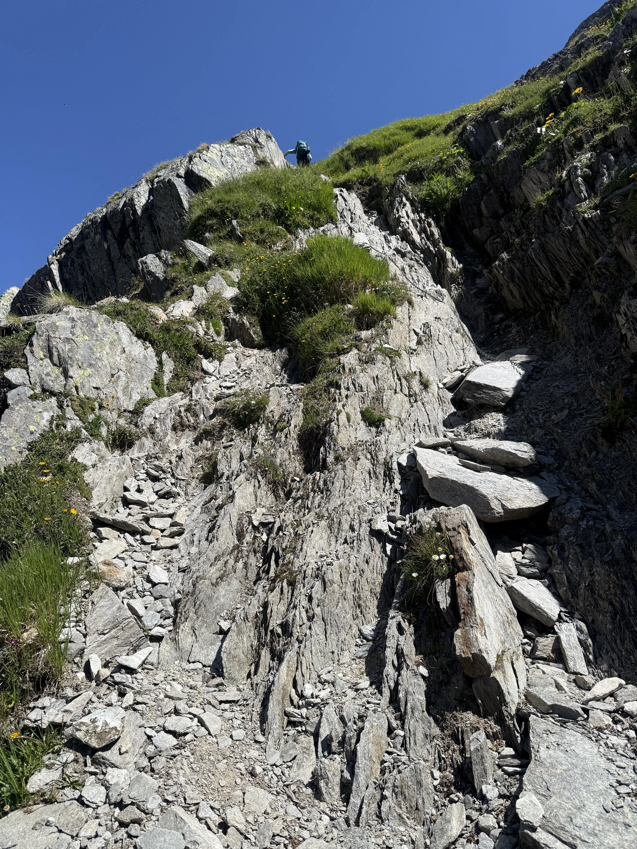
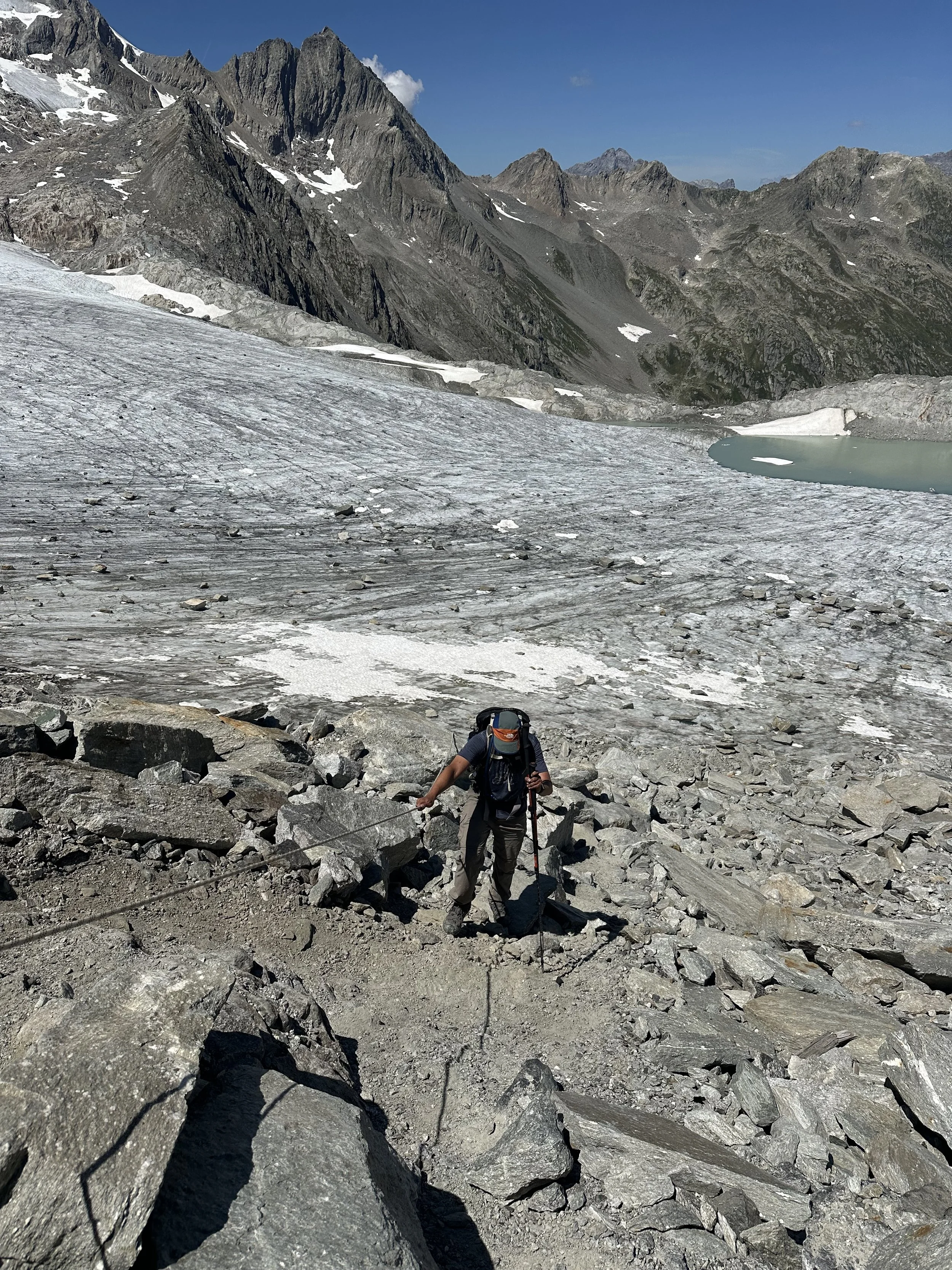
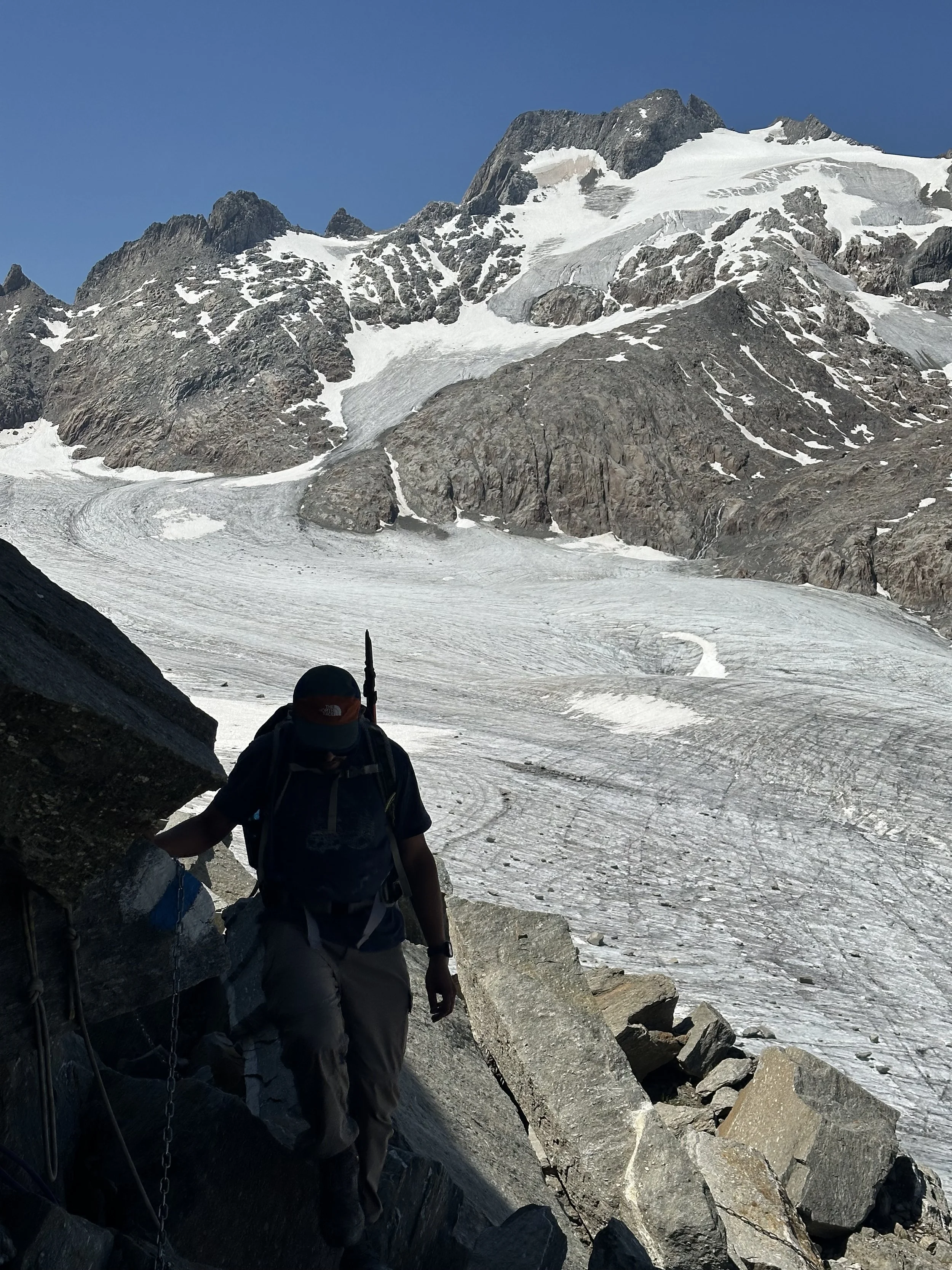
We left the hut at 7:30, first retracing our path down from the hut until we reached a crossroad. We were taking the so-called “Schafweg,” the shepherd’s path: a white-blue-white trail that led steeply up to the cliffs. The path is narrow and slippery, but well-secured with chains, steel cables and pins. I found the first 30 minute to be the most challenging, but soon enough it’s over, and the view from the high plateau is incredible. Soon we passed the Hinterbalmhütte, although unfortunately, we had no time for a stop. Important: This is the last place you have to fill up/purchase water for the rest of the trail.
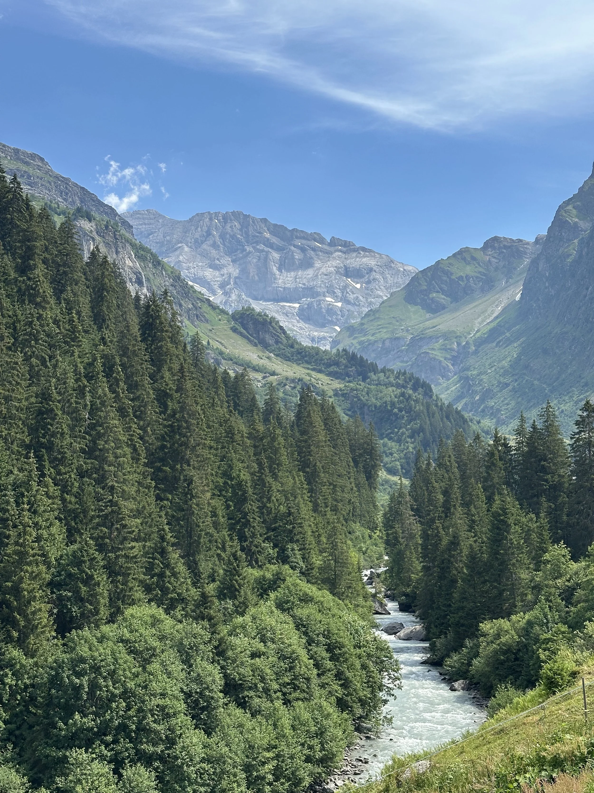
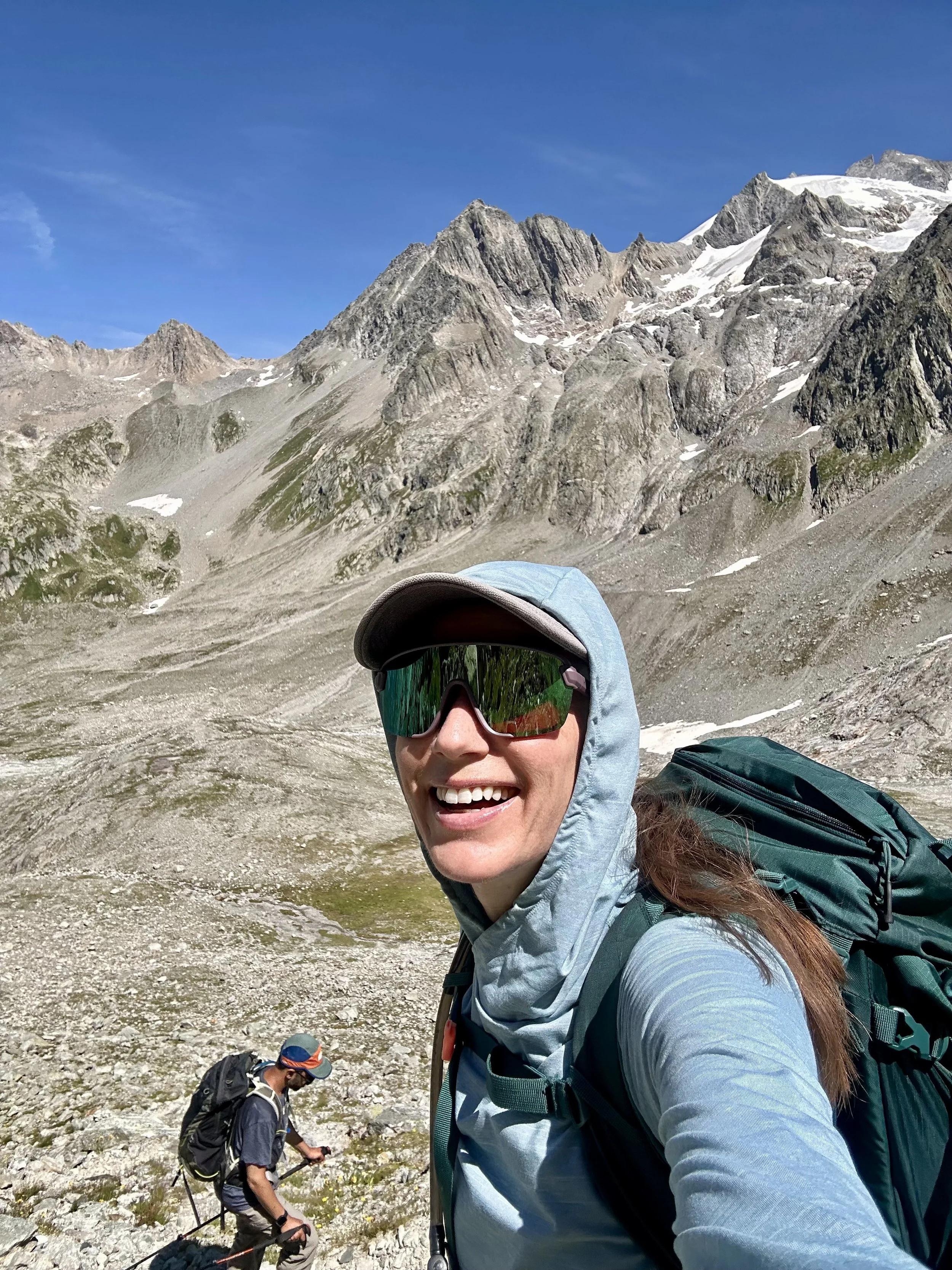
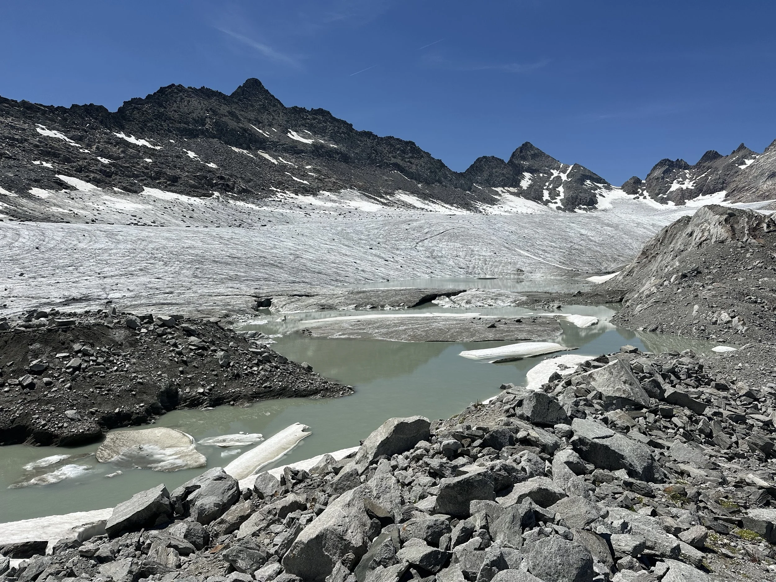
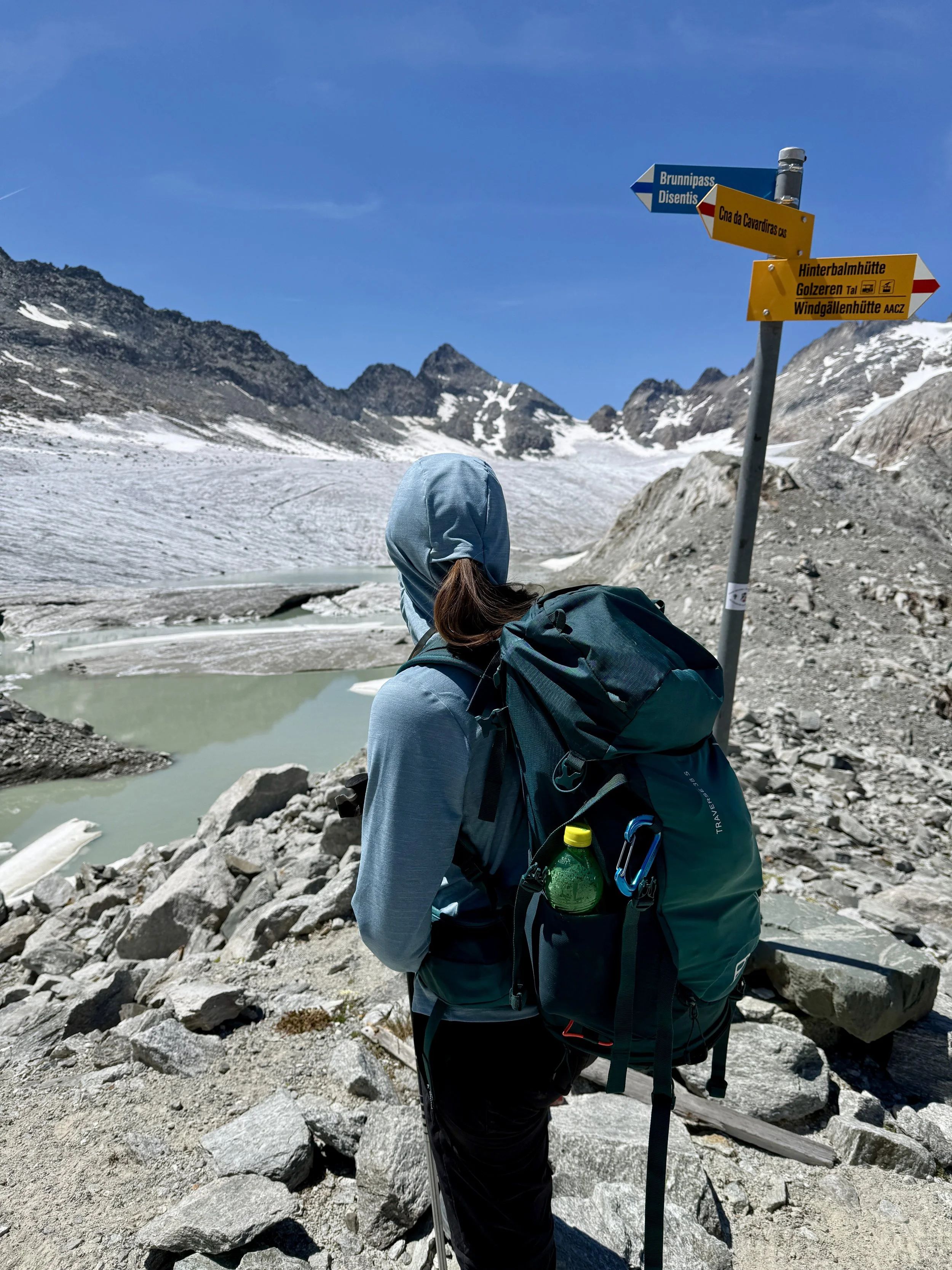
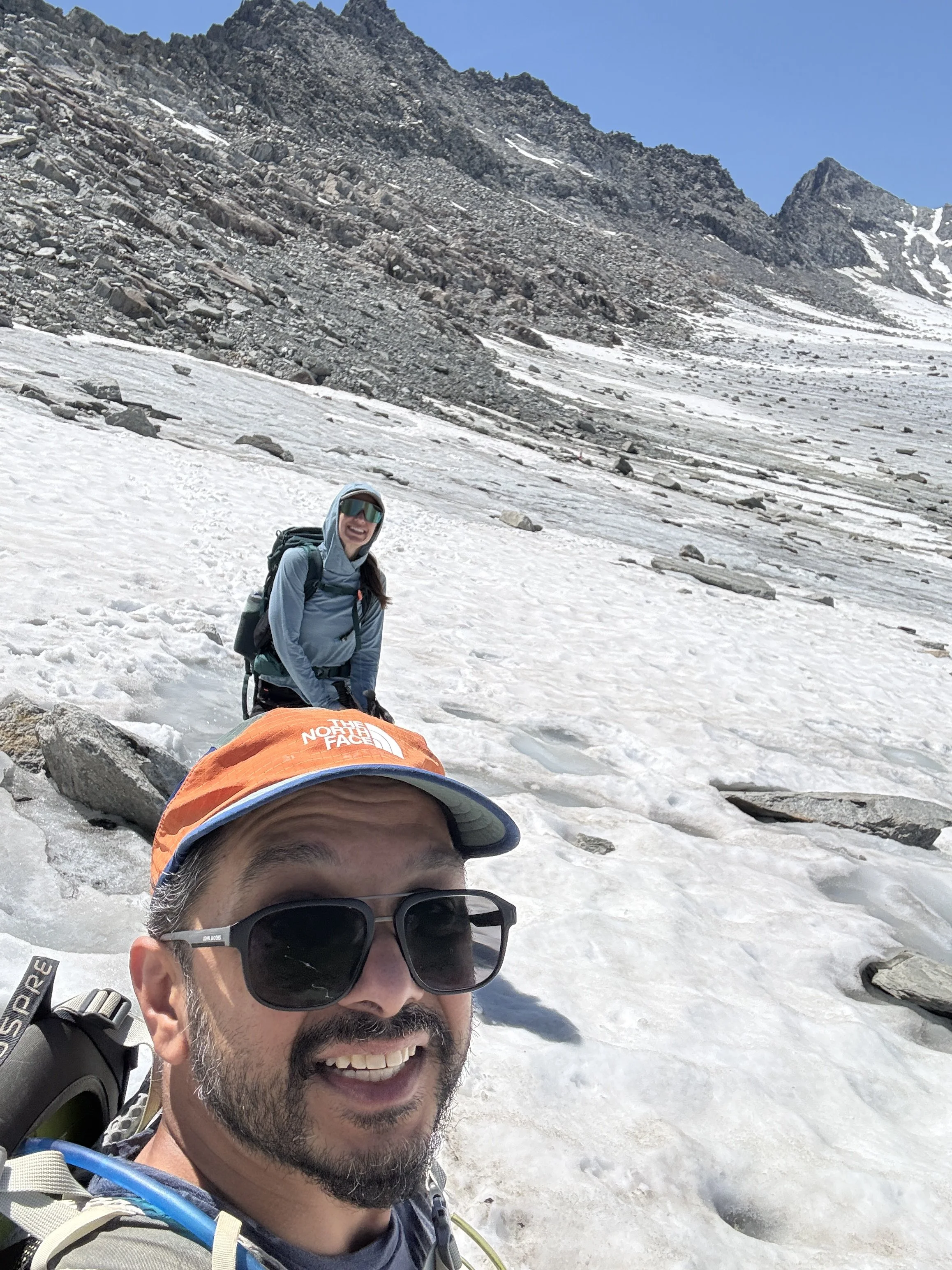
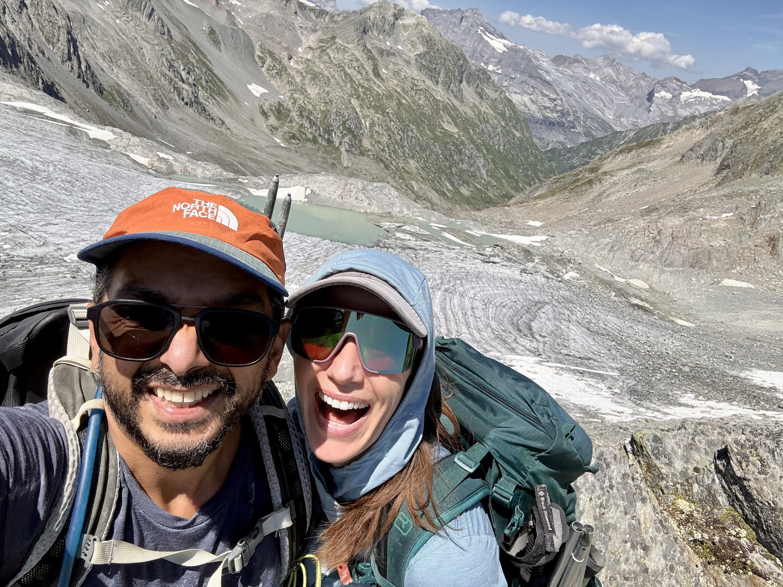
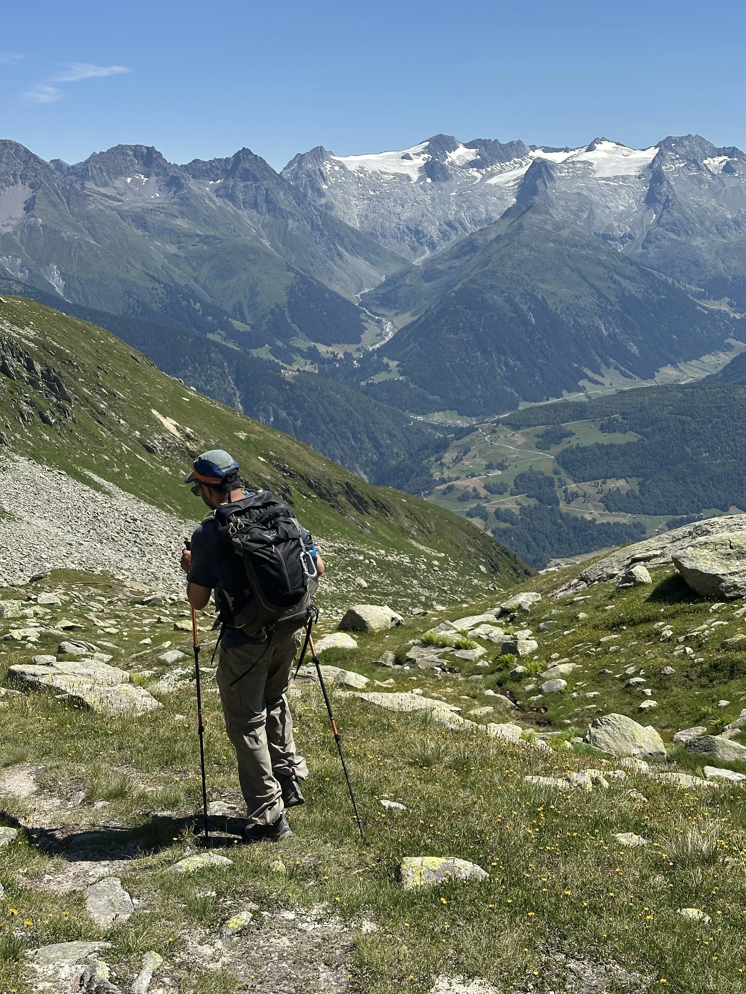
Then we entered the Brunnital, and started the long climb to the Fuorcla da Cavardiras. The transformation along this climb is remarkable. The Brunnital starts out lush and green - waterfalls, wildflower meadows, streams - and then, step by step, the green falls away and is replaced with a high alpine landscape of rock, scree and ice. After the Fuorcla, we began the second white-blue-white (T4) portion of the day. First, the crossing of the Brunnifirn glacier (or rather, the very edge of it), following the marker cones. We put on our microspikes for a short section here, but honestly, it's mostly slush and rocks at this point (a sobering reminder of how fast these glaciers are disappearing). Then came more steep, secured scrambling and one ladder to reach the Brunnipass - the high point of the day in every sense, and the moment we crossed over from Uri into Graubünden. From up there, a whole new canton opened up: the Surselva, and far below, Disentis.
From the pass, it's a long way down: first a steep, chained descent, then endless boulder fields, and then, finally, FINALLY, our tired legs dragged us triumphantly to the cable car station at Caischavedra. We made it with about 20 minutes to spare, and I have never been so happy to 1.) Buy a cold drink and 2.) Sit in a gondola.
I really want to emphasize that this trail is not for the faint of heart. Most of the terrain on this route, even the T3 sections, is demanding (boulder fields, secured scrambling, steep rocky ascents and descents) and you won’t have much time for breaks, since the last cable car down from Caischavedra leaves at 5pm. I would only recommend this route to experienced hikers prepared for 8–10 hours on mountain and alpine trails. And start early, because you'll need every minute. That said: the landscape is pretty unreal from start to finish.
(Note: If that sounds like more than you bargained for, there's a gentler (and equally worthwhile) way to close the loop: descend via the Windgällenhütte instead. That path is stunning in its own right, and takes you by the very pretty Golzerensee before the cable car back down to Bristen)
If you are interested in doing something like this, but are a bit intimidated with all the planning, I’m happy to help! Check out my hike planning services here.
If these posts have inspired your next adventure, consider leaving me a tip! Your support keeps this space ad-free and fuels my work in the mountains.
Leave a Tip