Höch Gumme: Bernese Oberland/Obwalden
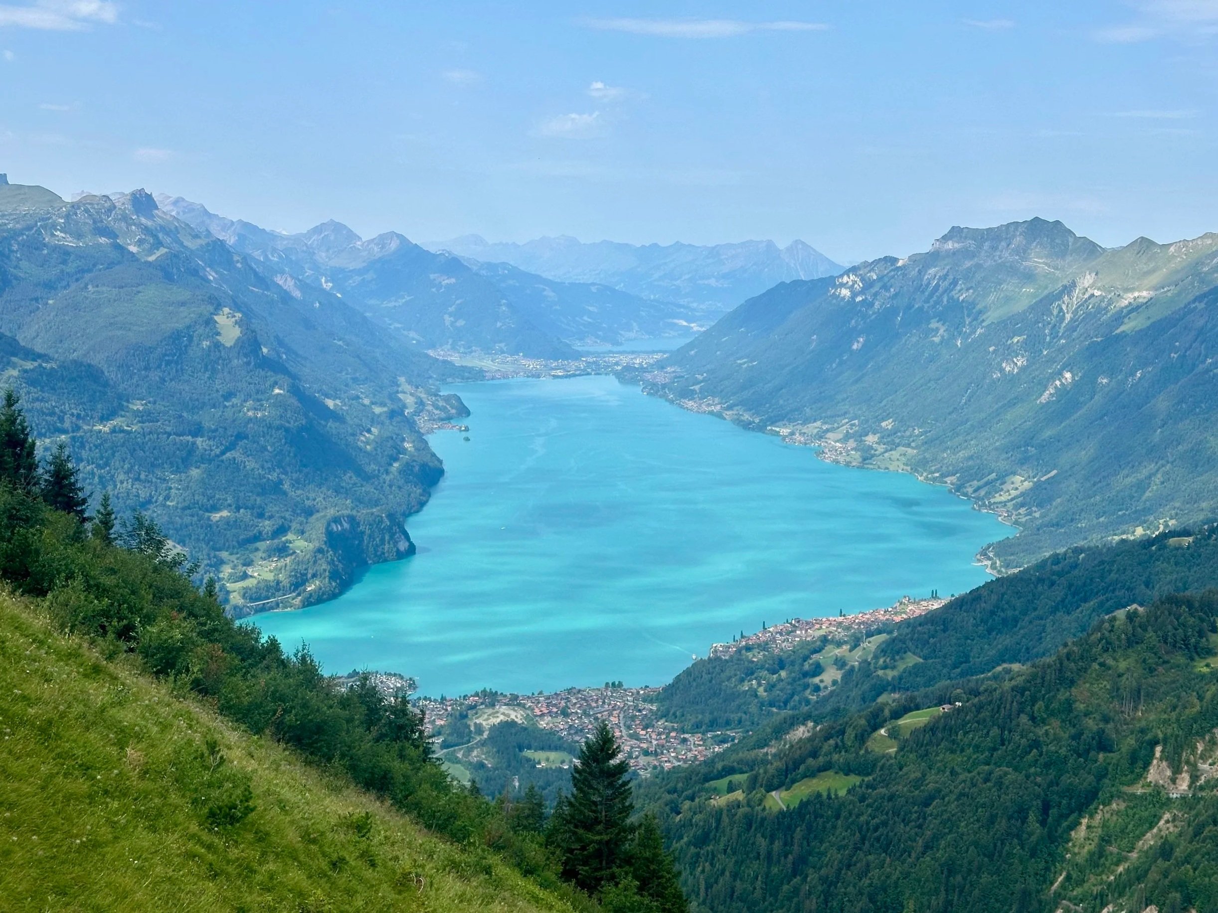
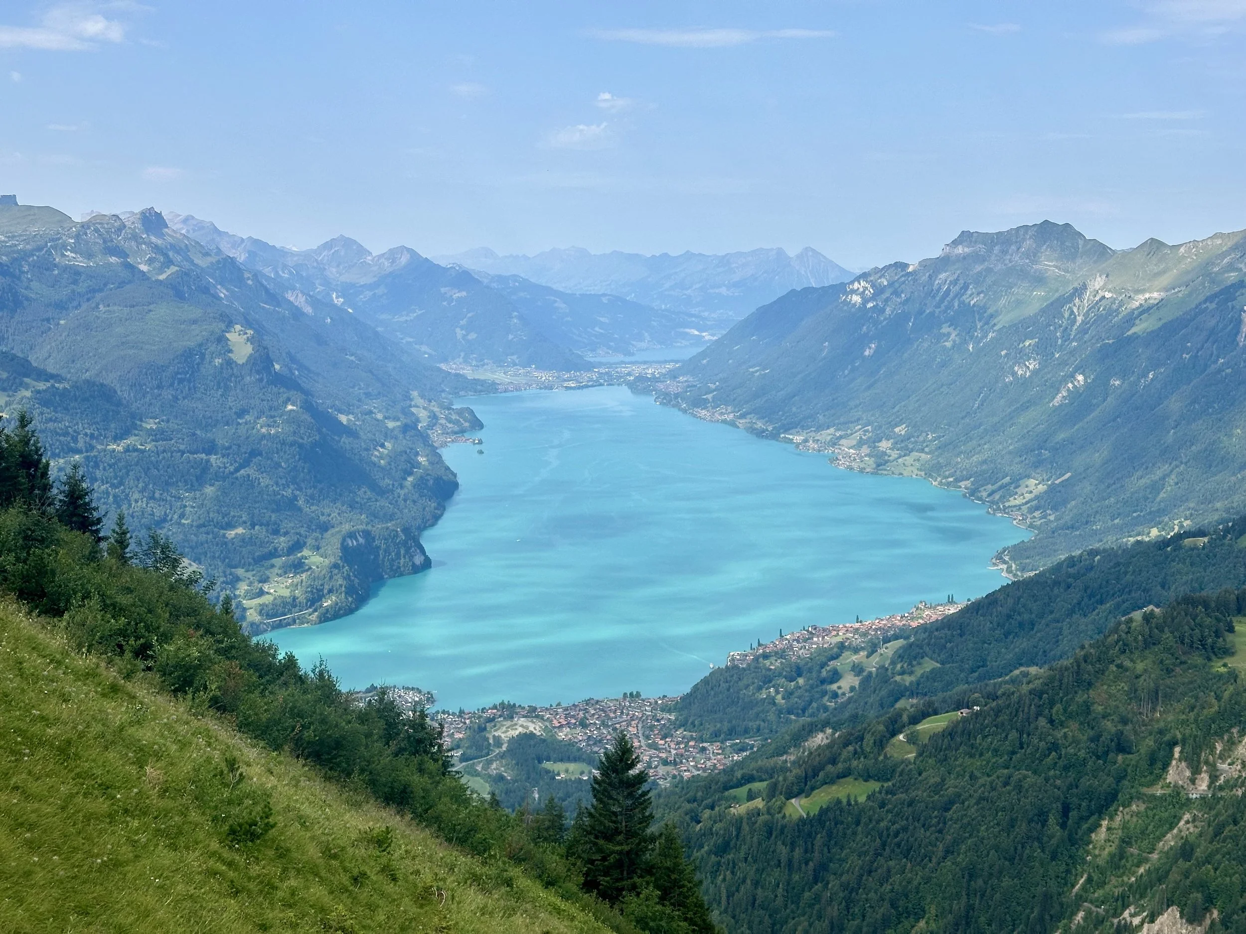
Ever since I snowshoed up to the Höch Gumme peak last winter, I've been eager to come back in the summer. Not just for the summit, which has the best view of Lake Brienz (Brienzersee) in the whole region, but to also spend a sunny afternoon on the terrace at nearby Bärghuis Schönbüel. So when a sunny Saturday finally aligned, we made it happen.
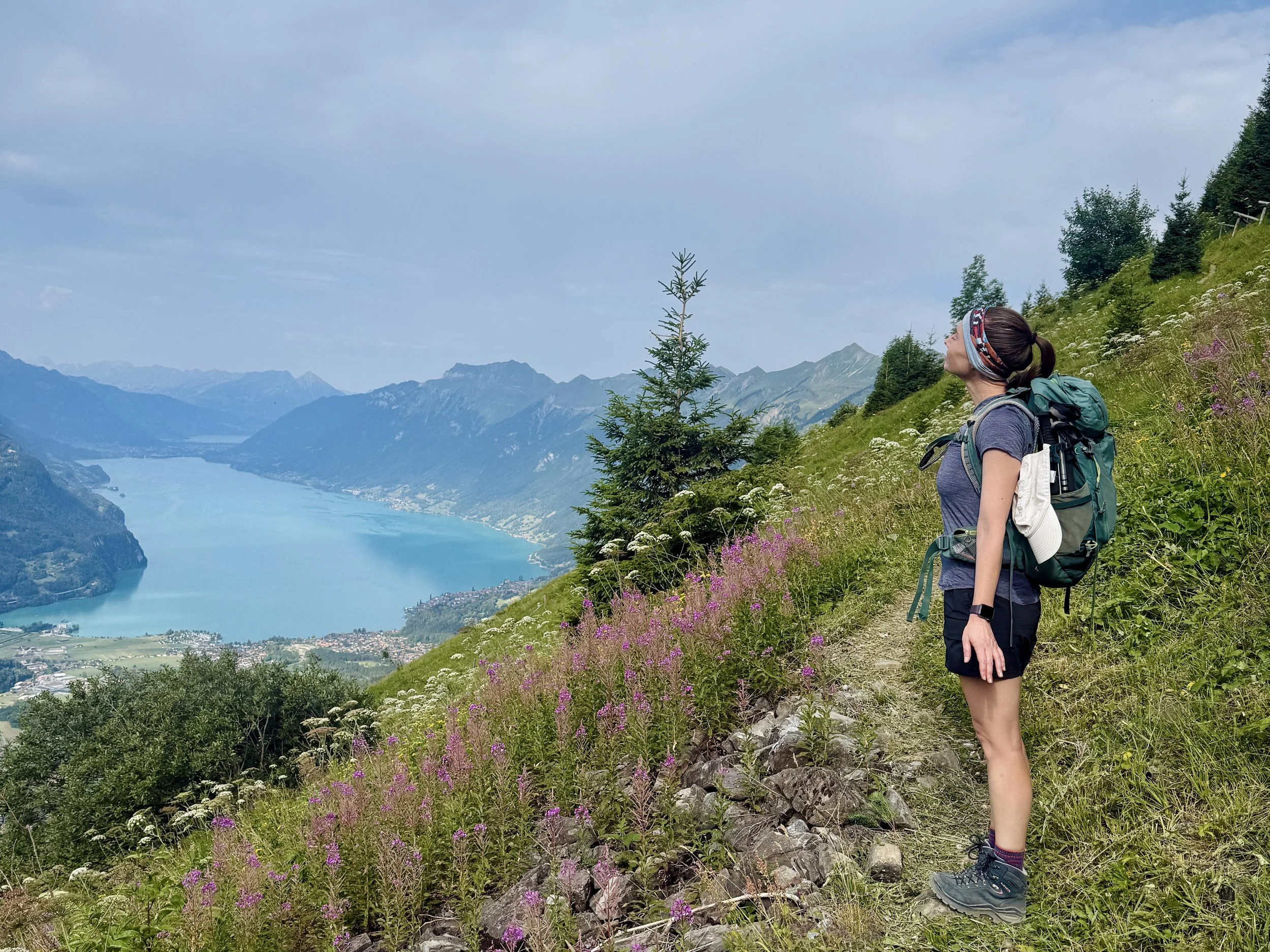
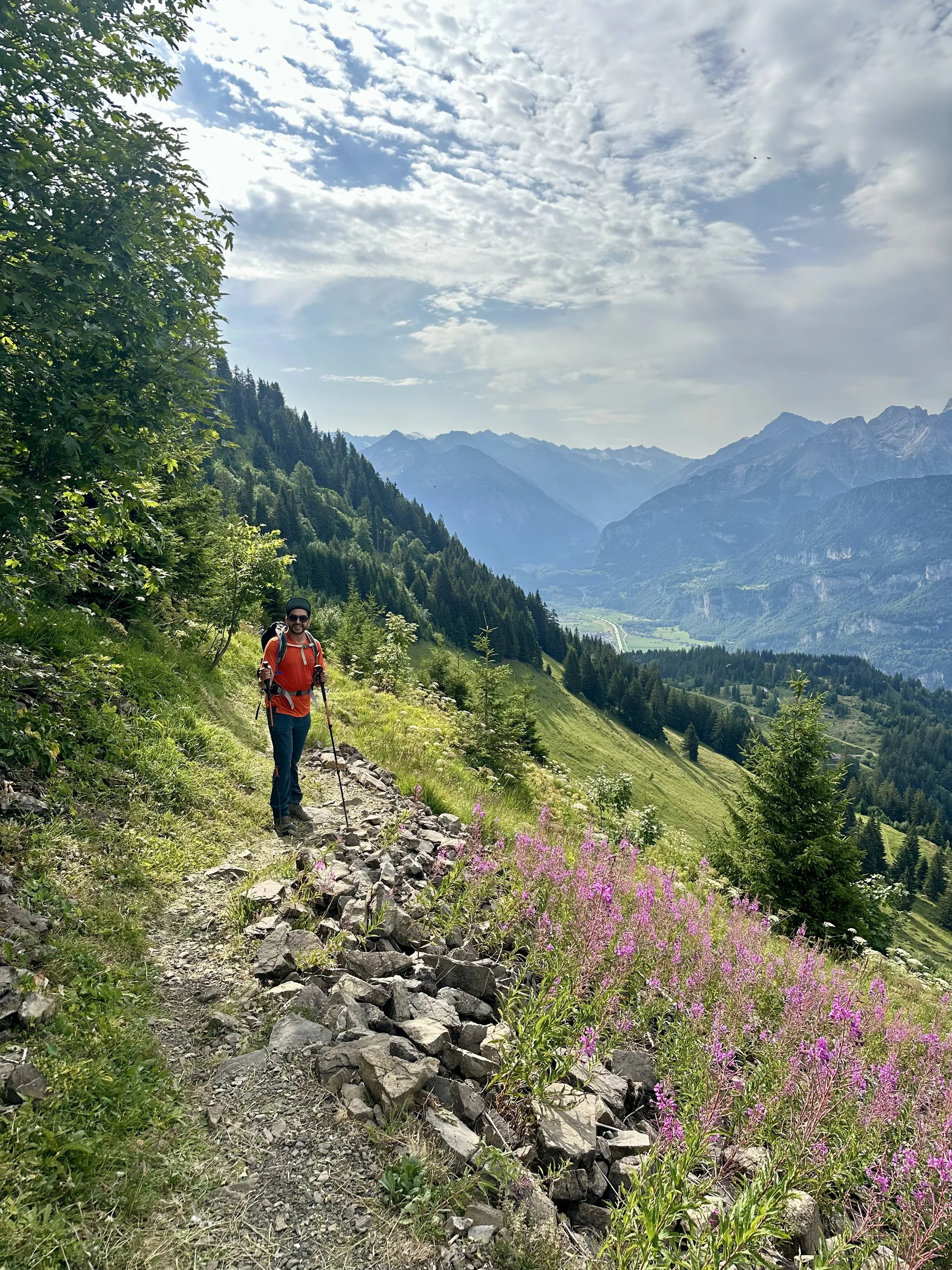
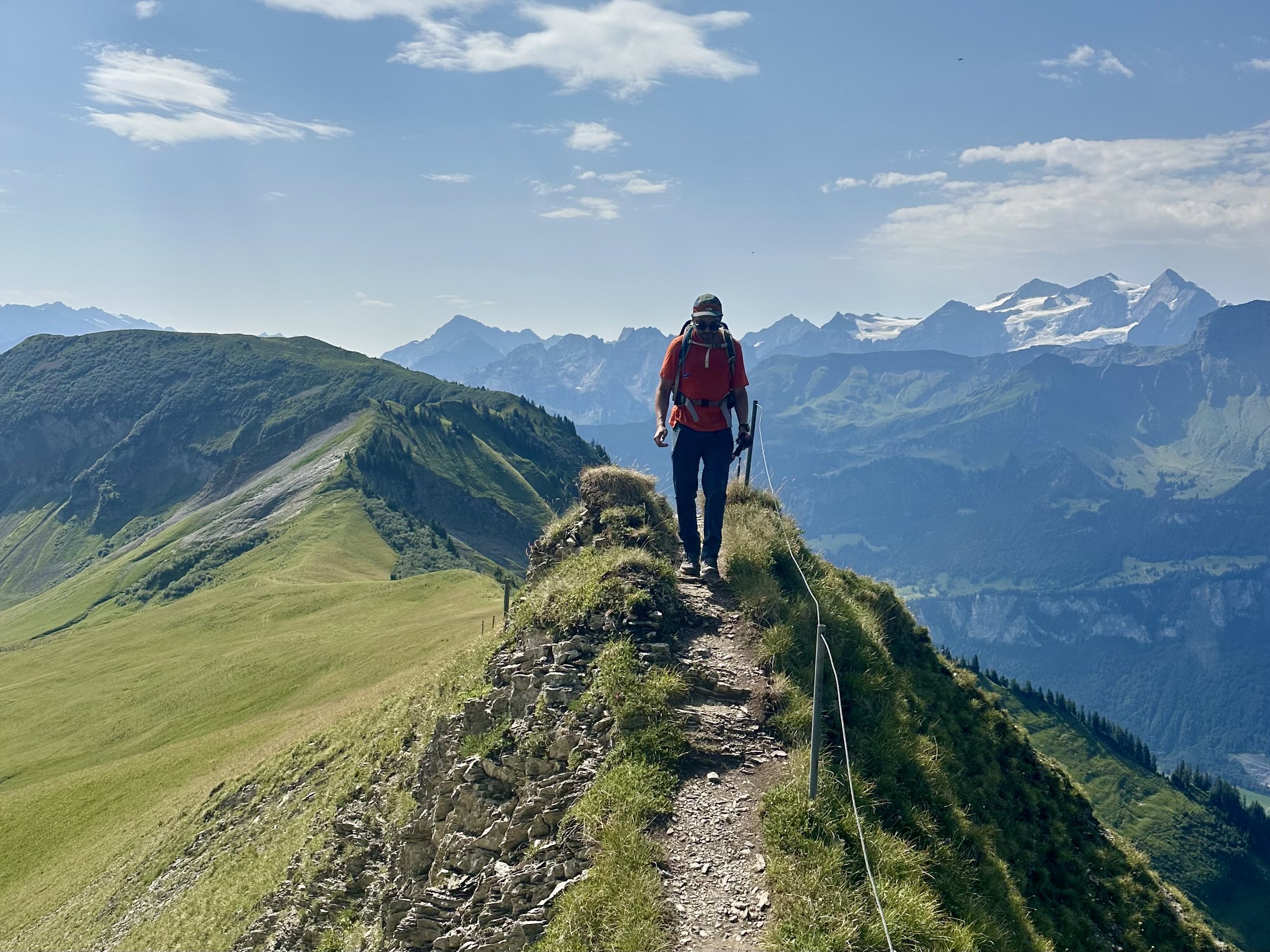
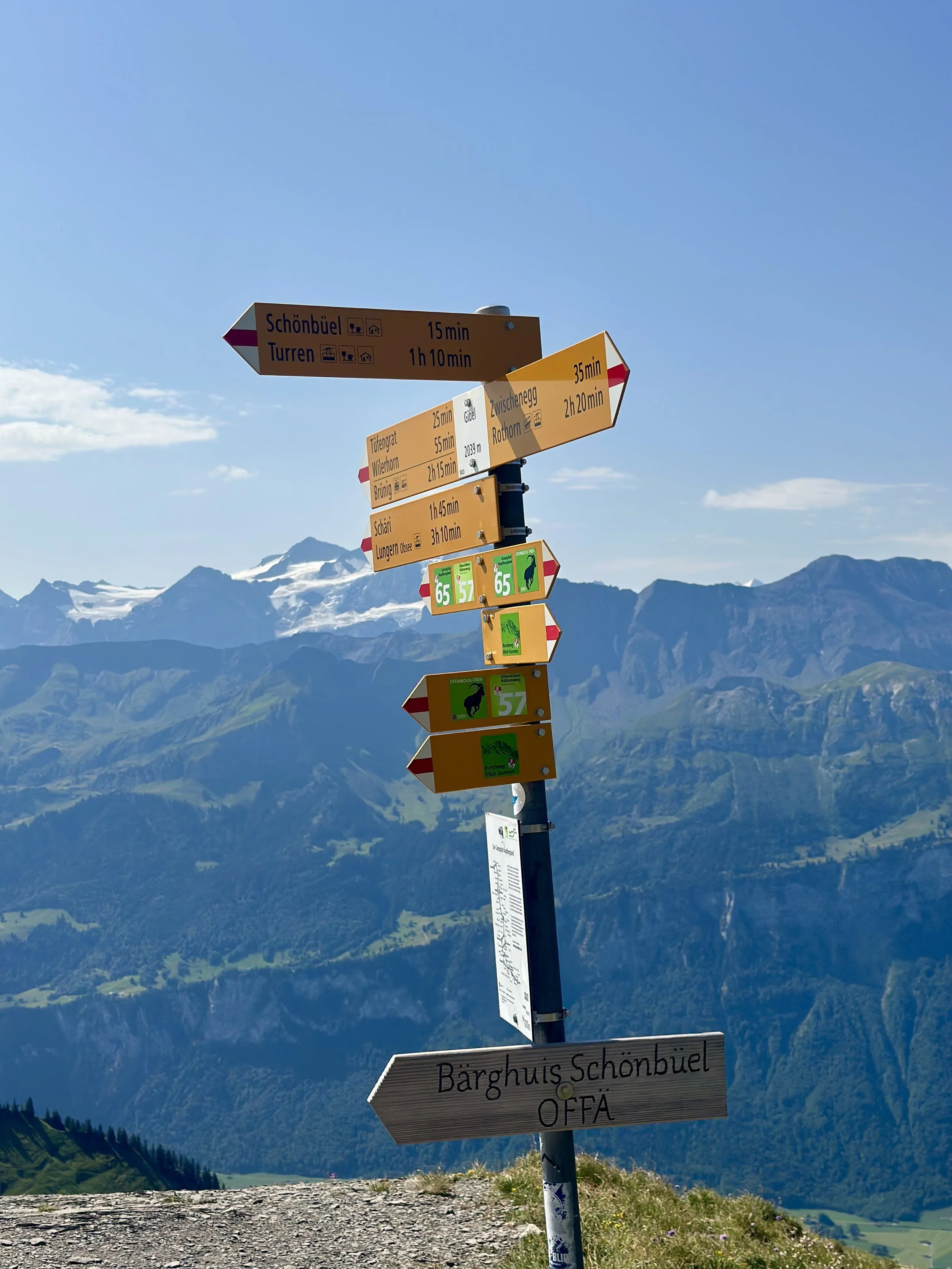
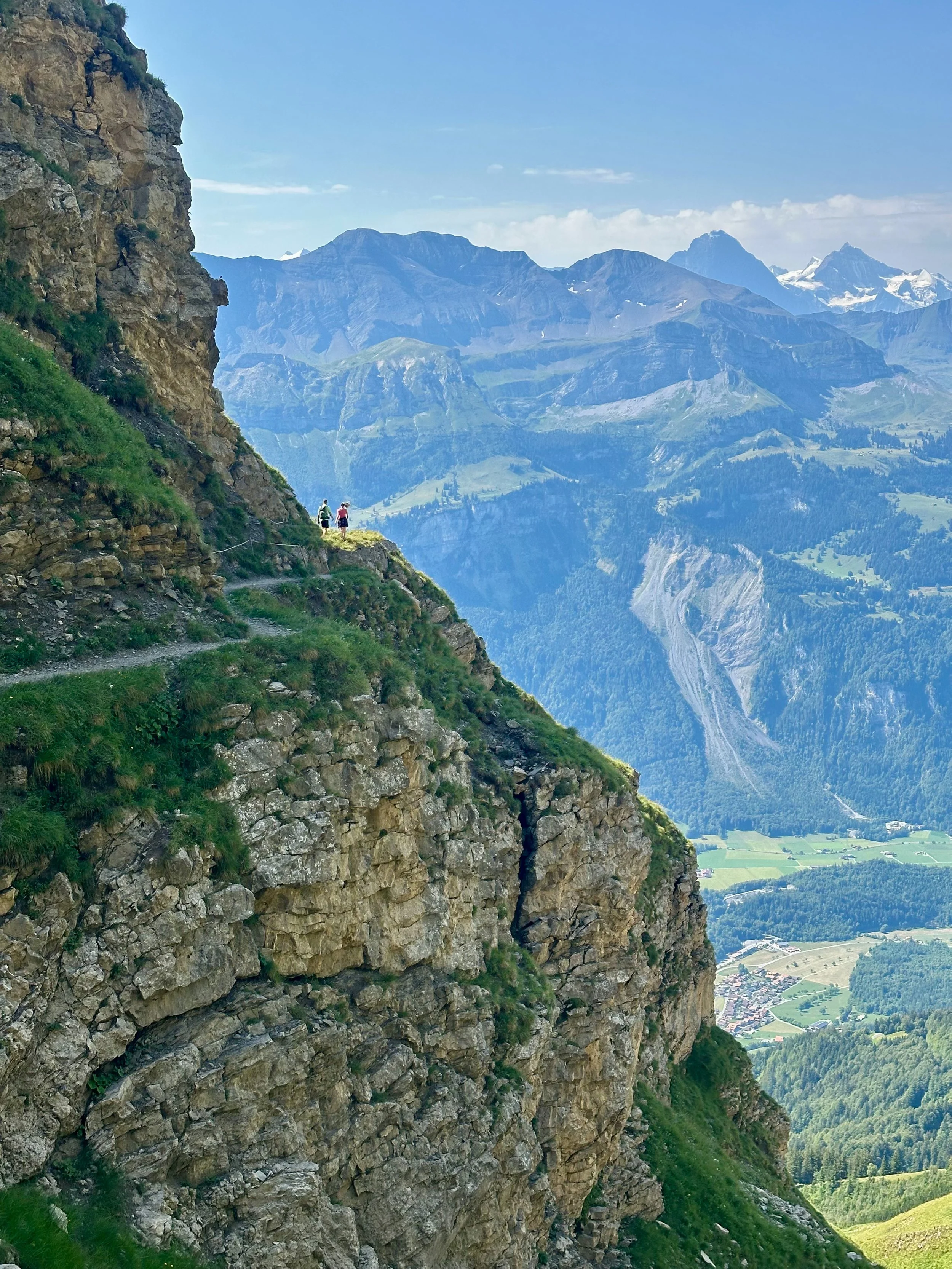
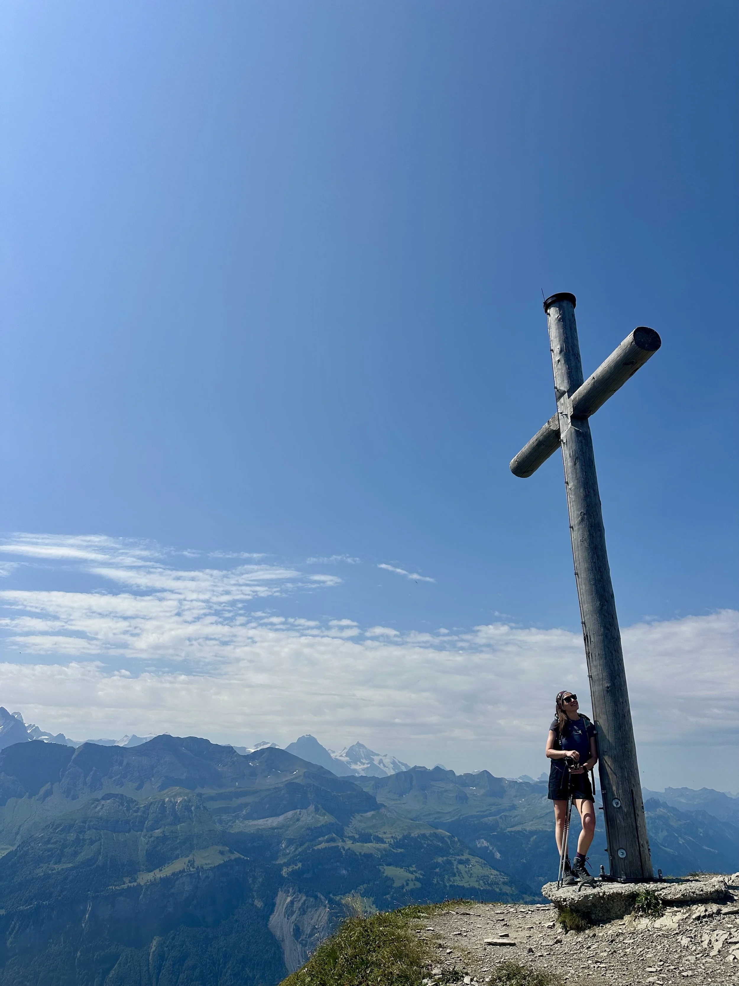
You could make this a loop from the Turren cable car, but I recommend starting at Brunig Pass instead—it gives you more altitude and a fuller day in the mountains. We started by following Route 57 (a stage of the Obwalden Hohenweg) through open meadows before beginning a traverse around the mountains. Some of this traverse is narrow and exposed, so you'll want to be comfortable with heights. Around Gibel, there's a branch point: if the peak doesn't appeal, you can head directly to the hut. But we continued on the traverse briefly, then turned and headed up toward the summit. There's another short, exposed ridge section, and then we reached the summit cross — and yes, even when you've had great views the whole way, there's something special about reaching the top.
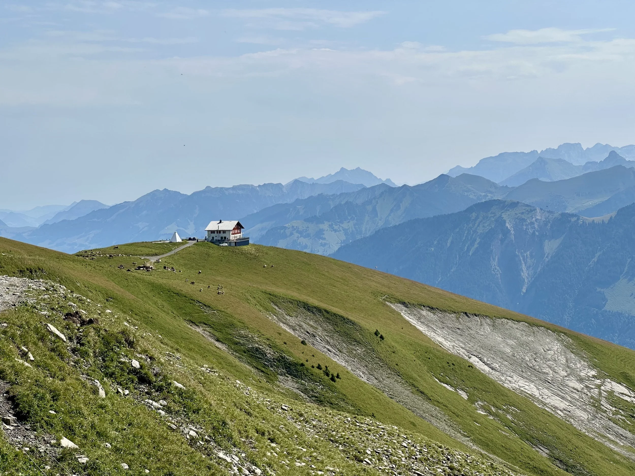
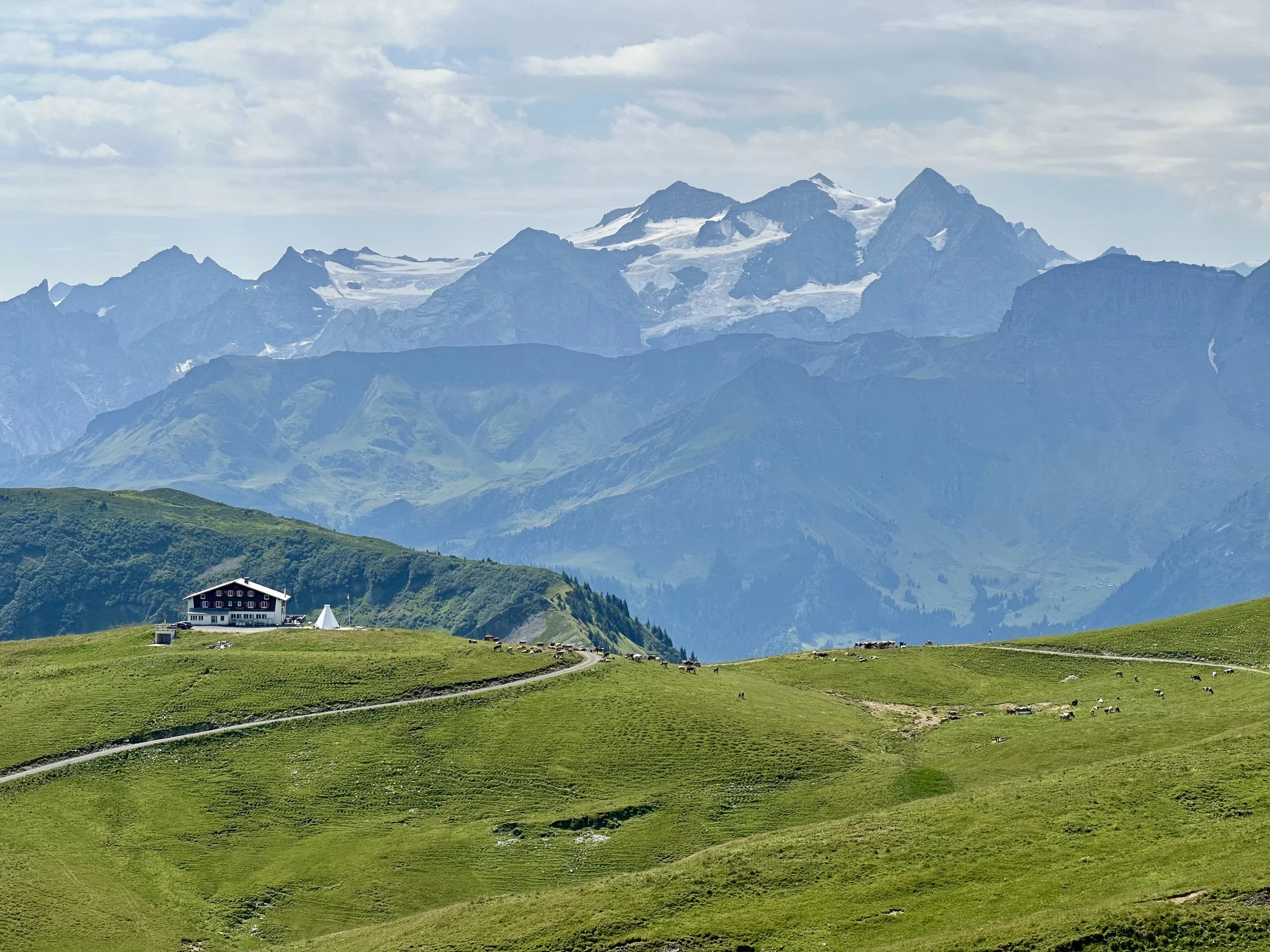
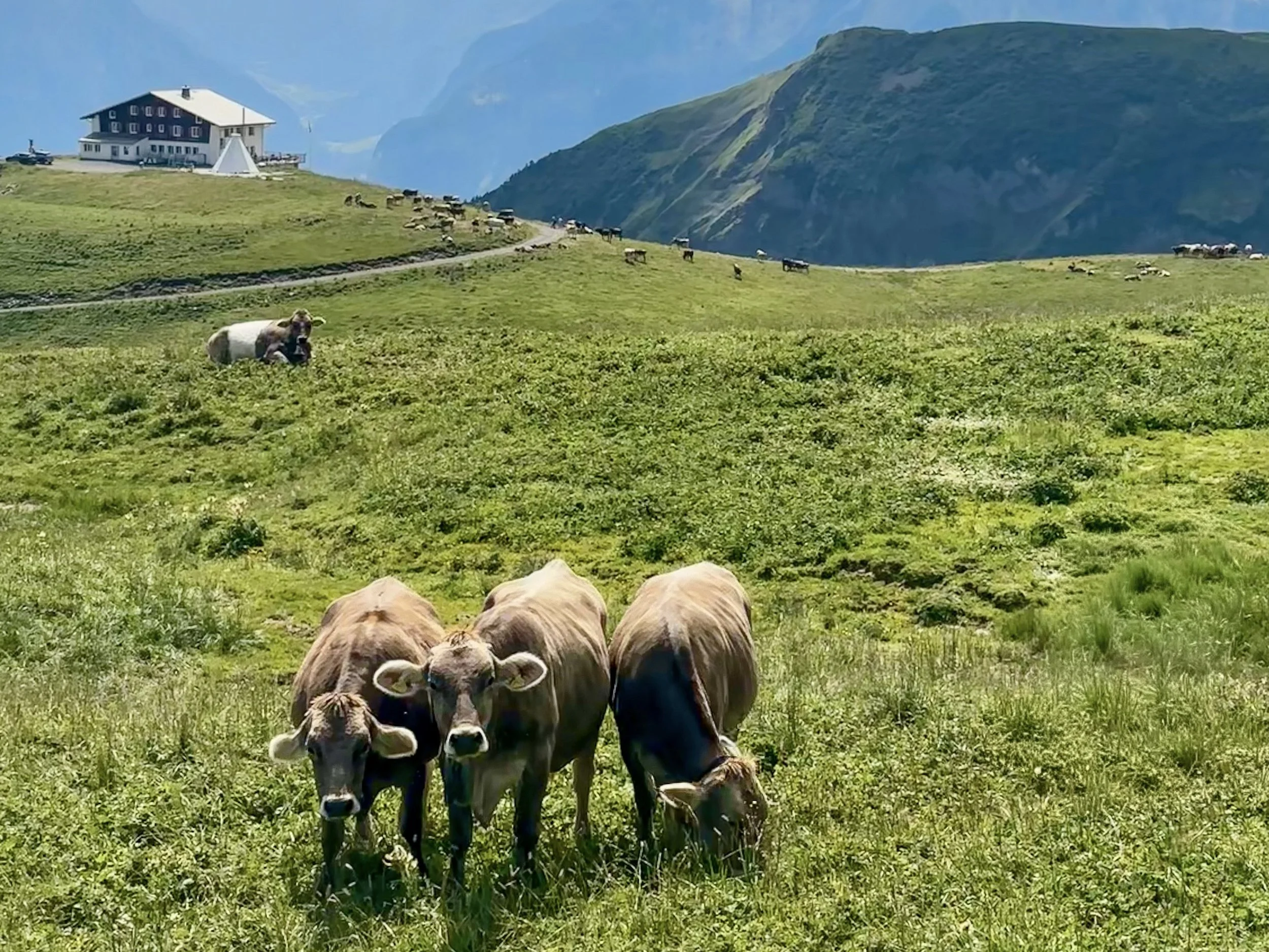
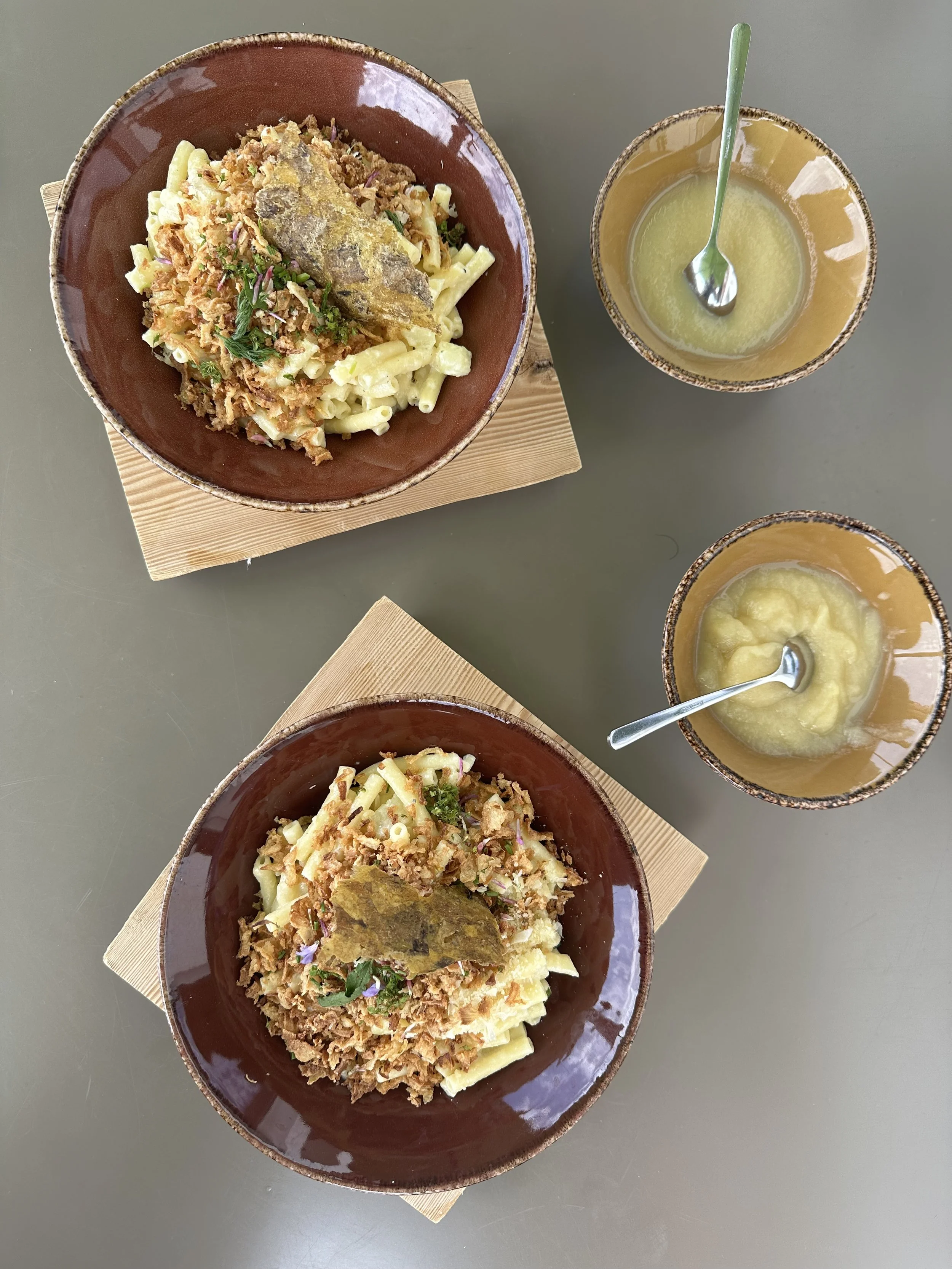
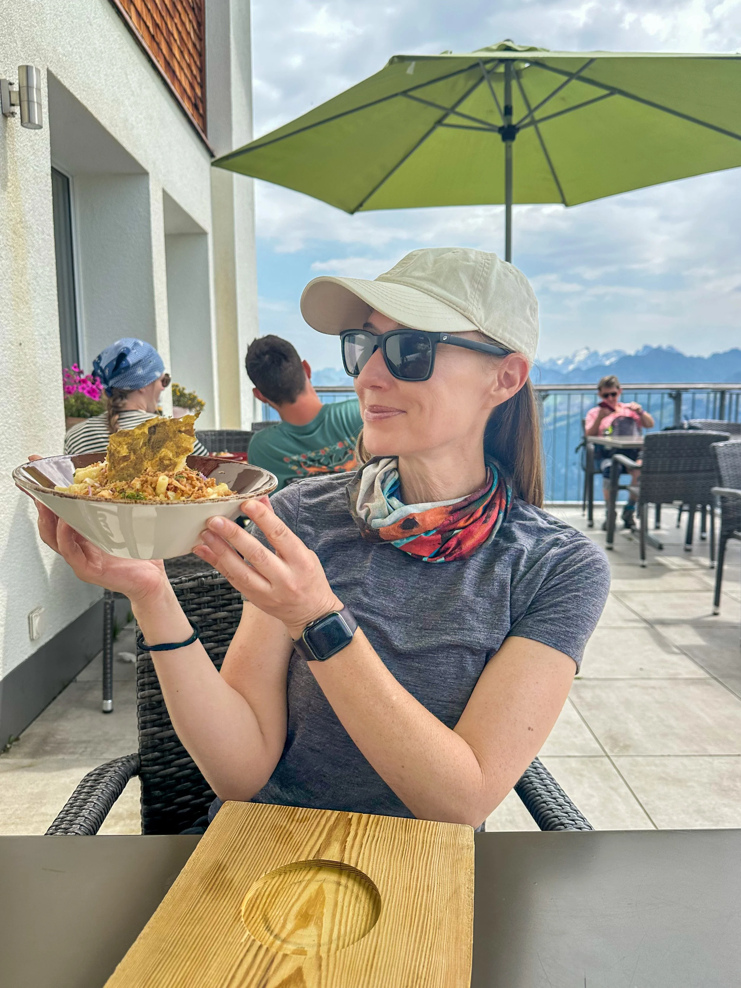
From the summit, follow the ridge down and rejoin the main path toward the hut. As we descended, we passed through alpine meadows absolutely thick with grazing cows (seriously, I've never seen so many in one place) before arriving at the Bärghuis Schönbüel. They make great version of all the Swiss mountain classics. I'm partial to the Älplermagronen, but after watching a variety of dishes come out of the kitchen, can confirm that everything looks delicious. We sat on that terrace for a good hour, enjoying the great food and soaking in the views.
From the hut, it's about an hour down to the Turren cable car station. I am so grateful for all of the mountain infrastructure in Switzerland, by my god, sometimes the rides down the mountain are so steep. I may be getting better with my fear of heights, but I will just never love dangling in the air like that. The valley station is a bit of a walk from the train station, but there's a free shuttle that gets you there.
Start: Brünig-Hasliberg
End: Turren (gondola to Lungern)
Route: Brünig - Teiffengrad - Gibel - Höch Gumme - Schönbüel - Turren
13km, 1350m ascent/830m descent, T3 (T2 without Höch Gumme)
Tip: For a slightly easier version of this hike without the exposed sections, you can follow this trail.
If these posts have inspired your next adventure, consider leaving me a tip! Your support keeps this space ad-free and fuels my work in the mountains.
Leave a Tip