Gemsfairenjoch: Uri/Glarus
This out-and-back alpine trail follows the border between the cantons of Glarus and Uri - so you know it’s going to be good. We started by taking the small gondola (only fits six!) from Urnerboden, a tiny little village on the largest alp in Switzerland. At the mountain station, we began following the white-blue-white marked trail all the way up the ridge.
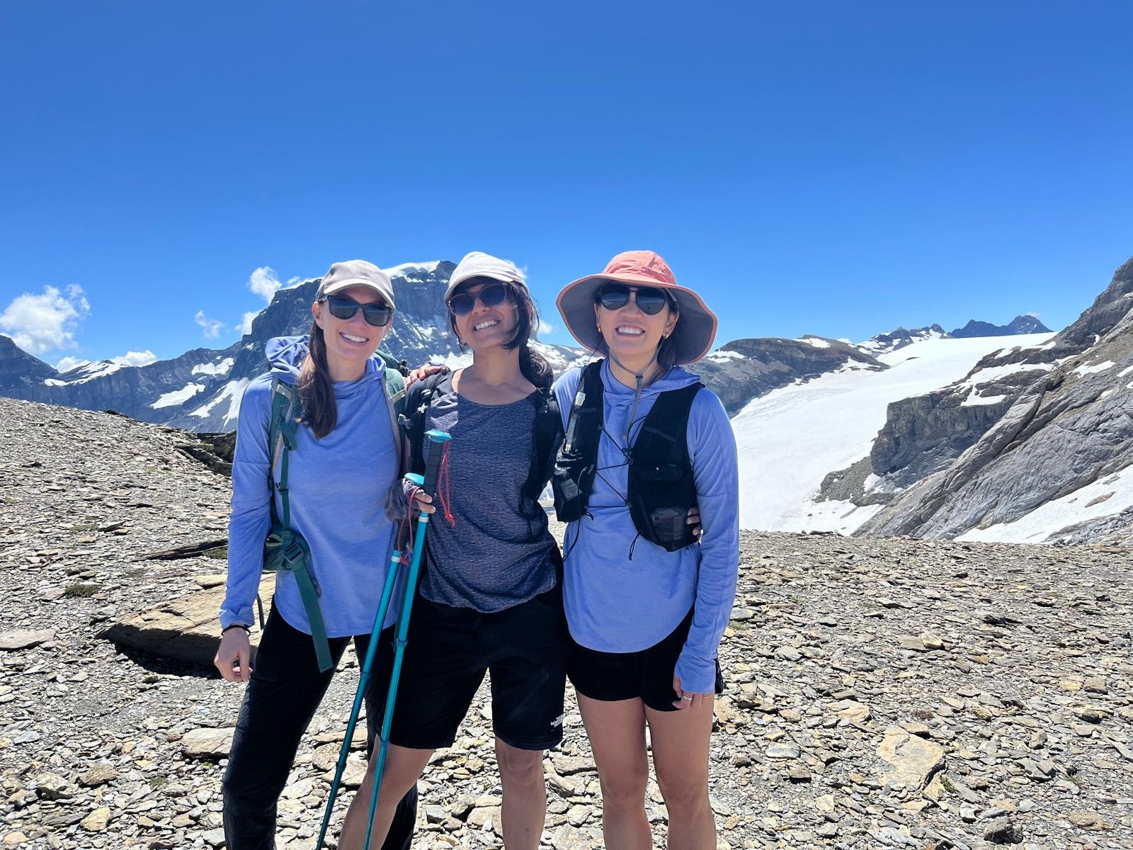
The first part of the trail was relatively easy, winding up through sparse green meadows, but the terrain changed to scree, shale and rocks in the second half. The hiking landscape here was quite barren at times, almost moon-like (although the temperature was so high that day, it felt like we weren’t on the moon but the surface of the sun). The views of the surrounding mountains became more and more expansive with every meter. There is one section that is secured by chains, and while there is a pretty big drop-off to one side, the trail itself is (relatively) far enough away from the edge. Then, the trail skirts the cliffs until the wide plateau of Gemsfairenjoch is reached. The Tödi and Biferten Glacier are in full, unobstructed view, along with the rest of the Glarus Alps. It’s stunning.
In the past, this trail passed over the Langfirn Glacier and required appropriate mountaineering equipment. Sadly, the glacier has melted so much that in 2020 the trail was downgraded to a T4.
Start/End: Fisetengrat mountain station (or Urnerboden Dorf)
Route (out and back trail)
9km, 936m ascent/descent. T4